Envisat Symposium 2007
Throughout the week 23-27 April, scientists at the Envisat Symposium have been presenting the latest results of ESA Earth observation satellites, and in particular its flagship, Envisat.
Following in the footsteps of ESA’s former missions ERS-1 and ERS-2, launched in the 1990s, Envisat’s sophisticated optical and radar instruments have produced in five years a large amount of data. Its observations of the Earth’s land, atmosphere, oceans and ice caps have provided scientists with a greater understanding of the workings of our planet and the reasons behind climate change.
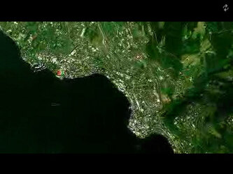
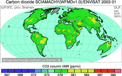
Apart from mapping and monitoring atmospheric pollution, Envisat is also taking the temperature of oceans and other signs of global warming like the melting of the ice caps in Greenland and Antarctica.
Instruments on board Envisat such as ASAR (Advanced Synthetic Aperture Radar) and MERIS (Medium Resolution Imaging Spectrometer) are also providing vital information on the biological activity of the planet’s vegetation.
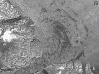
Gathering data in near-real time Envisat can provide the timely and precise information needed to track the path of a hurricane, locate the hot spots of a forest fire, assess the damage extent of an earthquake and even predict where the next one may strike.