
Exhibition offers new perspectives of Earth from space
Graz, Austria – ‘Planet Earth – Exploration from Space’ is a new exhibition illustrating the unique contribution satellite images offer to Earth exploration and the possibilities of up-to-date satellite technology.
The exhibition, supported by ESA, has been organised within the Space Conference for Global Monitoring for Environment and Security (GMES) and takes place at the Landesmuseum Joanneum in Graz, Austria, from 19 April to 11 June 2006.
Satellite images have changed the way we view the Earth and have allowed us to gain a better understanding of the planet. These new perspectives of Earth from space have become an integral part of our society, offering new scientific results and various concrete applications for daily life. The exhibition will also address how sustainable the effects of environmental changes on the planet’s appearance are.
The organisers – Joanneum Research Forschungsgesellschaft mbH, one of Austria’s biggest research institutions, the Austrian Federal Ministry of Transport, Innovation and Technology and the Province Steiermark – have created an exciting world, based on geo-remote sensing via satellites, on two levels of the museum. The organisers are supported by ESA, EUMETSAT, Graz University of Technology and AustroSpace and the Association of Austrian Space Industries.
From the globe to space explorers
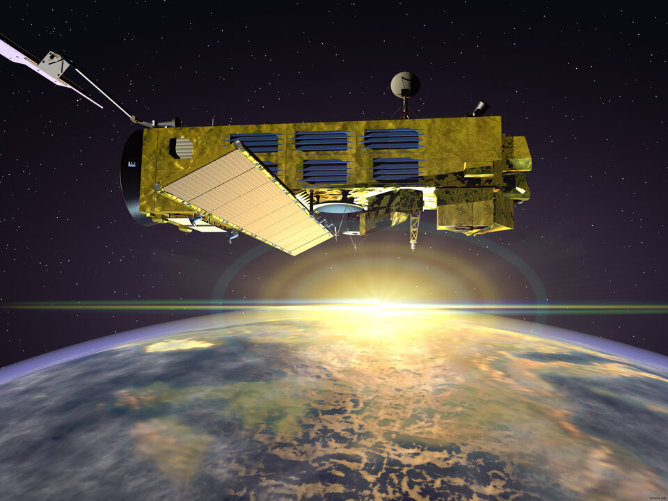
Visitors can learn about the breathtaking possibilities of up-to-date satellite technology and enter a journey-through-time as the exhibition highlights the history of observing the planet starting with atlases and globes then moving to aerial images and sensors via balloons to today’s satellite images. The exhibit shows impressive models of ESA’s environmental satellites ERS and Envisat, the experimental communication satellite Artemis and the Launcher Ariane 5.
Particular interest is put on Austria’s remote-sensing applications, with a broad area dedicated to land cover describing the accurate acquisition of areas regarding dimension and exploitation method. Aerial photos and satellite images are important decision-making aids for the country which is characterised by a hard-to-access mountain landscape and increasing tourism. Other topics include the evaluation of agricultural changes through colonisation, agriculture and tourism and the monitoring of ice glaciers.
A 3D virtual journey

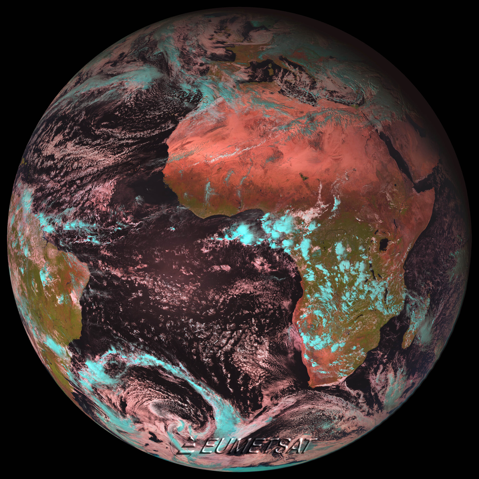
The exhibition presents unique holograms produced from processed satellite data, which show the Earth’s changes following natural disasters. For example, the devastating damages of the Asian Tsunami in December 2004 are illustrated with before and after satellite images of the area. Visitors can also view live images of the Earth out of geostationary orbit provided by the European weather satellite Meteosat’s acquisition station. There will also be multimedia applications featuring ESA and the European GMES-initiative as well as a competition with prizes for ‘little’ researchers.
One of the highlights of the exhibit is the virtual voyage. Equipped with 3D glasses, viewers of the animation fly over computer animated virtual three-dimensional landscapes. The videos, produced with IMX cinema technology, allow the audience a detailed impression of the quality of high resolution satellite imagery.
GMES: Complex exploration of the planet from space
The exhibition is being organised within the framework of the European Union conference on the GMES initiative (Global Monitoring for Environment and Security), which takes place on 19 and 20 April at Karl-Franzens-Universität in Graz. GMES is a joint European Commission/ESA programme for the extensive monitoring of Earth with sensors supported from Earth and Space, in order to provide politicians and experts with data for various political decisions related to environmental, economic, transport and security issues – comprising both global problems like monitoring the compliance of international climate conventions and the provision of information for local authorities to locate disasters or emergencies.
ESA, responsible for the space component, is developing a series of different satellite missions and an overall data acquisition system for all existing European and national missions. The GMES programme is in the implementation phase and is expected to be completed in 2007/2008.
The exhibition is open to the public Tuesday through Sunday from 10.00 till 18.00 and on Thursday from 10.00 till 20.00.
For further information please contact:
Simonetta Cheli
ESA/ESRIN
Head of Public and Institutional Relations Office
Tel. + 39 06 941 80 350
simonetta.cheli @ esa.int

