Changing lands
The Sentinel-1 mission opens up new possibilities for many land applications.
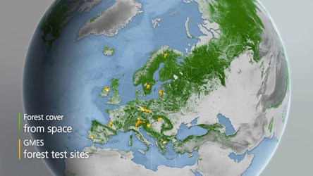
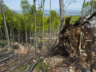
The satellites’ frequent revisits over the same area allow changes in land cover to be closely monitored. This is particularly useful for keeping an eye on tropical forests that are typically shrouded by cloud and for detecting illegal timber harvesting worldwide.
Land cover information is also important for agricultural practices, to estimate crop acreage, to provide soil moisture information and to forecast yields. This makes Sentinel-1 a valuable complement to the Sentinel-2 multispectral optical mission. Moreover, this mission is the only European satellite specifically designed for fast response to emergencies and disasters such as flooding and earthquakes.
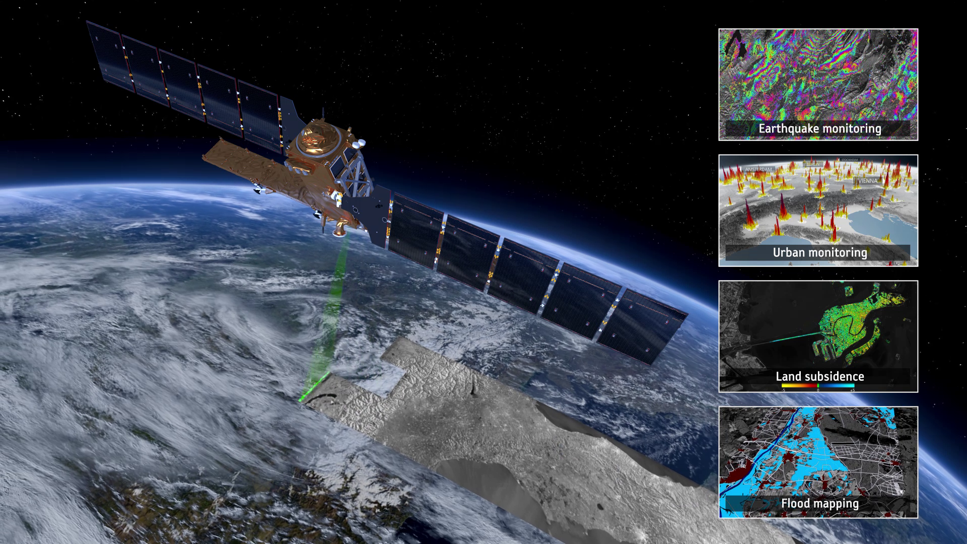
Radar images – such as those provided by Sentinel-1’s C-band synthetic aperture radar – are the best way of tracking land subsidence and structural damage.
The ‘radar interferometry’ remote sensing technique combines two or more radar images over the same area to detect changes occurring between acquisitions. Interferometry allows for the monitoring of even slight ground movement – down to a few millimetres – across wide areas. As well as being a valuable resource for urban planners, this kind of information is essential for monitoring shifts from earthquakes, landslides and volcanic uplift.
While Sentinel-1 offers timely information for a multitude of operational land applications, it continues more than 20 years of radar imagery.
This archive is not only essential for practical applications that need a long-term dataset, but also for understanding the long-term impacts of climate change. Sentinel-1, therefore, helps to arm decision-makers with the information they need to make informed choices for a sustainable future.