Instrument
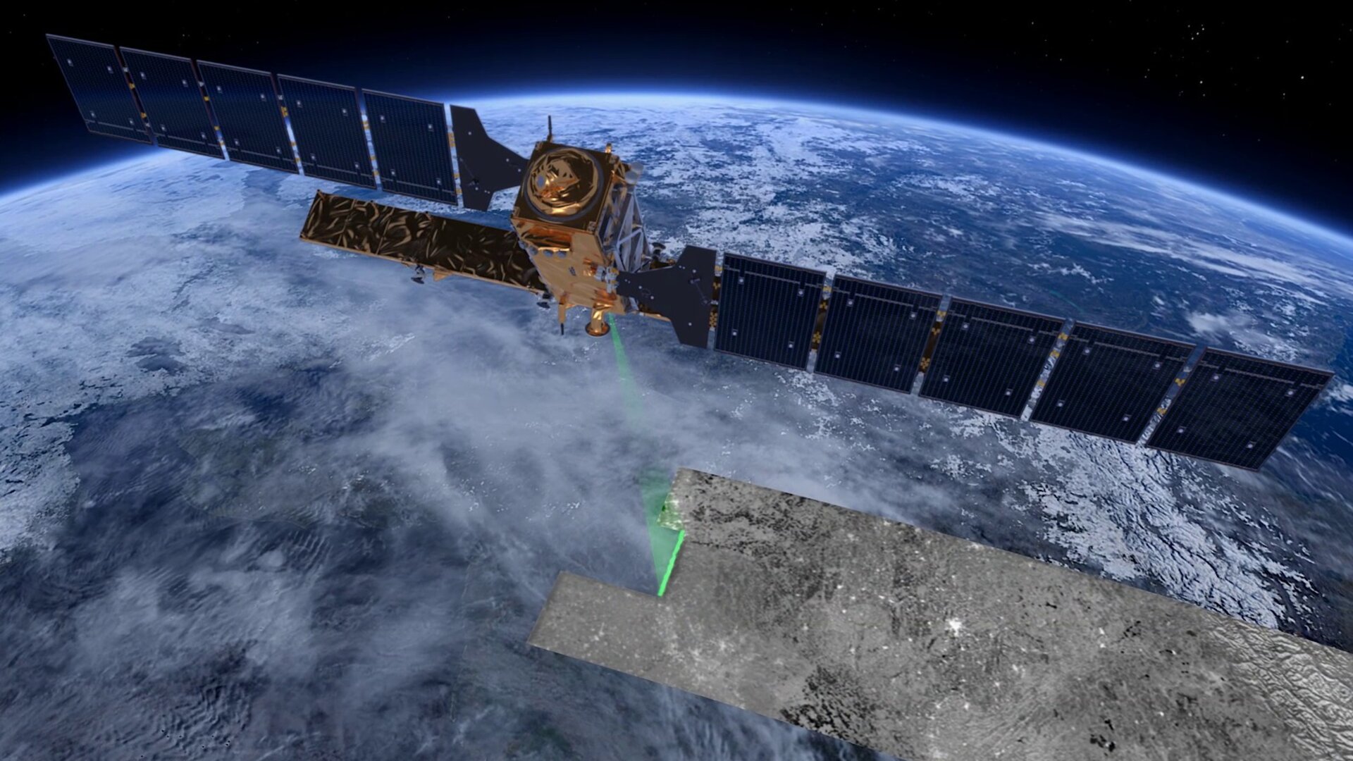
Based on a well-established heritage from the ERS, Envisat and Radarsat missions, Sentinel-1 carries a 12 m-long advanced synthetic aperture radar (SAR), working in C-band.
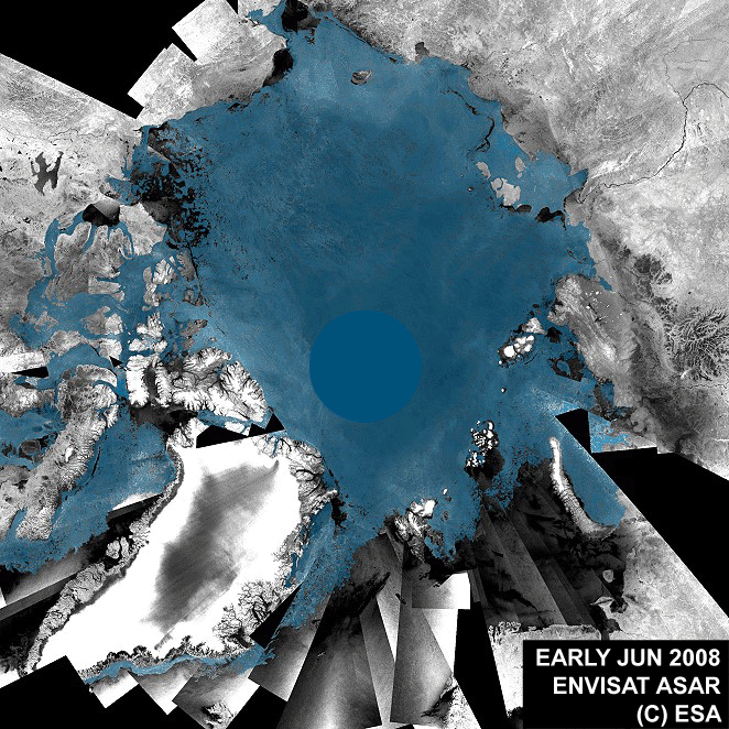
The advantage of radar as a remote sensing tool is that it can image Earth’s surface through rain and cloud, and regardless of whether it is day or night. This is particularly useful for monitoring areas prone to long periods of darkness – such as the Arctic – or providing imagery for emergency response during extreme weather conditions.
Radar data can also be used for monitoring land deformation. The 'radar interferometry' remote sensing technique combines two or more radar images over the same area to detect changes occurring between acquisitions.
Interferometry allows for the monitoring of even slight ground movement – down to a few millimetres – across wide areas. As well as being a valuable resource for urban planners, this kind of information is essential for monitoring shifts from earthquakes, landslides and volcanic uplift.
Modes of difference
The radar operates in two main modes: Interferometric Wide swath and Wave.
Interferometric Wide swath mode, the default mode over land, has a swath width of 250 km and a ground resolution of 5 x 20 m. This mode images in three sub-swaths using the Terrain Observation with Progressive Scans SAR – or TOPSAR. With this technique, the radar beam scans back and forth three times within a single swath (called sub-swaths), resulting in a higher quality and homogeneous image throughout the swath.
Wave mode acquisitions – which can help to determine the direction, wavelength and heights of waves on the open oceans – are 20 x 20 km, acquired alternately on two different incidence angles every 100 km.
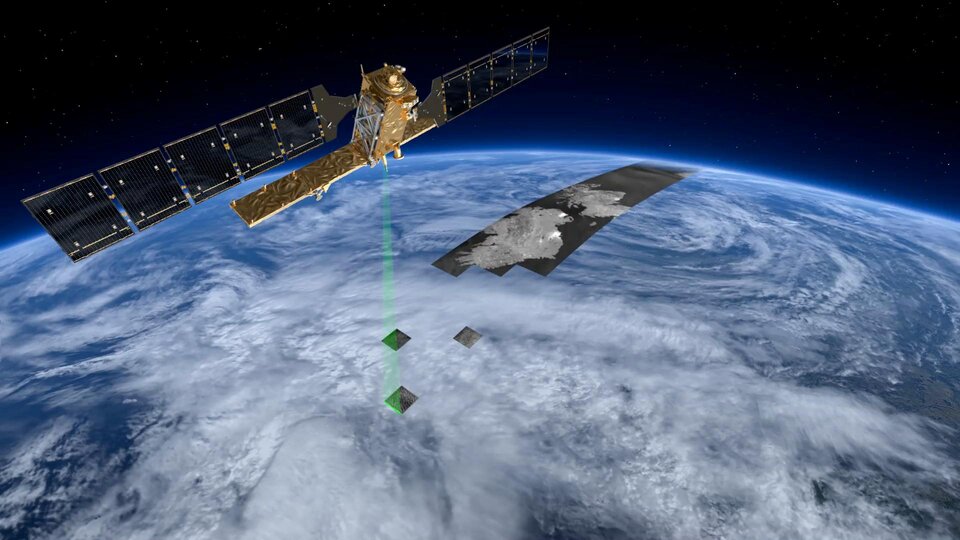
There’s also the potential for operating it in two additional modes: Stripmap and Extra Wide Swath.
Stripmap mode provides a continuity of ERS and Envisat data, offering a 5 x 5 m resolution over a narrow swath width of 80 km.
Extra Wide Swath mode is intended for maritime, ice and polar zone operational services where wide coverage and short revisit times are demanded. This mode works similarly to the Interferometric Wide swath mode employs the TOPSAR technique using five sub-swaths instead of three, resulting in a lower resolution (20 x 40 m). Extra Wide Swath mode can also be used for interferometry.