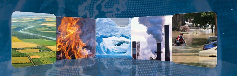
Disaster mapping
The Copernicus Emergency Management Service aims to reinforce Europe’s capacity to respond to emergency situations, be they caused by extreme weather, geophysical hazards such as volcanoes, or events such as wildfires and humanitarian crises.
Wide swath Sentinel-2 data can support the buildup and frequent update of globally consistent background reference maps to be used for impact assessments. It will also contribute monitoring land-use change that triggers erosion, forest and wildfires, and the onset of floods.
The mission’s fast data dissemination also plays a key role, delivering imagery within a few hours of acquisition.
During humanitarian crises, Sentinel-2’s imagery can help identify suitable locations for large refugee camps, and be used to monitor these camps and assist humanitarian operations.
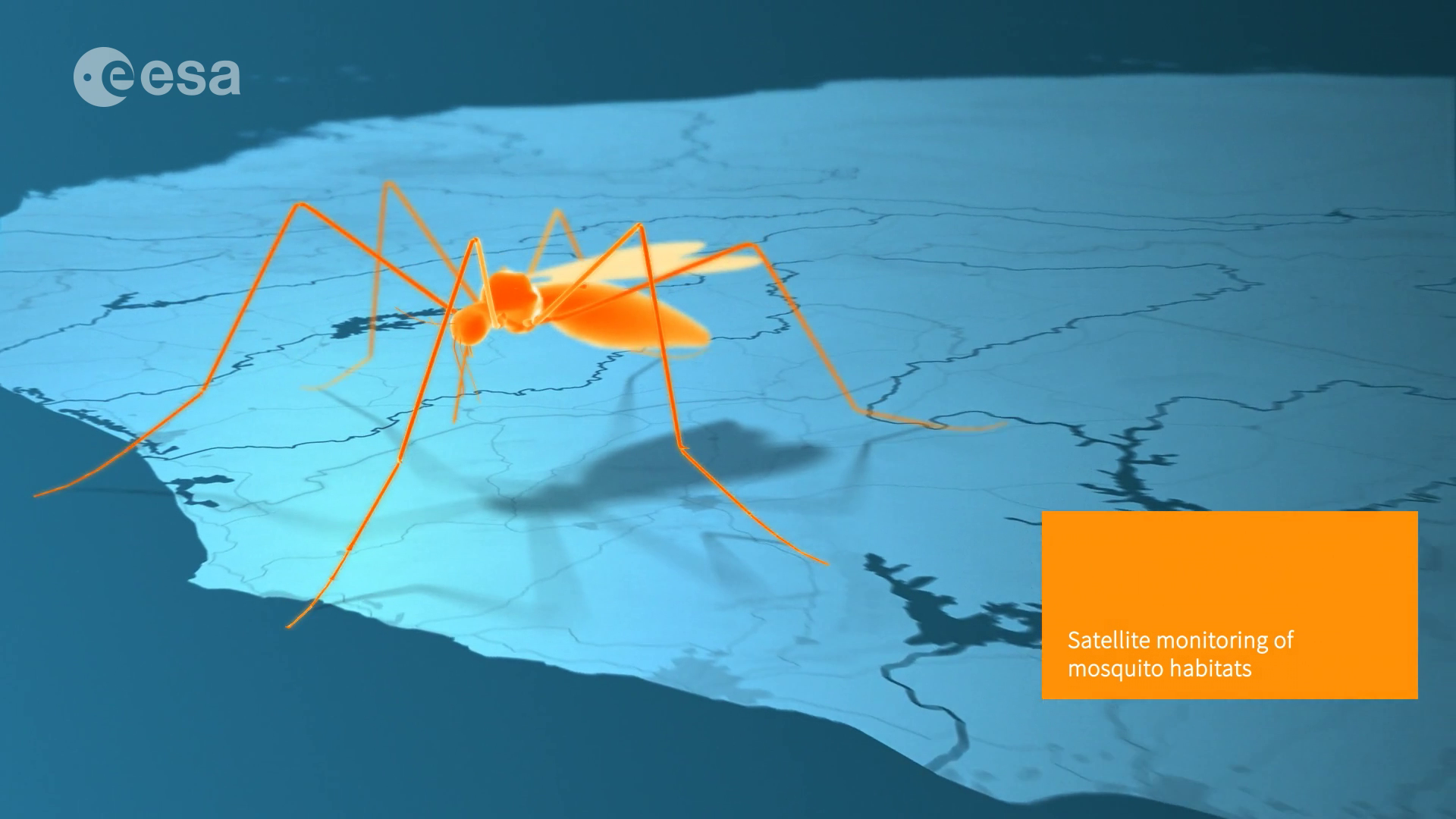
Combining information on vegetation, the location of water bodies and other variables, the mission can also assist in monitoring the prevalence and spread of malaria, and the prediction of disease outbreaks.