
Terrafirma workshop highlights ground motion hazards
ESA's GMES project Terrafirma aims to form a pan-European ground motion hazard information service to support geological experts, civil protection agencies and coastal, rail and motorway authorities in the process of risk assessment and mitigation.
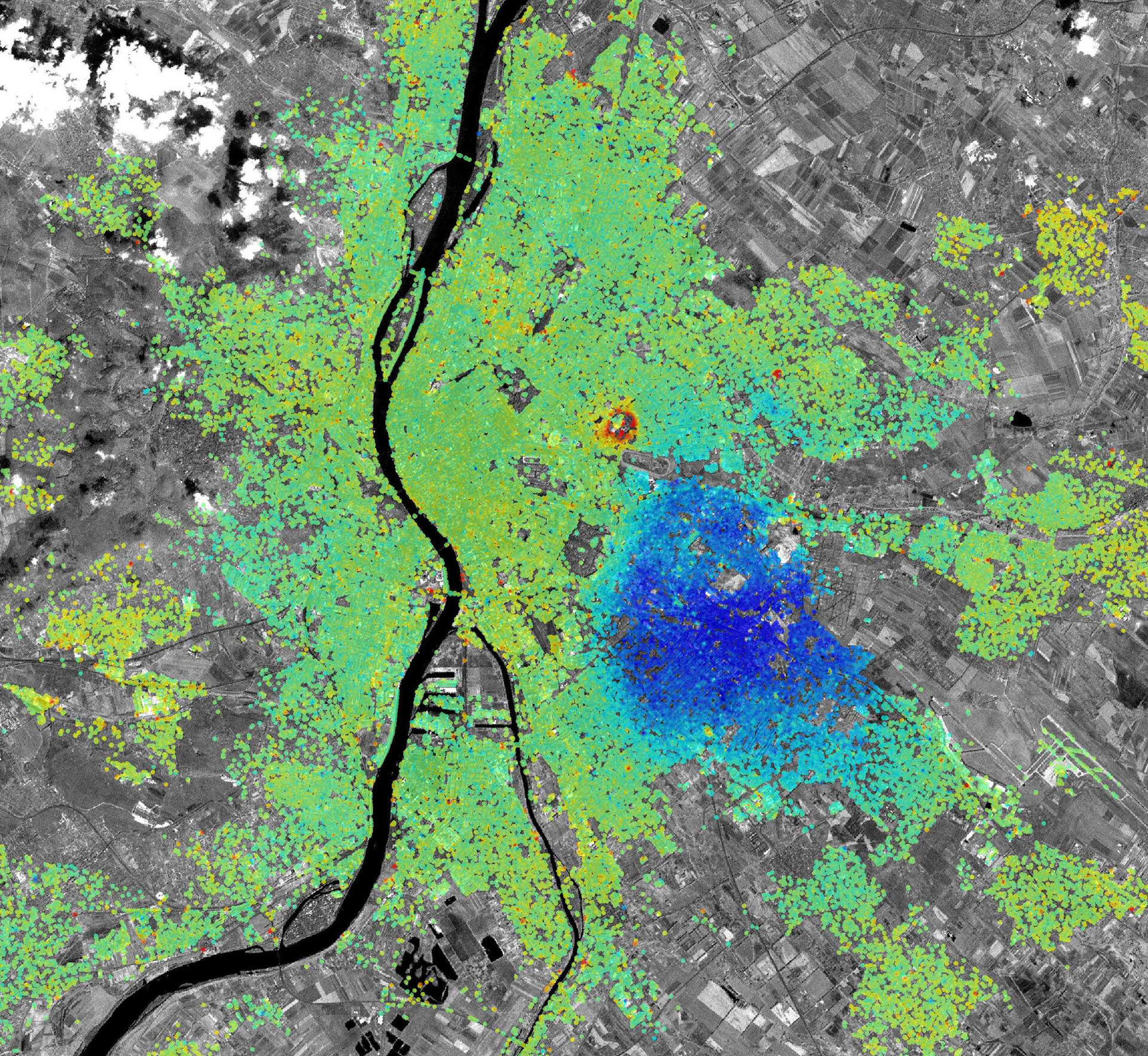
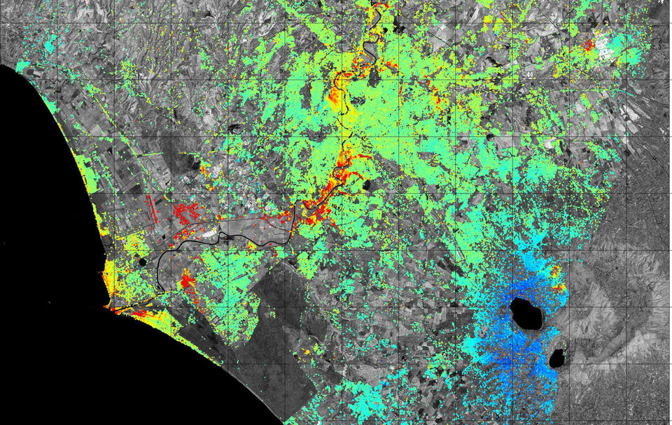
This past and final year of the project, Terrafirma has developed specific products for the following themes: flood, tectonics and hydrogeology (groundwater, abandoned/inactive mines, and landslides).
Scientists working with Terrafirma and its applications will meet next week to present their results at the 6th Terrafirma User workshop.
The aim is to bring scientists together with users and researchers to share information about the project’s applications and ground movement monitoring techniques that are emerging from this state-of-the-art satellite technology.
The workshop, being held at ESA’s Centre for Earth observation (ESRIN) in Frascati, Italy, 1-2 December, also includes a day of training.
The training will provide hands-on instruction on the practical application of Terrafirma products using Persistent Scatterer Interferometry (PSI) datasets from hydrogeology and tectonic case studies.
Workshop participants and organisations interested in accessing existing Terrafirma PSI datasets now have the opportunity to do so; a selection of over 50 datasets covering a variety of European cities and geohazard sites are now available, and new sites will become available in the next two years.
For further information please contact Marie-Josée Banwell at marie-josee.banwell@altamira-information.com.

