Developing agriculture from the sky
From 800 km high, Earth-observing satellites are assisting international development organisations with their work in developing countries. Satellites enable objective observations of the status of remote rural areas consistently over space and time.
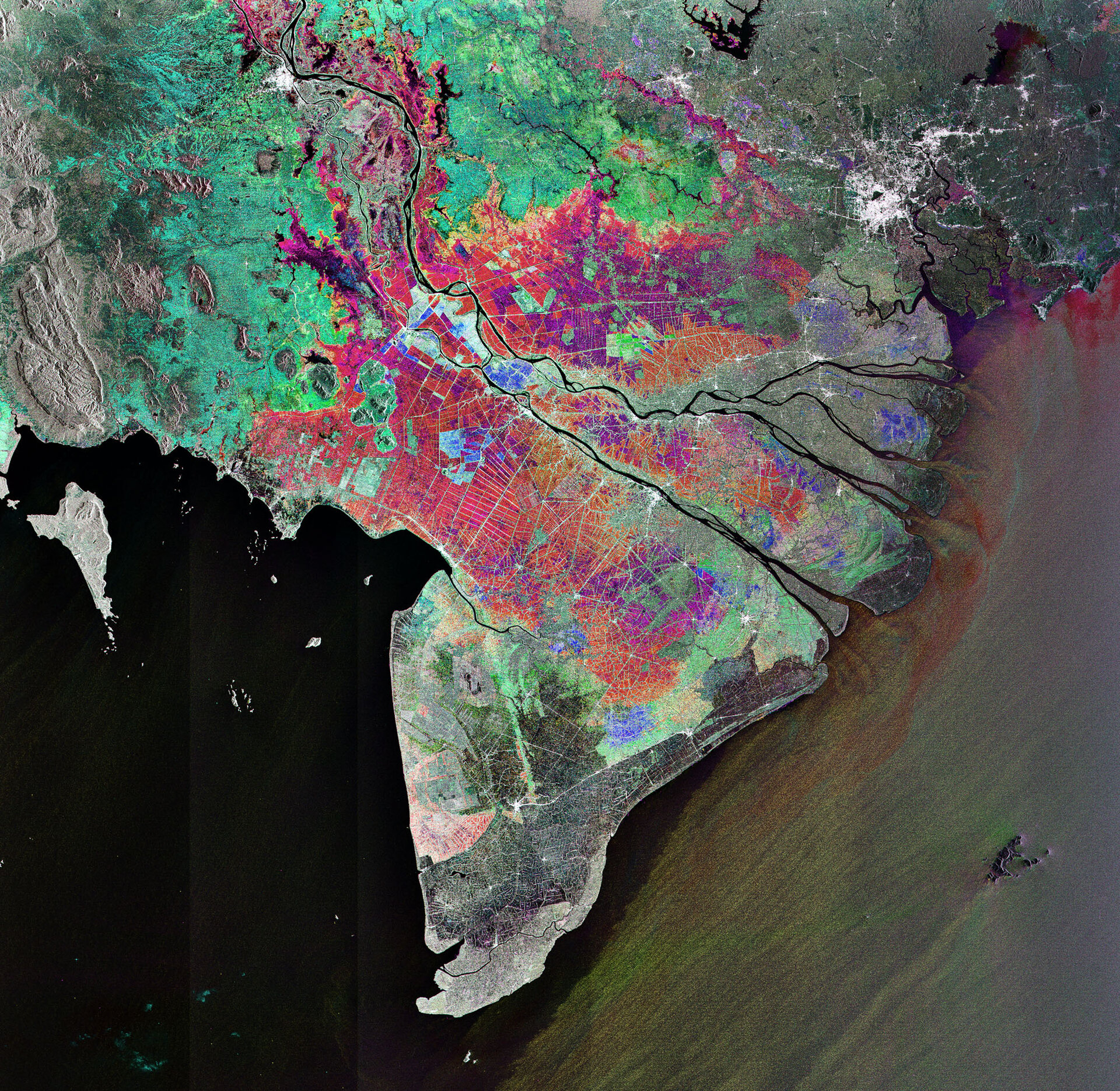
The Mekong Delta in Vietnam is one of the world’s richest agricultural regions and due to the amount of rice produced there it is often referred to as Vietnam’s ‘rice bowl’. The crop feeds the rest of the country and produces enough to make Vietnam one of the world’s top rice exporters.
But the local agriculture – and, as a consequence, the nation’s economy – is threatened by sea level rise and the subsequent influx of salt water.
In order to identify long-term changes in rice cultivated areas and evaluate the effect of salinity intrusion on these areas, satellite data are being used to create land use and land cover maps for statistical analysis.
This is just one of five service trials within a collaborative project by ESA and the UN International Fund for Agricultural Development (IFAD), which finances agricultural development projects primarily for food production in the developing countries.
The other ESA–IFAD projects include land use, land cover and crop monitoring in Niger, Gambia, Botswana and São Tomé and Príncipe. Specialised European Earth observation service providers are also involved, including Deimos Engenharia (PT), Finnish Geodetic Institute (FI), GAF AG (DE), Geoville (AT) and Sarmap (CH).
The collaboration aims to raise awareness within IFAD about how Earth observation technology can be customised to IFAD activities around the globe. This includes assisting in establishing country strategy plans, assessing food security, managing water and adapting to climate change.
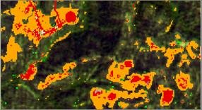
On the African island nation of São Tomé and Príncipe, the biologically diverse rainforest in Obo National Park is under threat from illegal logging. To support IFAD and the local government’s monitoring of logging activities and deforestation, yearly maps of forest cover, types, clear cuts and deforestation are being produced. This service trial supports the overall IFAD project aim to implement more efficient practices in the rural sector.
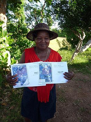
The five ESA–IFAD service trials follow the success of three pilot trials on rice acreage, inundation areas and land parcels in Madagascar.
“IFAD’s partnership with ESA is timely and relevant since IFAD is focusing on using multi-layered tools and approaches to enhance the analysis, planning, monitoring and evaluation of its investment operations, as well as providing better information to guide decision and policymaking processes,” said Ides de Willebois, Director of IFAD’s West and Central Africa Division.
“As one of the outcomes from these five pilot countries, IFAD expects to have a broader understanding of the added value of using Earth observations services during the various stages of investment operations in measuring project performance to scale up the fight against rural poverty,” he continued.
Looking to the future, the upcoming Sentinel series of satellites being developed under Europe’s Global Monitoring for Environment and Security (GMES) programme will continue to provide operational data to organisations like IFAD.
The Sentinel-2 mission will provide complete coverage of Earth every five days and at a resolution of 10 m. This will be particularly useful for agricultural monitoring and change detection.