ESA's SMOS water mission celebrates first year in orbit
A year ago today, ESA's SMOS satellite was launched to improve our knowledge of the water cycle. We are now not only closer to understanding more about Earth, but the novel technology employed by SMOS is clearly demonstrating a new way of monitoring Earth from space.
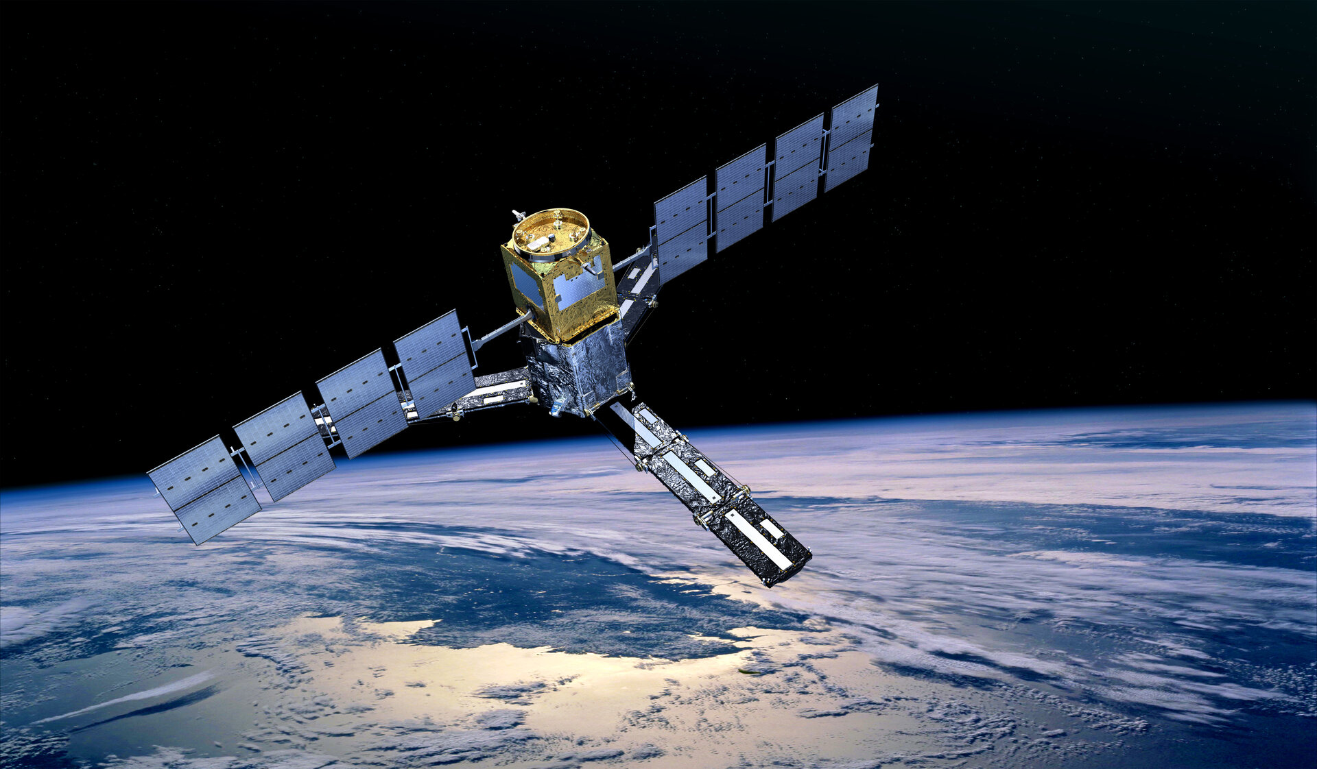
The Earth Explorer Soil Moisture and Ocean Salinity (SMOS) satellite was lofted into space in the early hours of 2 November 2009 from the Plesetsk Cosmodrome in northern Russia.
The next six months were spent commissioning the mission. This included calibrating the instrument to ensure that the science community receives the best-possible data on soil moisture and ocean salinity. With everything in good working order, the mission formally began operations at the end of May.

Despite some problems caused by interference from radar, TV and radio transmissions, which are gradually being turned off, the mission is now delivering a wealth of data on soil moisture and sea-surface salinity.
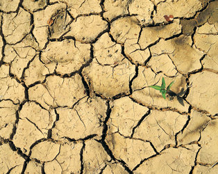
Speaking about soil moisture data, Yann Kerr from the Centre d'Etudes Spatials de la Biosphere said, "From monitoring drought and floods down to the soil conditions that lead to locust hatching, SMOS is fulfilling all our expectations and more. Further availability of the data will open up new research areas, paving the way to new successes."

Jordi Font from the Institut de Ciències del Mar at the Spanish Research Council added, "It has been a really exciting 12 months. With the excellent performance of the SMOS instrument we now have the challenge of improving the models and processes to provide more accurate data for sea-surface salinity.
"Nevertheless, I am convinced that SMOS will mark a milestone in the history of ocean remote-sensing."
Although there is still work to be done on refining the processing for sea-surface salinity, the first global map combining both soil moisture and ocean salinity data has recently been produced.
Nicolas Reul from Ifremer said, "One year after launch the ocean salinity data are very promising. However, we still have a little way to go to filter and understand the signals in order to reach the measurement goal of 0.1–0.2 practical salinity units."

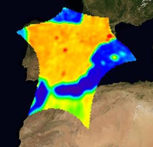
SMOS carries an innovative interferometic radiometer that operates in the L-band microwave range to capture images of 'brightness temperature' which are used to produce global maps of soil moisture and ocean salinity.
By consistently mapping these two variables, SMOS will not only advance our understanding of the exchange processes between Earth's surface and atmosphere, but will also help to improve weather and climate models.
Patricia de Rosnay from the European Centre for Medium-Range Weather Forecasts (ECMWF) commented, "So far, SMOS has been providing an enormous amount of data and information on land and ocean surfaces. Integrating these observations in ECMWF's Integrated Forecasting System has been challenging, but will eventually increase our understanding of land-surface processes and is expected to result in better weather forecasts."
As scientists and engineers celebrate the mission's achievements over the past 12 months they also look to the future, assured that the coming months will bring more success. Happy first birthday SMOS!