Earthquakes
Earthquakes strike some areas of the globe every year. Some are relatively minor and pass almost unobserved, while others can cause hundreds, if not thousands of deaths, as well as immense damage to buildings and infrastructure.
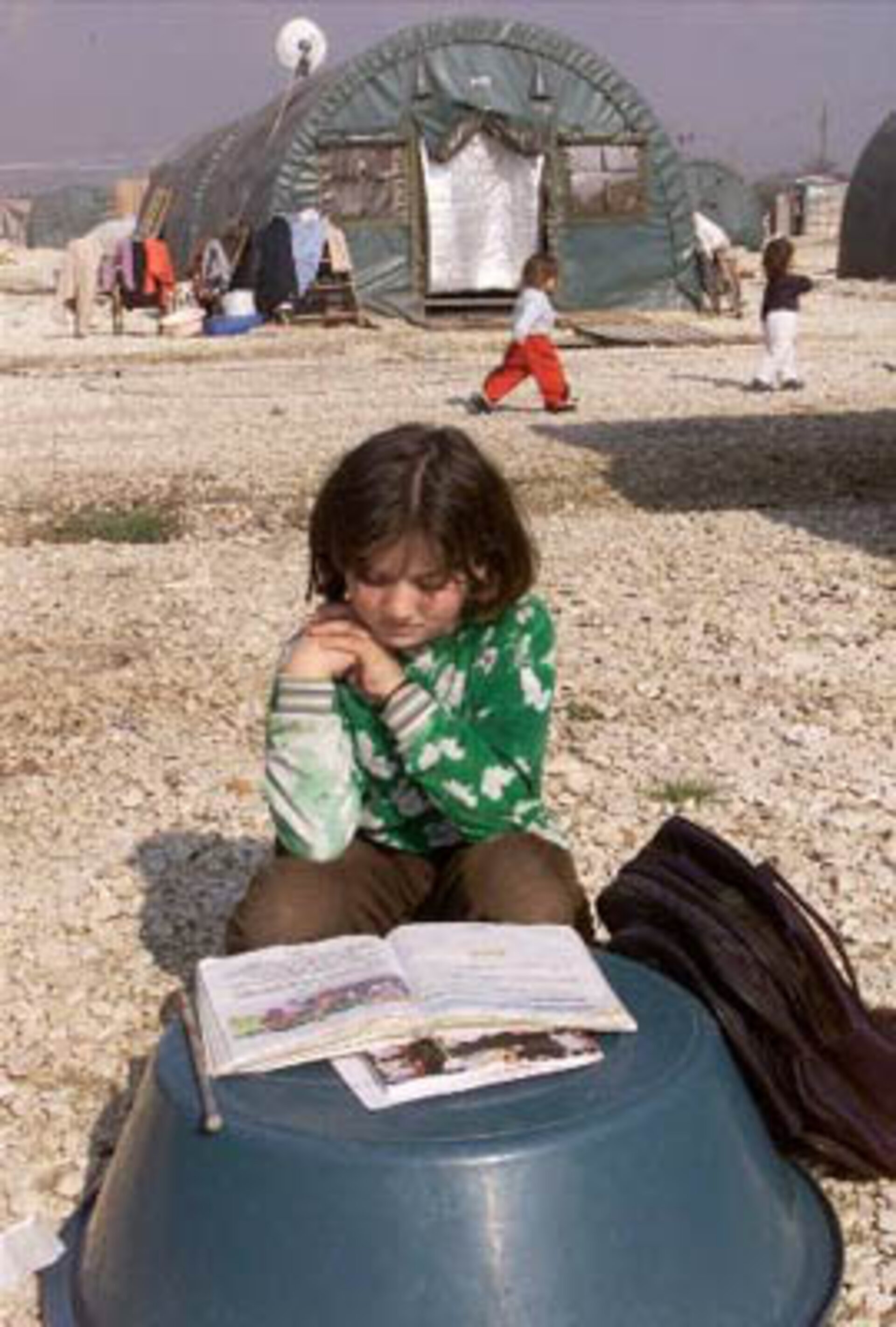
One October 2001 earthquake in western Turkey killed nearly 50 people; fortunately far less than the two devastating earthquakes in 1999 which caused almost 20 000 deaths, left even more homeless, and resulted in immense and expensive damage to infrastructure.
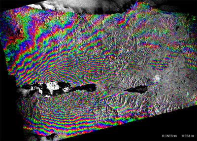
Scientists are still battling to find ways of assessing seismic risks in order to better understand earthquakes and to contribute to risk mitigation. Envisat can provide precise information to help them in their task. The technique of interferometry, using Envisat's ASAR instrument, makes it possible to measure the dislocation caused by an earthquake and to show the movement of the terrain. All this information can improve understanding of earthquake patterns and assist scientist in the search to find reliable methods of predicting them.
Sometimes the after effects of an earthquake can be more devastating than the quake itself, which may last for just a few seconds. Earthquake victims have to be rehoused; buildings, roads and other infrastructure rebuilt; and industry and agriculture are disrupted. This places a heavy burden on governments, particularly in poorer countries.
Unfortunately these costs are on the increase, mainly due to population growth and building in areas that are at risk. For the same reason, although the number of earthquakes has not increased the number of potential victims is growing.
Envisat data are particularly useful immediately after an earthquake and a valuable tool for disaster management teams. Geo information from Earth observation satellites allows them to monitor the extent of the immediate damage, as well as possible flooding or landslides in remote and inaccessible terrain. Within hours of a catastrophe the ASAR sensor can focus on a disaster area - whatever the weather or the time of day - and send back in near real time the valuable data that will help the rescue and rehabilitation teams.