
ESA satellite data reduce invasion of alien species
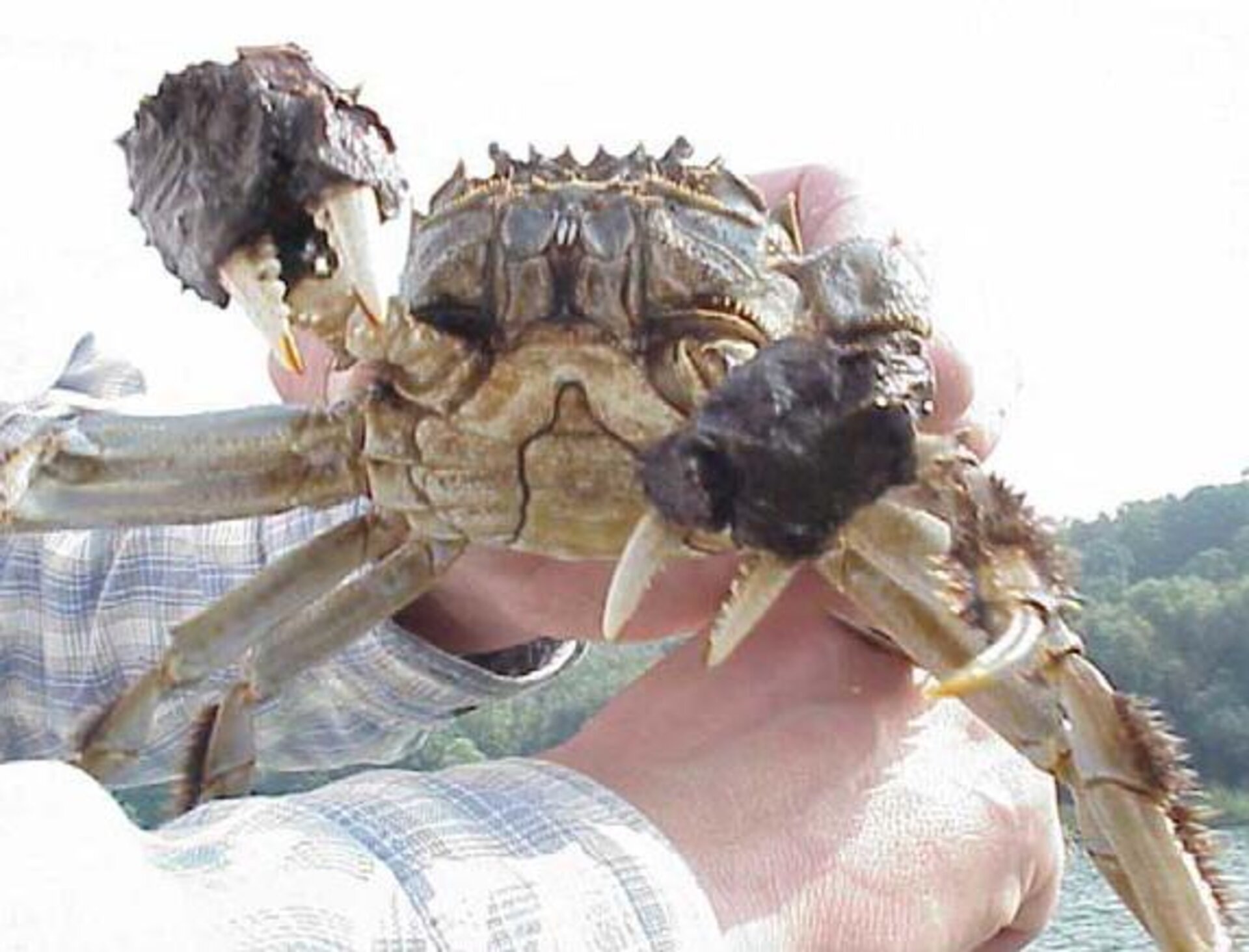
Every day, thousands of different organisms are carried far from their natural habitat in water used as ship ballast. To reduce the transfer of invasive aquatic species between ecosystems, satellites are being used to assess areas at risk from ballast water exchange.
While plants and animals have always clung to the outside of ships' hulls, the problem of marine invasions has dramatically increased since the widespread introduction of water-tight hulls in the 19th century.
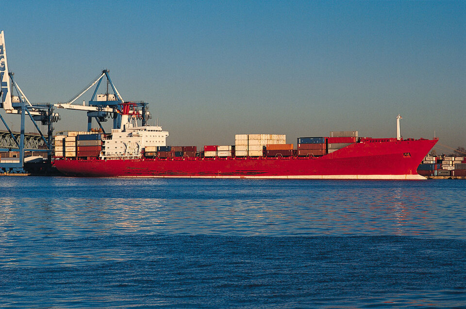
It is estimated that around five billion tonnes of water, carrying a multitude of micro-organisms, eggs, larvae and larger organisms, are now transported annually as ballast.
The intrusion of harmful aquatic species and pathogens through ballast water ranks one of the highest risks to the marine environment, especially in coastal waters.
Responding to this issue, the International Maritime Organisation (IMO) formulated the ‘International Convention for the Control and Management of Ships' Ballast Water and Sediments’ to prevent the potentially devastating effects. The convention, currently being ratified, is expected to take effect in 2013.
To support Germany's Federal Maritime and Hydrographic Agency (BSH), which is responsible for ballast water management in German waters, ESA is providing satellite data for a case study to estimate the risk to the environmental from ballast water.
ESA's Data User Element Innovators II Ballast Water project supports BSH and the decision processes involved for ballast-water management in the North Sea and Baltic Sea prior to the ratification of the IMO convention.

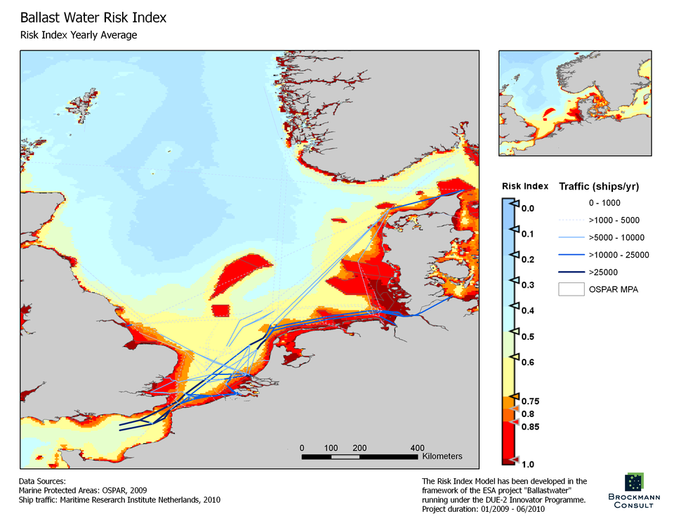
The project includes the provision of two types of products: the Ballast Water Risk Index and the Average Risk Index.
'Risk' means the chances of survival for an alien species released into the sea from ballast water. A model to calculate the risk was developed in close cooperation with BSH following recommendations from the IMO.
The risk indexes are calculated from a number of different marine data, such as sea-surface temperature, ocean colour and water transparency, acquired largely by ESA's Envisat mission.
The ocean colour products, provided by the optical MERIS sensor, for example, are used for the assessment of algae. It is assumed that areas with high chlorophyll concentrations provide a good food supply for introduced species, while in clearer waters the survival of a species is less likely.
Thermal-infrared scanners also provide data on sea-surface temperature to assess the similarities between source and destination habitats.
These data are proving an invaluable source for mapping regions where ships should or should not exchange their water ballast. It is proposed that a dedicated website integrates these data into a water quality service system to provide near-realtime information on the degree of risk to the marine environment.

The Interreg North Sea Ballast Opportunity Project is also using the results in their discussions on future strategies for water ballast.
Kai Trümpler, from BSH and the Interreg project said, "ESA is providing the basis for international discussion in the North Sea region for finding exemption zones. They will be of immediate practical value and have an impact on ballast water management regulations in this area.”
A workshop will be held on 25 January in Hamburg, Germany, where decision-makers and shipping companies will meet to discuss the aim of expanding the tool for use throughout Europe and possibly North America.
