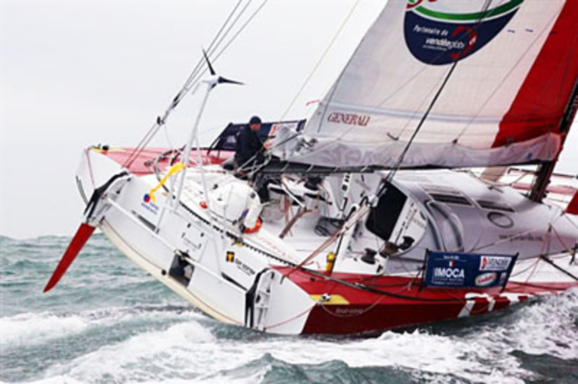
Vendee Globe route seen from above
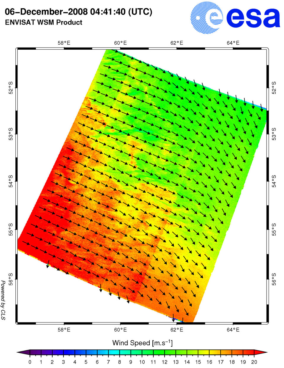
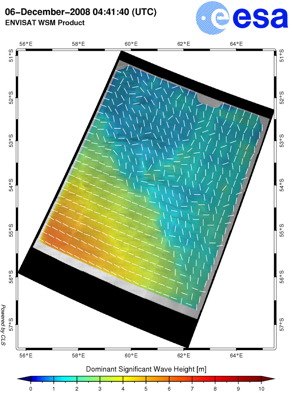
Wind and wave data from ESA’s Envisat satellite radar are being used to observe meteorological conditions in the track of the Vendee Globe solo round-the-world yacht race.
CLS, a subsidiary of the French Space Agency (CNES), acting through its new radar applications division (formerly the BOOST Technologies Company), is using the race to demonstrate the ability of Envisat radar imagery to operationally observe oceans at high resolution.
Based on the trajectory and speed of the boats, CLS is acquiring data over the area skippers will be sailing into slightly ahead of their arrival time in order to monitor the metocean conditions.
Although skippers are forbidden to receive outside assistance in the Vendee Globe race, these data will be helpful for skippers planning optimal routes in races where new types of meteorological information will be allowed.
"These innovative techniques providing wind and wave information at unprecedented resolution will certainly be directly transmitted to sailors in other races in the future to help them determine the most appropriate route in challenging regions of fast-changing metocean conditions such as the Canary Islands or the Saint Helene high pressure system," said Dr Fabrice Collard of France's CLS radar application division in Brest.
These wind and wave product demonstrations, originally tested over Europe, are part of an ESA research project on innovative retrieval techniques. The development and processing techniques are being extended to Envisat Advanced Synthetic Aperture Radar (ASAR) data acquired along the Vendee Globe route.
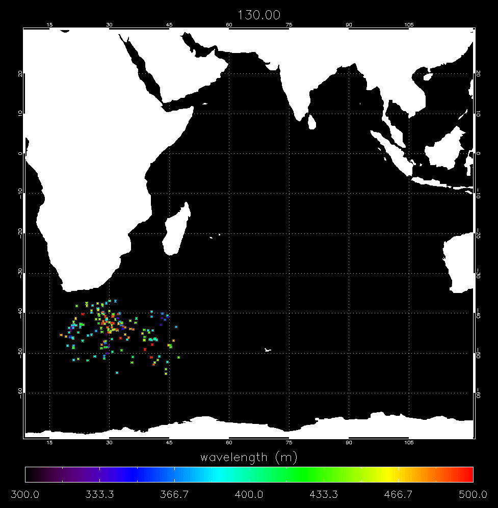
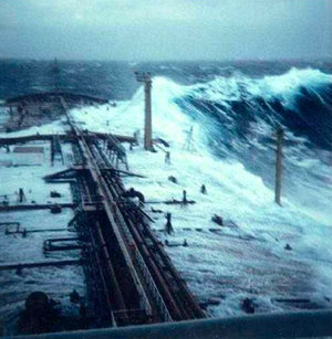
The Vendee Globe takes sailors through severe wind and wave conditions in the Southern Ocean, which is also home to many icebergs. The data used in this test was originally acquired for the purpose of iceberg detection.
The long swells and high winds typical of the Southern Ocean have been clearly identified with a high-resolution variability that may provide new insight for the understanding of complex and remote seas.
As part of the Global Monitoring for Environment and Security (GMES), a joint initiative of the European Commission and ESA, ESA has undertaken the development of Sentinel-1 for the continuation of SAR operational applications.
Dr Vincent Kerbaol, head of the radar application division of CLS said: "This ESA and CLS research demonstration using Envisat data provides an excellent taste of the wind and wave products that will be delivered operationally to the GMES services using the next generation SAR onboard ESA’s Sentinel-1 satellite to enhance the maritime safety and awareness."
Press conference
A joint ESA, CLS and CNES press conference will be held at 10:00 on 16 December 2008 at the Vendee Globe headquarters (33, avenue du Maine, 75015) in Paris where they will present the principles of iceberg detection using Envisat ASAR data.