About GRAS
GRAS (Global Navigation Satellite System Receiver for Atmospheric Sounding) is a new European GNSS (Global Navigation Satellite System) receiver that operates as an atmospheric sounder. It will provide unprecedented observations of atmospheric temperature and humidity to improve weather forecasting and climate change monitoring.
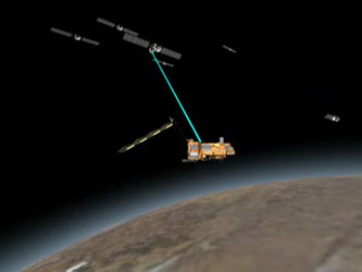
GRAS uses radio occultation to measure vertical profiles of atmospheric temperature and humidity by tracking signals received from a constellation of GPS navigation satellites while they are setting or rising behind the Earth's atmosphere. Radio occultation is based on the fact that when radio waves pass through the atmosphere, either during a rise event or during a set event as seen by the receiver, they are refracted along the atmospheric path. The degree of refraction depends on gradients of air density, which in turn depend on temperature and water vapour. Therefore, measurement of the refracted angle contains information about these atmospheric variables.
As the measurements are made tangentially to the atmosphere, the profiles will be provided with a resolution within a few hundred metres to 1.5 kilometres, while horizontal coverage of each profile is in the order of a few hundred kilometres. The GRAS instrument will provide 500 very precise atmospheric profiles per day, which will be fed into Numerical Weather Prediction (NWP) models to improve the accuracy of weather forecasts. At the same time, due to the very good stability of the instrument, GRAS measurements will contribute to monitoring climate change.

GRAS can track up to eight satellites for navigation purposes, two additional satellites for rise and two others for set occultation measurements. GRAS has on-board GPS satellite prediction for optimising the navigation and occultation measurements.
The Doppler shift in the received signals can be processed to obtain vertical profiles (at least from 1 km to 30 km) of atmospheric parameters such as temperature and pressure with a high degree of accuracy. In the stratosphere and upper troposphere, where water vapour density is low, refraction is dominated by the vertical temperature gradients, and an accurate temperature profile can be retrieved. In the lower troposphere, the water vapour effects are dominant and the combined temperature/water vapour profile can be retrieved. Measurement data from GRAS will be combined with data received in GPS ground based receivers (providing Precise Orbit Determination) to retrieve the final atmospheric profiles.
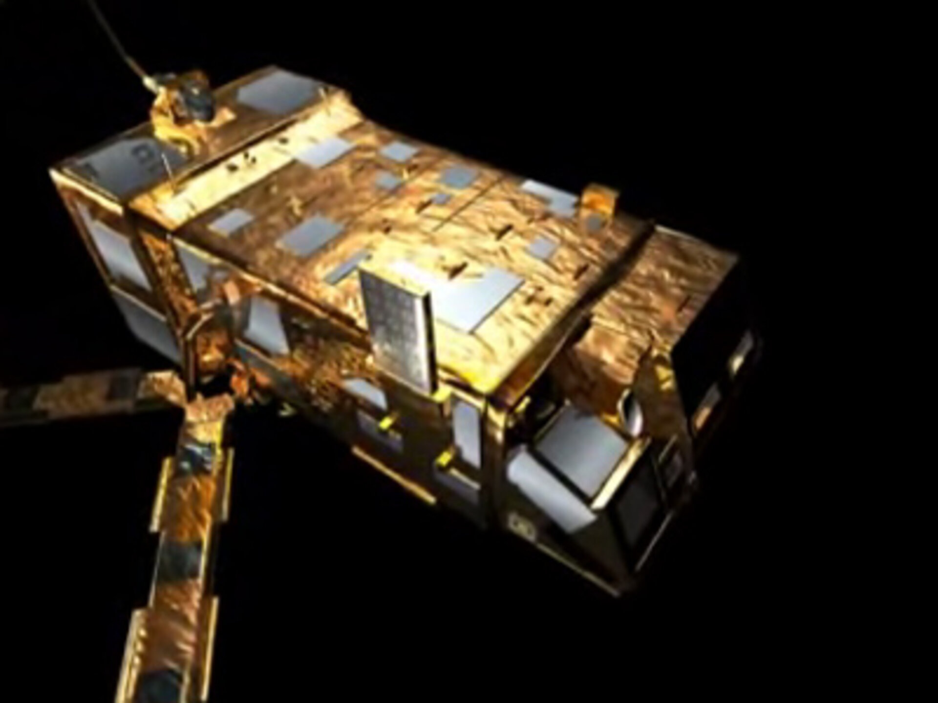
The Gras instrument has been developed by the instrument Prime Contractor Saab Ericsson Space in Sweden, supported by Austrian Aerospace (A), Sener (E) and GMV (E) under contract to ESA/EUMETSAT. GRAS will fly on MetOp-A, -B and -C.