
MSG: the countdown begins to a new era in European weather forecasting
A new generation of more sophisticated weather satellites that will produce more precise data in a shorter time than its predecessors is poised for its first launch. Meteosat Second Generation (MSG) will bring big changes to the way we observe the weather.
Since the Meteosat satellite system was developed in the early 1970s, it has achieved much more than ever imagined. For 25 years, Meteosat satellites have provided images of the Earth every half-hour, day and night, in three spectral channels - around 1.5 million in all. In-orbit standby satellites have also provided data for experiments such as monitoring the Indian Ocean and rapid scanning of the Alpine region.

The advanced MSG satellite is part of a meteorological geostationary satellite programme designed to primarily serve the needs of operational meteorological and climate monitoring user communities. It will pinpoint extreme weather events so forecasters can predict, for example, hurricanes and severe storms with far greater certainty.
A series of three MSG satellites will provide more comprehensive and frequent data to meteorologists and climate monitoring scientists for at least the next 12 years. A fourth MSG satellite is foreseen to extend the service even longer. MSG will bring about a step change in the outcome of weather forecasting systems with benefits for the people of Europe and further afield.
The satellites are being developed through the combined expertise of the European Space Agency (ESA) and the European Organisation for the Exploitation of Meteorological Satellites (EUMETSAT). With a thorough understanding of users needs, EUMETSAT is making a major investment of €1.3 billion in the total programme over 12 years, including development of the ground segment, procurement of the launchers and follow-on satellites and operation of the MSG system from its Mission Control Centre in Darmstadt, Germany.
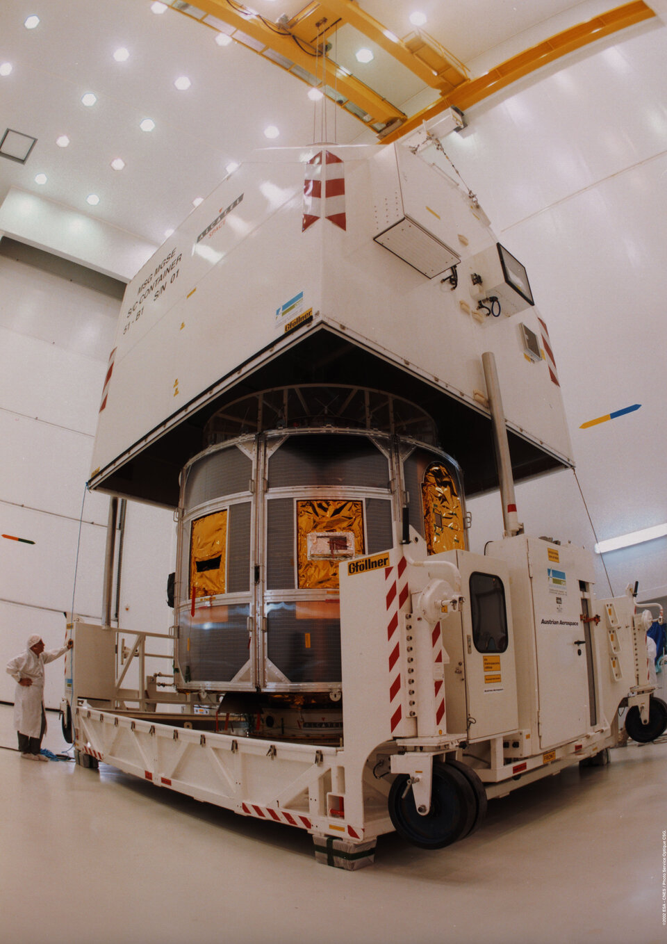
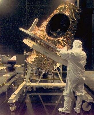
With 30 years of planning, project management and innovation in space systems and first-hand experience from the first generation of Meteosat, ESA was ideally placed to develop the MSG satellites. It is contributing €378 million of the total initial investment to the first satellite in the range, the remaining one-third coming from EUMETSAT. The satellites are built by Alcatel Space Industries, involving more than 50 subcontractors from 13 European countries.
Satellites for the 21st century

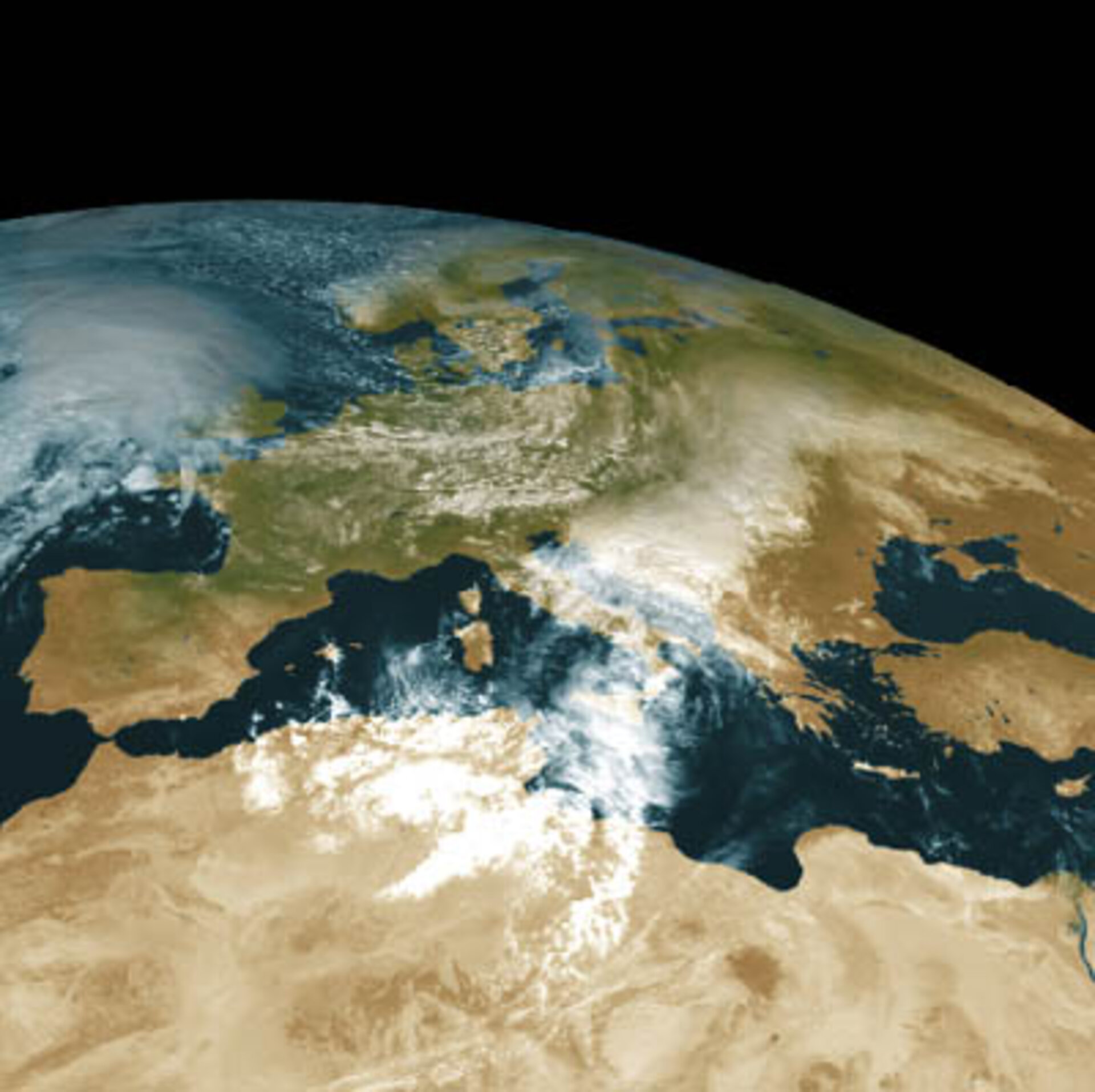
Geostationary meteorological satellites deliver regular, frequent and high quality images of one quarter of the Earth's disc. In this orbit, a satellite circles the Earth at the same speed as the planet rotates, and therefore appears to "hover" in one place - in the case of MSG above the Gulf of Guinea at 0 degrees Longitude off the west coast of Africa. From this orbital position it provides images of Europe, Africa, part of the Indian Ocean and the Atlantic Ocean.
The latter region is particularly important because it is the development area for most of the weather systems affecting Europe. The geostationary satellite continuously scans the same quarter of the globe, showing the development and progression of weather systems in moving sequences.
According to independent research from Bramhill Consulting (UK), the current Meteosat system contributed in the 1980s to dramatic improvements in weather forecasting with three-day forecasts becoming as accurate as one-day predictions of the previous decade. Building on the success of these earlier satellites and 25 years of valuable European experience, MSG will bring further improvements.
Planned for launch in Summer 2002, MSG will transmit more than 20 times the information of its predecessor. With a spatial resolution of 1 km in the visible spectrum (instead of 2.5 km currently), it will beam down sharper images of the changing weather over an area including Europe, all of Africa, and some parts of Asia every 15 minutes, rather than 30 minutes. It will help to monitor developing weather systems over areas of sparse information, such as oceans, before they cause havoc inland. With its 12 channels (the current Meteosat has three) it will provide meteorologists with new insights into the atmosphere, land and ocean surfaces. The improved resolution and frequency of data will significantly contribute to the accuracy of both short-term and medium-range weather forecasts.
In order to ensure continuous service over the next 12 years, two more satellites will follow MSG-1, guaranteeing a full operational service with a back-up satellite in orbit at all times. MSG-2 will be launched about 18 months after the commissioning of the first satellite, while MSG-3 will be stored until MSG-1 nears the end of its life. From the time of the MSG-2 launch there will be two satellites in orbit, one operational at 0 degrees Longitude and the other on standby. A fourth MSG satellite of exactly the same design as the three predecessors is foreseen to ensure complete continuity until the end of the next decade.
Satellite control and data management
To provide an uninterrupted service ensuring that data from MSG satellites in geostationary orbit reach the user communities, including national meteorological services, environment experts, commercial users and rescue organisations, EUMETSAT is developing a new ground processing and satellite control system. This will include networked elements distributed throughout Europe. The satellites will be managed from the EUMETSAT control centre in Darmstadt, Germany. This centre will process the raw data and retransmit it to the users via the communication system on board the MSG satellites. Meteorological information such as atmospheric winds, sea surface temperatures and atmospheric humidity will be deduced from the data and transmitted to users in addition to cloud imagery.
A network of processing centres known as Satellite Application Facilities, distributed throughout Europe, will provide specialised data products to the user communities. There are currently seven such centres under development for the provision of information on areas including:
- Support to 'nowcasting' - the prediction of weather conditions over the next three hours on a horizontal scale of tens to hundreds of kilometres and very short-range weather forecasting
- Ocean and sea ice
- Ozone monitoring
- Numerical weather prediction
- Climate monitoring
- GRAS meteorology – for Global Navigation Satellite System Receiver for Atmospheric Sounding - the GRAS centre will use polar orbiting satellite data
- Land surface analysis
Impact for all European residents
A sudden drenching, or a delayed journey in fog, are common. Weather forecasters are unable to prevent these sudden changes, but they can warn us about them. MSG data will greatly enhance the accuracy of their predictions. It will help forecasters predict rapidly-changing phenomena such as thunderstorms and other types of severe weather.
There will be other, perhaps even life-saving or economic, improvements resulting from better forecasts. Airports can look forward and plan for impending fog, snowfall or hazardous winds. Better tracking of atmospheric dust clouds from erupting volcanoes will improve air safety. Local authorities will know with greater precision when to grit roads before a cold snap. Farmers, construction companies and others can plan ahead more accurately and hikers will be able to make "go/no-go" decisions with increased confidence.
Impact for weather forecasters
More precise and frequent data from MSG will help weather forecasters to produce even more reliable predictions. Firstly, the greater image frequency is vital because dangerous weather such as thunderstorms can develop extremely rapidly, so a snapshot at 15-minute intervals can build a more precise picture for the forecaster. The same applies to fog, snowfall and rapidly deepening depressions that bring hurricane-force winds. Secondly, improved optics and electronics will provide MSG with better resolution, leading to sharper images and more precision in the data. Currently, an object such as a cloud has to cover at least 2.5 x 2.5 km to be seen in visible light, but MSG can see one square km.
This is particularly important for providing more precise detail of cloud systems. And thirdly, the multi-spectral image data will lead to improved derived products such as winds at various levels in the atmosphere, important input to the complex mathematical super-computer models used by many forecasting centres.
Impact for scientists
Though pure research is not the primary aim, MSG provides some unique opportunities to support Earth sciences research. The Geostationary Earth Radiation Budget (GERB) instrument initiated by ESA with funding from national agencies in the UK, Belgium and Italy and carried on MSG, can measure the Earth radiation balance as it views the top of the atmosphere. The Earth's radiation budget is the balance between the radiation coming from the Sun and the outgoing reflected and scattered solar radiation plus thermal infrared emissions to space. For instance, the greenhouse effect due to biomass burning and the release of CO2 is believed to change the radiation budget of the Earth significantly, resulting in further global warming.
To ensure continuity of the observations, EUMETSAT is funding the provision of two further GERB instruments for MSG-2 and MSG-3.
