Forecasting the weather
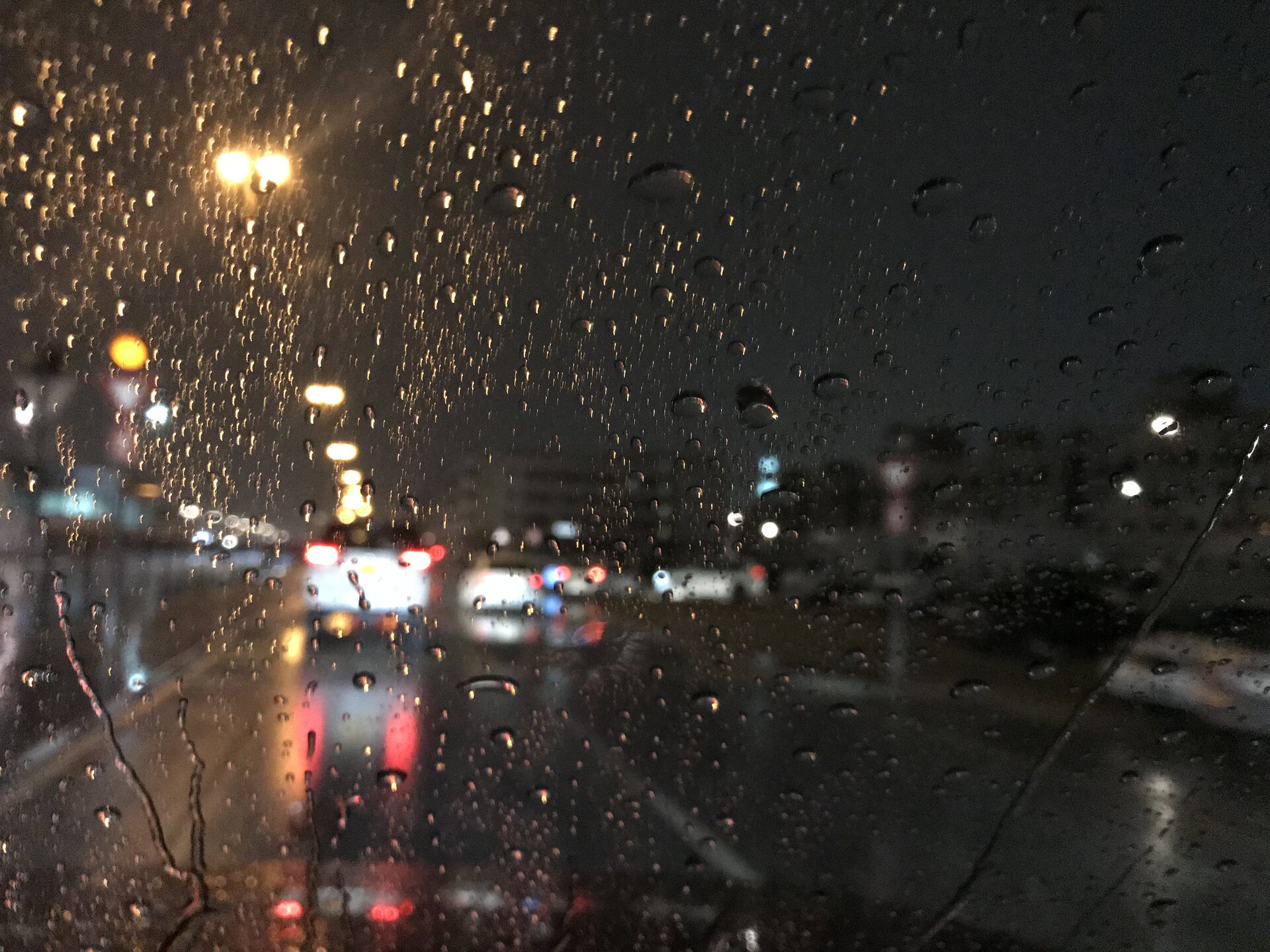
Forecasts are not only important for planning our day-to-day activities, but are also vital for numerous sectors such as transport, agriculture, commerce and industry. The economic and social benefits of accurate weather forecasts are huge; they allow time to prepare and make decisions, whether it be about gritting the roads, routeing air or marine traffic, irrigating crops or planning construction. In the extreme, knowing that hazardous weather is on the way can protect property and save lives. None of this would be possible without scientific knowledge of our planet, and satellites.
While weather forecasts are pretty reliable today, with so much at stake there is an ongoing effort not only to ensure that reliable data from satellites continues to be delivered for years to come, but also to improve forecasts even further.
Satellite instruments are very complex, often making many thousands of individual observations and requiring sophisticated techniques to interpret the information they contain. In addition, forecasts rely of data from satellites in two different types of orbit to offer complementary perspectives of Earth and evolving weather systems.
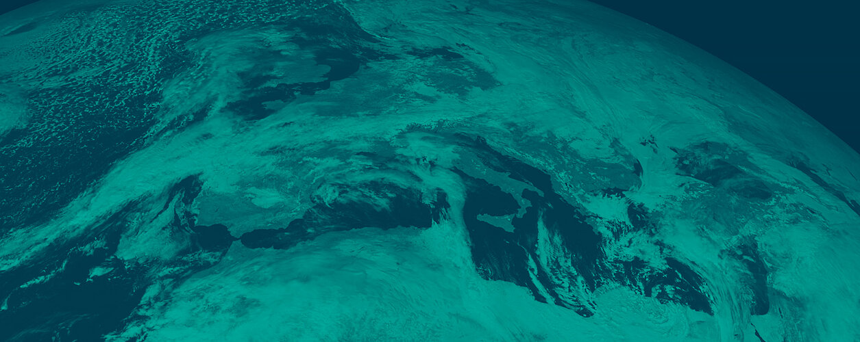
Satellites in geostationary orbit hover around 36 000 km above the equator, remaining stationary with respect to the rotating Earth and thus can record or transmit images of the entire hemisphere below continuously. Satellites in polar orbit fly around Earth from pole to pole at a much lower attitude of a few hundred kilometres above the surface.

The high-altitude geostationary orbit allows a large portion of Earth’s surface to be in constant view. The European Meteosat and the US NOAA GOES satellites are important examples of geostationary meteorological satellites constantly observing Europe and Africa, and the Americas, respectively. They provide important information on destructive weather phenomena such as continental-scale thunderstorm fronts and hurricanes.
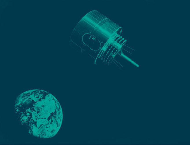
Satellites orbiting from pole to pole, however, collect data over the entire planet in a matter of days. MetOp and JPSS, the fleet of European and US weather satellites in this orbit, provide significant data for the weather forecasting systems.
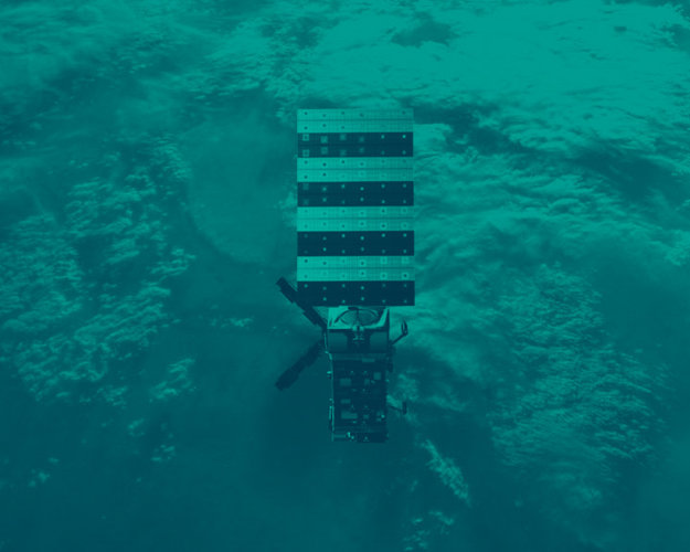
ESA has been building satellites for weather forecasting for more than four decades. The Meteosat series go back to 1977 and were designed to deliver data from geostationary orbit. The first MetOp, designed for polar orbit, was launched in 2006.
Building on the success of both series, ESA is now building the Meteosat Third Generation series to offer even better data for forecasters.
These two types of mission are realised through cooperation with Eumetsat.
Eumetsat operates Meteosat and MetOp missions with the purpose of supplying weather and climate-related satellite data, images and products – 24 hours a day, 365 days a year – to European national meteorological services other users worldwide.