
Norwegian Sea’s ups and downs
An anticlockwise rotation of sea-surface height patterns has been observed near Norway’s west coast. Archived data from radar altimeters on the ERS-1, ERS-2 and Envisat satellites show the wave-like motion around the centre of the Lofoten Basin.
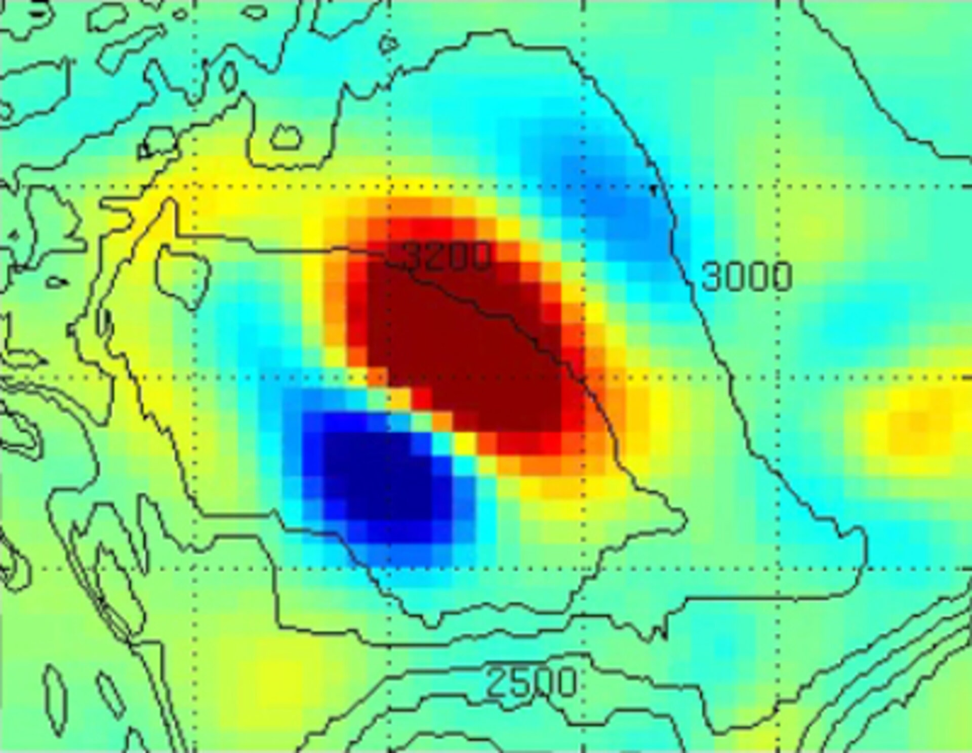
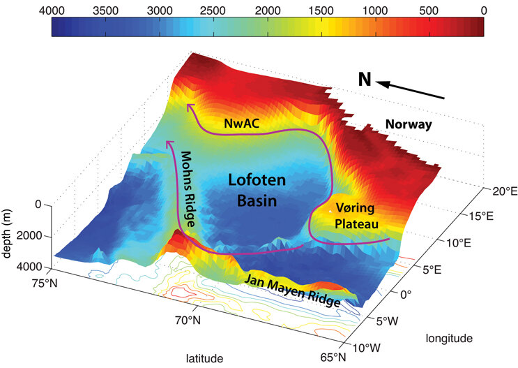
The Lofoten Basin is a topographic depression about 3500 m deep in the Norwegian Sea and plays an important role in sustaining global ocean circulation. It is a transit area for the warm and saline Atlantic Water on its way to the Arctic Ocean. Here, the inflowing Atlantic Water loses its heat to the atmosphere and mixes with surrounding water. This causes the water to become dense and sink, forming ‘deep water’ in adjacent regions – another important step in ocean circulation.
Using satellite data, scientists have observed topographic waves in the Lofoten Basin that are largely responsible for the amplification of sea-surface height variability in the area. The waves are approximately 10 cm high and propagate in an anticlockwise direction.
Most of the waves observed had a wavelength of about 500 km, and moved from two to eight km per day.
The waves could be affected by different disturbances like wind or the meandering of the Norwegian Atlantic Current.
It is likely that they can increase the mixing of water masses and even affect the low-frequency variability of local biological processes.


Access the video
All three ESA satellites used in the study carried radar altimeters – an instrument that can provide precise measurements of sea-surface height, as well as freshwater bodies, land and ice.
The ERS-1/2 and Envisat measurements enabled the provision of sea-surface height with an accuracy of a few centimetres from their orbits around 800 km above Earth.
“The next step in our study will be to investigate the factors that may affect the amplitude of the observed topographic waves,” said Denis Volkov, an oceanographer from the University of California Los Angeles.
“We will investigate the sensitivity of the waves to the variability of the nearby Norwegian Atlantic Current and to wind forcing.”
The findings were recently presented at the ‘20 Years of Progress in Radar Altimetry’ symposium in Venice, Italy.


