ESA title
Combined ERS-2 radar and Landsat TM image
Applications

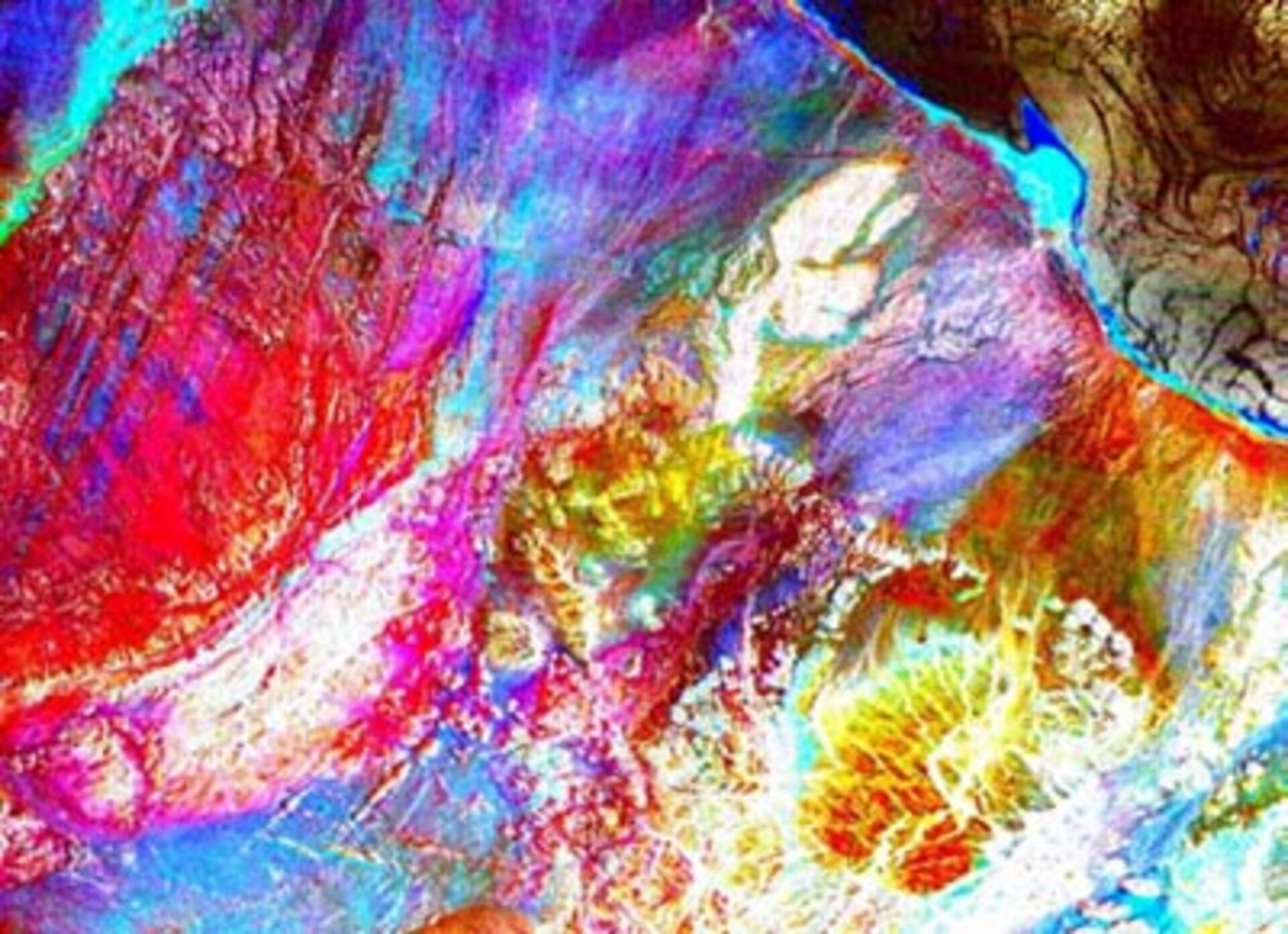
POLinSAR: A 3D view of the Earth

10/02/2003 394 views 0 likes
ESA / Applications / Observing the Earth

An advanced technique for analysing radar images shows tremendous promise for scientists studying forests, agriculture, ice and other terrain types, but experts at a recent ESA workshop cautioned that research work is needed before practical applications can be developed.

DEM of the Italian coast near Camerota

XXX

POLinSAR session
POLinSAR session

XXX

Discussions during the workshop

XXX

POLinSAR poster session

XXX

Skriver
Skriver

XXX

Related Links