Going hyperspectral
After several decades of research and development into hyperspectral imaging, which greatly enhances our ability to characterise the state of Earth, the technique has been embraced by the Earth-observation community and has entered the mainstream of remote sensing.
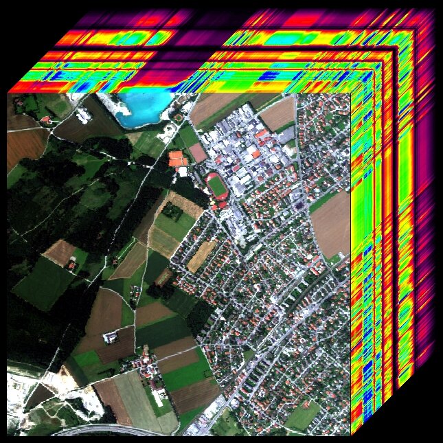
The idea behind hyperspectral imaging, also known as imaging spectroscopy, is simple. In the 1970s, multispectral remote sensors produced images with relatively few broad wavelength bands that allowed us to understand our environment better. If acquiring images in just a few spectral bands afforded this, wouldn’t a few hundred narrow spectral bands offer even more?
This thinking led to the birth of hyperspectral imaging in the early 1980s with the Airborne Visible-Infra Red Imaging Spectrometer (AVIRIS) developed at the NASA Jet Propulsion Laboratory in California. Before AVIRIS, technological limitations prevented spectrometers from being used on moving platforms.
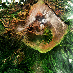
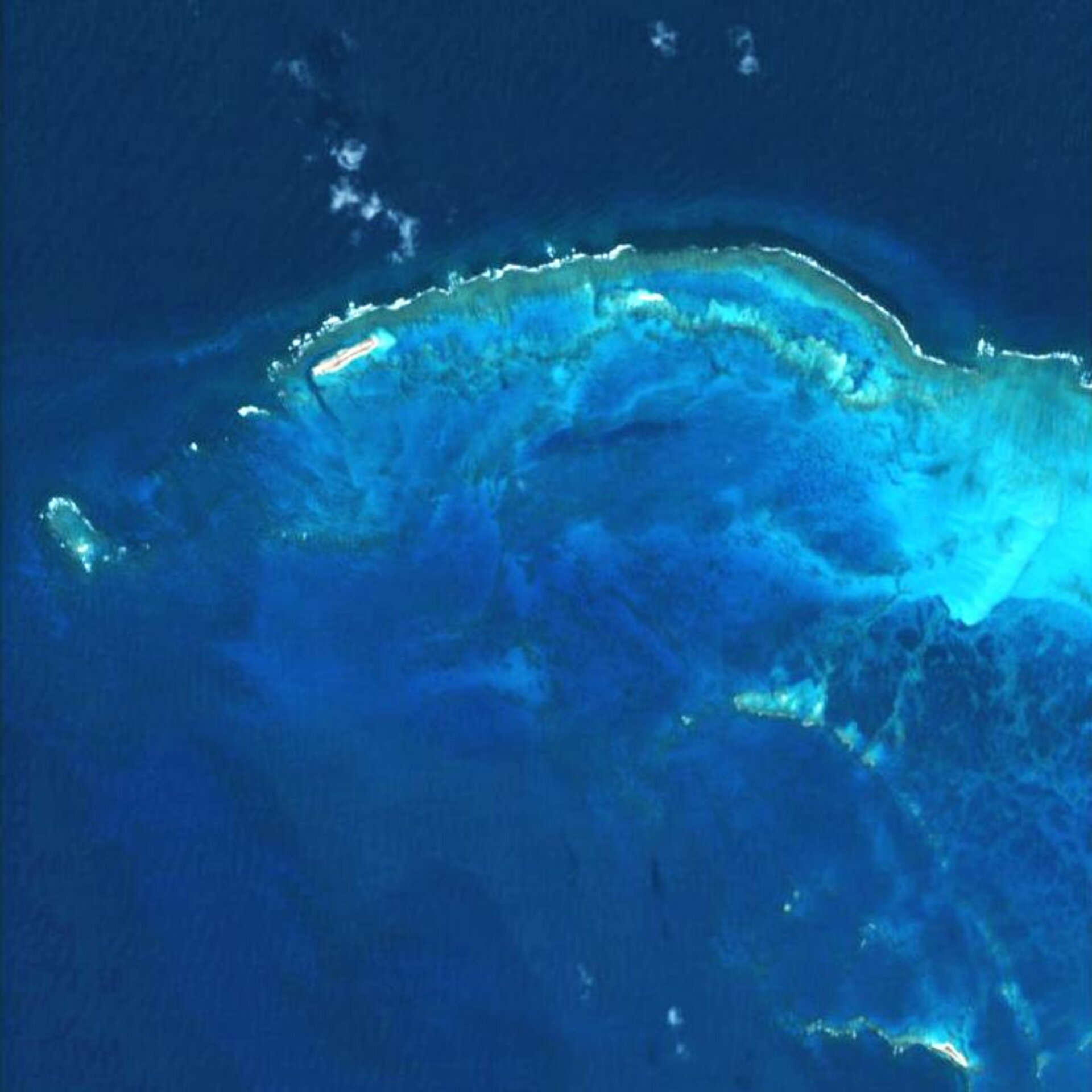
Only two such sensors are currently in orbit – Hyperion on NASA’s Earth Observing-1 satellite and CHRIS on ESA’s Proba-1 – and none that enables the global mapping of Earth.

CHRIS is Europe’s only flying imaging spectrometer, with a spatial resolution of 17 m in up to 62 bands. Despite being designed for a one-year life, it is now operating in its ninth year and is serving more than 300 scientific groups in more than 50 countries. Its data support a wide range of applications, such as land surface, coastal zone and aerosol monitoring.
These hyperspectral instruments will not be alone in space for long: three missions are planned to join them within the next five years.
Italy’s ASI space agency plans to launch Prisma, a medium-resolution hyperspectral imaging mission, in 2012. Prisma’s hyperspectral camera will be able to acquire images in about 235 channels in the visible and near-infrared and short-wave infrared.
"Prisma is an Earth-observation system with innovative electro-optical instrumentation that combines a hyperspectral sensor with a panchromatic, medium-resolution camera," said ASI's Prisma System Manager Giancarlo Varacalli. "The advantages of this combination are that, in addition to the capabilities offered by hyperspectral sensors, which can determine the chemical-physical composition of the target, the panchromatic adds a higher spatial resolution and the recognition of the geometrical characteristics of the scene."
"This offers the scientific community and users many applications in the field of environmental monitoring, resource management, crop classification, pollution control, etc. Further applications are possible even in the field of national security," explained ASI's Prisma Mission Manager Francesco Longo.
The German Aerospace Center (DLR) and the German Research Centre for Geosciences (GFZ) are planning to launch the EnMAP hyperspectral satellite in 2014 to map Earth’s surface in over 200 narrow colour channels at the same time.
"The primary goal of EnMAP is to offer accurate, diagnostic information on the state and evolution of terrestrial ecosystems on a timely and frequent basis, and to allow for a detailed analysis of surface parameters with regard to the characterisation of vegetation canopies, rock/soil targets and coastal waters on a global scale," explained EnMAP Project Scientist Prof. Herrmann Kaufmann of GFZ.
"EnMAP is designed to record bio-physical, biochemical and geo-chemical variables to increase our understanding of biospheric/geospheric processes and to ensure the sustainability of our resources."
In 2015, NASA plans to launch the HyspIRI mission, which will acquire images with 210 spectral bands. It will study the processes that indicate volcanic eruption; analyse the nutrients and water status of vegetation; study deforestation; provide early warning of droughts; among others.
Nearly 200 scientists from Europe and North America gathered at ESA’s Earth Observation Centre in Frascati, Italy, last week to discuss the current and future hyperspectral/imaging spectroscopy capacity.
The 2010 Hyperspectral Remote Sensing Workshop, co-organised by ESA, DLR, GFZ and ASI, covered topics ranging from products and applications of hyperspectral data use in agriculture, geology, land surface, atmosphere, coastal zones, urban areas, etc. that have been built up and supported by ESA’s CHRIS Proba mission over the past eight years.