Satellite data yields major results in Greenland glaciers study
ESA's satellite radar imagery has played a central role in scientists’ findings on changes in the velocity structure of the Greenland Ice Sheet.
Using satellite data collected between 1996 and 2005 by ESA’s European Remote Sensing satellites ERS-1 and ERS-2, ESA’s Envisat Advanced Synthetic Aperture Radar (ASAR) and Canada’s Radarsat-1, scientists learned Greenland glaciers are melting into the sea twice as fast as previously believed.
Eric Rignot of NASA’s Jet Propulsion Laboratory (JPL) in California and University of Kansas scientist Pannir Kanagaratnam measured glacier velocities using Radarsat-1’s radar interferometry data collected in fall 2000 and spring and summer 2005, ERS-1 and ERS-2 data collected in winter 1996 and Envisat data from summer 2004.
The study, published in Science on 17 February 2006, found Greenland’s southern glaciers are now dumping twice as much ice yearly into the Atlantic as they did in 1996, accounting for nearly 17 percent of the estimated 2.54 millimetre annual rise in global sea levels.
"The importance of the ERS archive to this work is enormous. ERS-1 and ERS-2 1992 and 1996 data is our reference survey for decades to come. It is quite important to maintain this reference. As good wine, it will gain value with age. None of our work would have been possible without it," Rignot said.
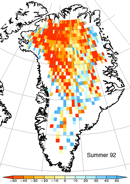
It is important to carry on long-term monitoring over Greenland as well as Antarctica because the long-term observations by satellites such as Envisat and ERS provide authoritative evidence of trends and enable estimation of the consequences should such melting continue into the future.

Greenland’s ice sheet has an area of
Radar interferometry, known as InSAR, is used to measure the vast thickness of ice sheets by determining the height of the surface accurately enough to detect small changes. ESA has been at the forefront of its development because the Agency has been operating Synthetic Aperture Radar (SAR) satellites for the last 15 years, first with ERS-1, then ERS-2 and latterly Envisat.
To measure glacier velocities, Rignot explained he and Kanagaratnam use a combination of techniques based on the comparison of images. Comparing data taken over shorter times – such as images retrieved one day apart by ERS-1 and ERS-2 – is a process known as interferometric phase, while data compared with a longer time separation – such as images taken every 35 days by Envisat and those taken every 24 days by Radarsat-1 – is called speckle tracking.
"Speckle tracking procures vector information with two images; interferometric phase requires two images in two crossing tracks (ascending and descending) to produce vector information. On some glaciers, we combined interferometric phase in range with speckle tracking in azimuth," Rignot said.
Rignot and Kanagaratnam’s study is the latest in recent months to use data from ESA's ERS satellites to focus on changes in the Greenland Ice Sheet. A Norwegian-led team utilised more than a decade's worth of data from radar altimeters on ERS satellites to measure elevation changes in the Greenland Ice Sheet from 1992 to 2003. The results of their study were published in Science in November 2005.