
Satellites will join search for source of Ebola virus
Microscopes are not the only tools available to study disease. A new ESA project employs satellites to predict and help combat epidemic outbreaks, as well as join the hunt for the origin of the deadly Ebola virus.
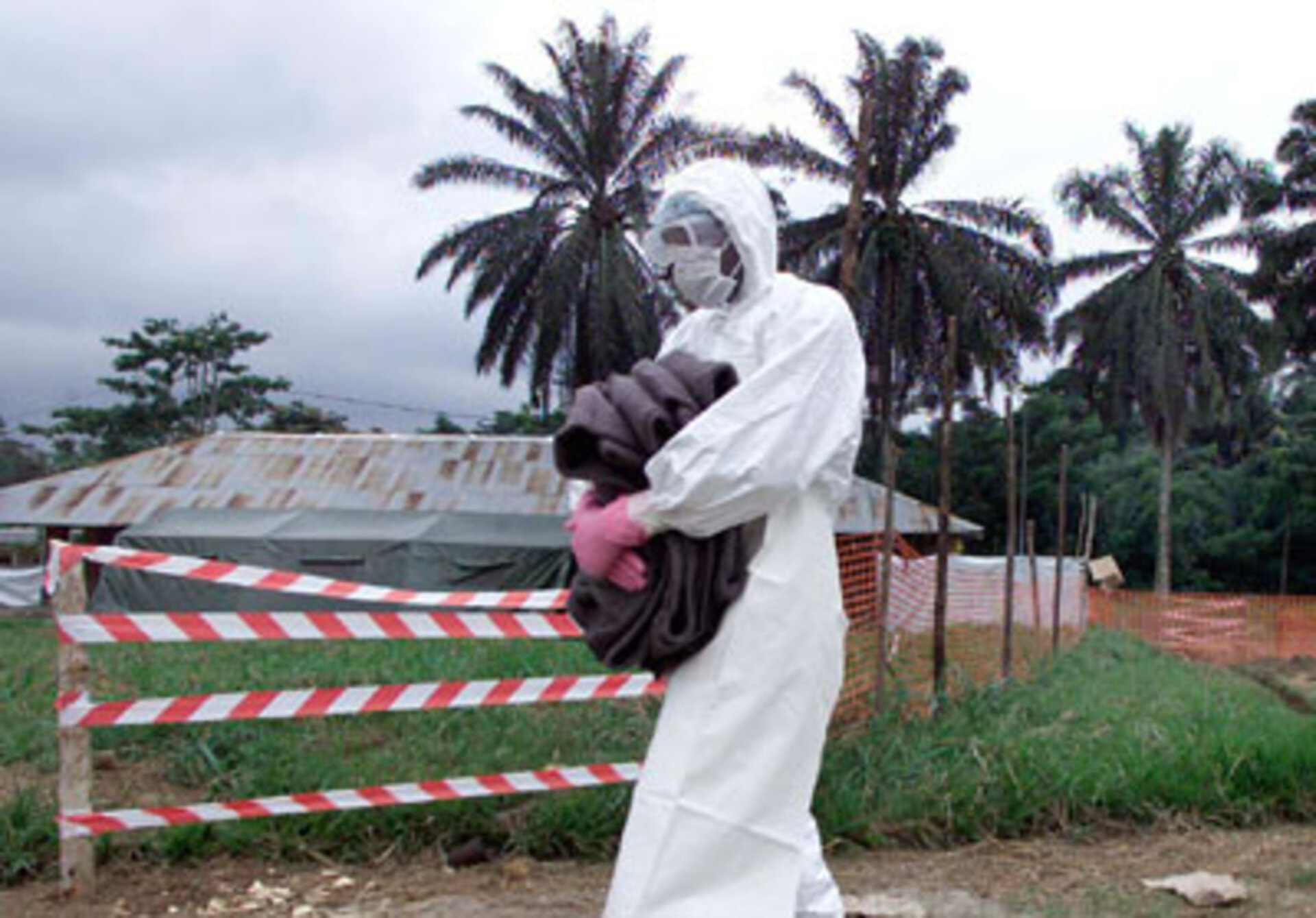
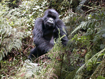
Ebola haemorrhagic fever kills many people in Central Africa each year. It can cause runaway internal and external bleeding in humans and also apes. What remains unidentified is the jungle-based organism serving as the virus’s host.
To assist search efforts, from next year detailed vegetation maps of Congo and Gabon will be created with satellite images as part of a new ESA Data User Element project called Epidemio, developing Earth Observation (EO) services for epidemiologists.
The Gabon-based International Centre for Medical Research (CIRMF) will combine EO data with field results within a geographical information system (GIS). They hope to spot particular environmental characteristics associated with infected sites where either dead animals are found or local people have acquired Ebola antibodies.
“By comparison with known infected sites, remote sensing will help determine other suspect sites,” said Ghislain Moussavou of CIRMF. “It is not possible to test the blood of animals throughout the global target area – about 400 sq km of jungle - but it will be helpful to concentrate the efforts of teams collecting animals at these sites.” The animals’ blood can then be tested for signs of Ebola.
The satellite data will be updated monthly to gain more clues, Moussavou added: “In Gabon and Congo, we have observed an annual periodicity of Ebola outbreaks. This suggests particular ecological conditions characterise the reservoir host habitat.”
EO images will also be provided to the World Health Organisation (WHO) Public Health Mapping Programme, for import into WHO’s HealthMapper GIS software used by public health officials in more than 70 countries.
“Ultimately our system depends on ground-gathered data, but remote sensing could be a useful addition,” said Jean-Pierre Meert of WHO. “Local maps are often 30 years out of date, so we’ve asked for high-resolution images of cities from Casablanca in Morocco to Vientiane in Laos, to help us better plan medical responses such as locating urban clinics. We also hope to keep better track of nomadic peoples, so we’re better placed to provide them with medical help.”

Combating malaria – which affects 300 million people worldwide and kills up to 1.5 million people annually – is a particular focus of several different Epidemio users. Acquiring satellite-gathered meteorological data is of great interest. High humidity and rainfall levels often presage malaria outbreaks due to increased mosquito numbers.
“Reliable continent-wide information on surface temperature is a particular boon,” said Simon Hay of the University of Oxford Zoology Department. “These temperature data would help in discriminating those rainfall events that occur in a window most favourable for the generation of malaria.”
