
Burning forests speedily space-mapped for fire fighters
Maps of burning Spanish forests taken from space have been relayed to local fire fighters in near real-time. A successful demonstration campaign using Earth Observation data has taken place in Galicia – delivery time from raw orbital data to final value-added product in the hands of the user came to 92 minutes.
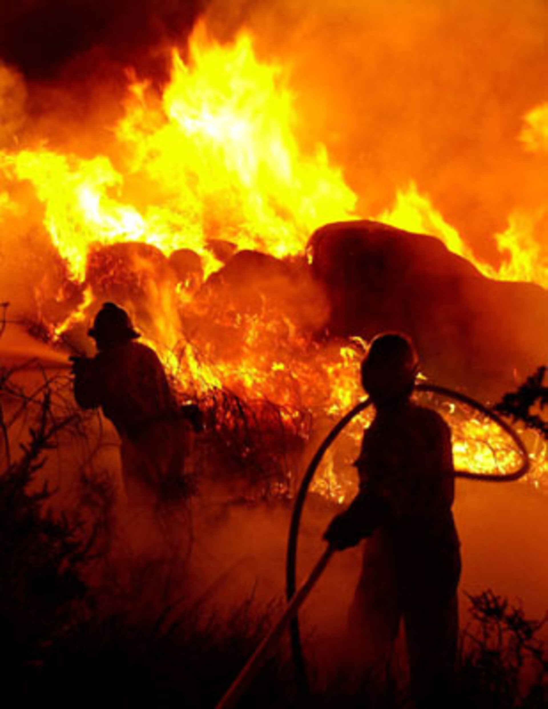
Around 45 000 forest fires start across Europe every year, with half a million hectares of woodland lost in the Mediterranean region alone. The European Commission estimates the cost of every hectare burnt equals between a thousand and 5000 Euros. Satellite data are used for compiling forest fire risk indices as well as damage mapping, but rapid provision of fine-resolution data has so far not been used in operational fire fighting. To track blazes as they happen, fire fighters must rely on eyewitnesses or helicopter surveys – up until now.

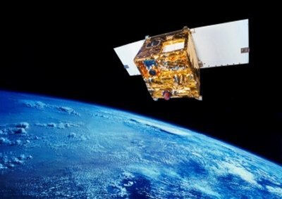
The Galicia-based demonstration campaign is known as DEMOBIRD and commenced with an initial trial on May 30. This involved using infrared sensors aboard Germany's BIRD (Bi-spectral Infrared Detection) satellite to chart thermal hot spots within a 190 km strip of land during the satellite's four-minute pass over the Spanish province.
Once the satellite acquired the data it was downlinked to ESA's Villafranca tracking station near Madrid, then transferred to the German Aerospace Centre DLR for calibration and passed on to Spanish prime contractor INSA to be processed for products, delivered to users and validated with GPS readings taken on the ground.
Before BIRD had completed a single orbit, local fire fighters had been provided with geo-referenced hot-spot maps together with a risk index indicating where the blaze was most likely to spread as well as fireline representations. The data detected a hundred per cent of the fires over cloud-free areas. Later tests established data delivery times could be cut to an hour once the DEMOBIRD system is fully implemented.
DEMOBIRD is being run by INSA and the Laboratorio de Teledetección of the University of Valladolid as part of the ESA Earth Watch Programme FUEGOSAT. The aim is to develop and launch a constellation of small satellites to supply operational data to help fight forest fires.
Woodland areas will be surveyed with a high revisit time to enable risk monitoring for prevention and planning, as well as detecting fires as they start and then analyze and predict their evolution over time.
