ESA's miniature Earth observer put to many uses
Think of ESA's Proba as the little satellite that does a lot. It is only the size of a washing machine but its main instrument - the smallest hyperspectral imager ever flown in space – has an expanding portfolio of uses encompassing agricultural mapping, water quality monitoring, charting forest fire damage and disaster management.
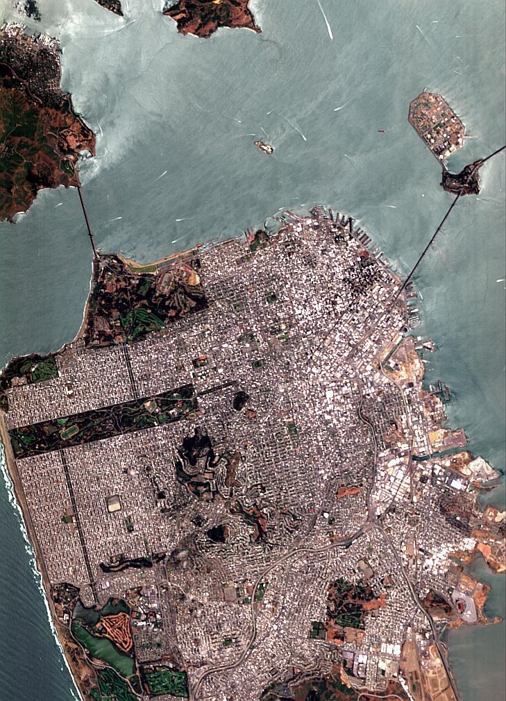
Launched in October 2001, the Project for Onboard Autonomy (Proba) satellite measures just 60 x 60 x 80 cm. Its main instrument takes up around a third of this pint-sized orbiter and is known as the Compact High Resolution Imaging Spectrometer (CHRIS).
Operating from a distance of 600 km away, CHRIS acquires 14-km square images of the Earth's surface to a resolution of 18 metres, in a combination of up to 19 out of a total of 62 spectral bands to provide added environmental information. And the same scene can be viewed from a variety of different angles because Proba is manoeuvrable enough to perform controlled rolls.

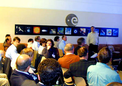
That remarkable combination of abilities has aroused the interests of researchers worldwide. Last week around 40 of them met up at ESA's European Space Research Institute (ESRIN) centre at Frascati, Italy. They discussed their current and future uses of the instrument at the three-day Second CHRIS/Proba Workshop from 28 April.
"Proba was launched as a technology demonstrator with all sorts of experimental equipment aboard, including CHRIS," explained Evert Attema, Head of the ESA Scientific Campaign Unit. "But once in orbit we found both Proba and CHRIS performed well above expectations, and so we put out an Announcement of Opportunity for scientists interested in making use of CHRIS data. Some 60 different groups responded, and we are hearing about their projects during this event."
Looking at life on land
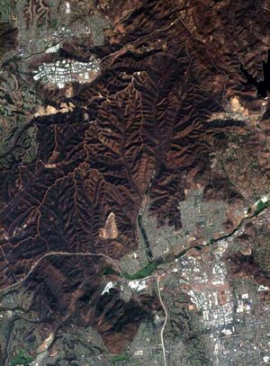
CHRIS's ability to retrieve hyperspectral and multi-angular data makes it especially useful for the study of vegetation cover on land. Francois Kayitakire of the University of Louvain's Water and Forest Unit in Belgium recounted research being carried out on the 10000-hectare Nismes forest.
CHRIS's hyperspectral capability helped differentiate tree species – identifying coniferous and deciduous trees as well as spruce and pine groups – while differing canopy shadows seen in multiple angle views yielded data on woodland density, tree height and limb span.
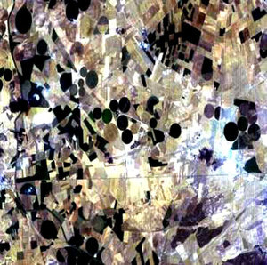
Ray Merton of the School of Biological, Earth and Environmental Sciences of the University of New South Wales in Australia explained how his team used CHRIS imagery as part of an investigation of how the reflectance properties of cotton might be used on an operational basis to estimate the crop's health, maturity and yield.
Merton's team are documenting the spectral properties of cotton on a variety of scales, from looking at individual cotton leaves in the lab to making field acquisitions close-up, from using airborne hyperspectral imagers all the way up to Landsat data.
He stated that the CHRIS data acquired served as a useful bridge between the aerial and Landsat imagery. The research had been hampered by a persistent drought affecting their test area, but even so, CHRIS data was shown to be able to differentiate between cotton species, crops with high, normal and low water content and also high and low fertility of the underlying soil.
Working over water
CHRIS was designed for Earth Observation over land surfaces, but a number of research teams are investigating its use to study inland water bodies as well as coastal water sites.
Ramon Pena-Martinez of the Centre for Hydrographic Studies of Spain's Centro de Estudios y Experimentación de Obras Públicas (CEDEX) explained how he was preparing to use CHRIS data in support of a project employing the Medium Resolution Imaging Spectrometer (MERIS) instrument on ESA's Envisat spacecraft to detect traces of potentially harmful phytoplankton in his country's reservoirs.
"Because most rain in Spain falls in the north, the country has hundreds of large reservoirs to redistribute water where it is needed," Pena-Martinez explained. "We are interested in monitoring levels of photosynthetic pigments on the surface of a number of sample reservoirs as an indication of phytoplankton concentrations and overall water quality.
"We are interested in using whatever hyperspectral sensor is available for this task, including airborne instruments, and monthly acquisitions from CHRIS represents a valuable additional resource for us."
Joining forces for fire mapping

CHRIS is also set to join forces with another mini-satellite to survey the longer-term damage done by forest fires. When Proba was launched it shared its rocket with the Bi-Spectral Infrared Detection (BIRD) spacecraft designed by the German Aerospace Centre (DLR) to detect high-energy and fire events across the Earth's surface.
This being so, the joint research programme outlined to the Workshop by Dieter Oertel of DLR represents a sort of reunion. CHRIS will re-acquire the sites of forest sites charted within the last year by BIRD to map the extent of the burnt area and identify any vegetation regrowth. Areas under target include last year's fire zones in Spain and Portugal as well Australia and Siberia.
"Fire is the single most active environmental change agent," Oertel said. "Within many ecosystems such as boreal forests low to medium intensity fires are actually beneficial, reducing fuel loads and stabilising the environment. However high intensity fires can be more destructive, leading to destruction of the dominant plant species, soil degradation, increased water run-off, flooding and landslides.
"The data from the two satellites will help develop a system to decide when a fire is either beneficial or destructive."
Aftermath of disaster

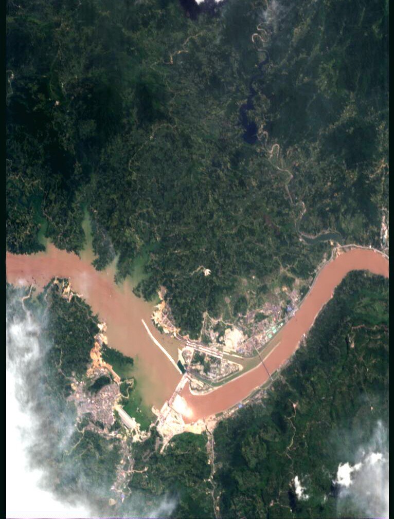
The Workshop also heard how the international Charter on Space and Major Disasters was considering an increase in its use of CHRIS imagery for high-resolution damage assessment as a response tool during disaster situations. Back in December 2003 a CHRIS image of flooding in the town of Ville d'Arles in France was acquired following a Charter activation.
The nature of Proba's origin as a technology demonstrator mission means that CHRIS has previously lacked archive data to enable before and after comparisons (although an archive is now being integrated within the ESRIN Multi-Mission ground segment) but the possibility of employing SPOT or Landsat data for comparison purposes was discussed at the Workshop.
Qingxi Tong of the Institute of Remote Sensing Applications of the Chinese Academy of Sciences in Beijing stated that China had a widespread interest in hyperspectral imaging for a variety of uses from mineral prospecting to disaster relief. As part of the flood research element of the joint ESA-China Dragon Programme, CHRIS acquisitions of flood-prone areas near Beijing are being scheduled for the summer.
About Proba
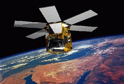
Proba (Project for On Board Autonomy) is an ESA micro-satellite built by an industrial consortium led by the Belgian company Verhaert, launched in October 2001 and operated from ESA's Redu Ground Station (Belgium).
Orbiting 600 km above the Earth’s surface, Proba was designed to be a one-year technology demonstration mission of the Agency but has since had its lifetime extended as an Earth Observation mission. It now routinely provides scientists with detailed environmental images thanks to CHRIS - developed by UK-based Sira Electro-Optics Ltd - one of the main payloads on the 100 kg spacecraft.
Proba boasts an 'intelligent' payload, has the ability to observe the same spot on Earth in a large combination of different visible and infra-red spectra as well as from a number of different angles. A follow-on mission, Proba-2, is due to be deployed by ESA around 2005.
Proba's unique capabilities also makes it a useful resource in the development of the proposed hyper-spectral and multi-angular Surface Processes and Ecosystem Changes Through Response Analysis (SPECTRA) mission, an Earth Explorer spacecraft intended to study terrestrial vegetation across the world's major biological communities or biomes. If selected for development, SPECTRA would launch around 2012.