Space for nature
Information from Earth-observing satellites is being used to protect and sustainably manage our natural resources.
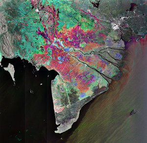
Located in Vietnam, on the eastern slope of the Annamite mountains, the Huong Son is a tropical forest subject to logging activities. While extracting timber from the forest is important to the local economy, unsustainable logging practices can negatively affect forest carbon sequestration, soil erosion, water recycling and, in turn, the local economy.
Despite the logging, the forest’s biomass is still in relatively good condition. In order to maintain this, proper forest management is necessary.
Data from Earth-observing satellites have been used to map and measure the forest. Information about forest type and biomass has been combined with forest management plans, as well as market processes and revenues to allow forest management authorities, to assess which areas can provide the highest profit if logged, while maintaining a healthy forest.
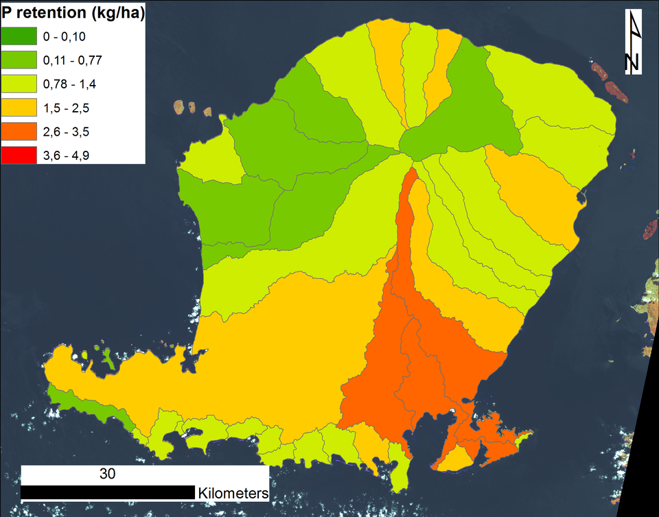
This concept of evaluating the benefits of a natural resource – known as ecosystem service assessment – can be applied to many resources beyond timber. Examples include food, fuel, water, air filtration, carbon sequestration, ecotourism, nutrient retention and sediment erosion control.
Under the Space for Ecosystems project, ESA is working with international partners to exploit Earth observation satellites as an information source for many types of ecosystem service assessments.
ESA is also plays an important role in the modelling activities, ensuring that the various aspects within an ecosystem are correctly estimated.
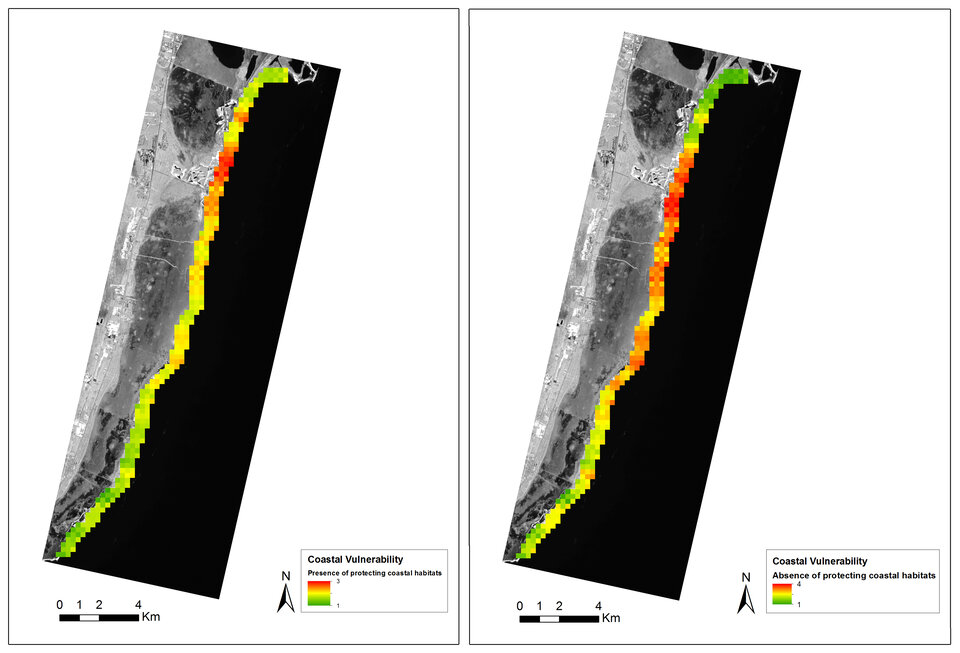
On the coast of Mexico’s Yucatan peninsula, satellite data were used to assess how coral reef and sea grass beds protect the coastline from wind and wave erosion. Following careful assessment, maps demonstrating the coastline’s varying vulnerability with and without these underwater habitats were produced.
This information can now be used by coastal authorities and local entrepreneurs to assess how to develop the coastline while sustainably protecting the reef, allowing important revenue from ecotourism to continue.
“The basic map products and the ecosystem service assessments have great utility for management, understanding the dynamics of local environmental processes, for guiding economic decisions of investors and communicating to policy-makers,” said Susana Enríquez from the Institute of Ocean Sciences and Limnology at the Unidad Académica in Puerto Morelos, Mexico.
“For example, the map of increased risk due to sea level rise or reef loss could be used for risk analysis by hotel developers. The decisions they make will communicate to policy-makers the real economic risks of these changes.”
The Sentinel family of satellites being developed for Europe’s Copernicus programme is set to provide even more data for ecosystem service assessment. The first of the fleet, Sentinel-1A, was launched in April, and carries an advanced radar that can assist in mapping changes in land cover, among many other applications.