Space for the sea: highlighting ESA activities at Oceanology International
How does space help with the study of the sea? Find out by paying ESA a visit at the 2004 Oceanology International Exhibition and Conference in London's Docklands from March 16.
Occurring every two years, the four-day gathering is a leading ocean technology and marine science event, attracting visitors involved in all aspects of oceanography, including policy makers and representatives from industry as well as scientific researchers.
Attendees will have the opportunity to learn about the role ESA plays in oceanography research and operational marine services from an Agency stand based on the theme of 'Ocean Information'.
ESA is also supporting a conference held in conjunction with this main event on Operational Oceanology and Remote Sensing, sponsored by the Alliance for Marine Remote Sensing (AMRS) - a group dedicated to the promotion of environmental Earth Observation technologies.
Topics under discussion include maritime security and fisheries protection, ice services, disaster prevention and management, current and future Earth Observation systems and also how remote sensing enables operational ocean forecasting systems.
Ian Taylor MP, former UK Science Minister and currently Vice Chairman of the Parliamentary Information and Technology Committee and Board Member of the Parliamentary Office of Science and Technology will give the opening address to the AMRS conference on the morning of Tuesday 16 March.
The Oceanology International exhibition and associated conferences take place in East London's ExCel exhibition centre. Registering for the exhibition is free and can be carried out online.
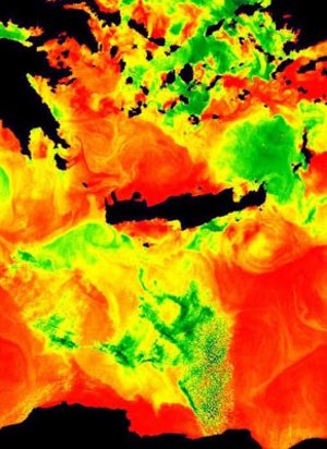
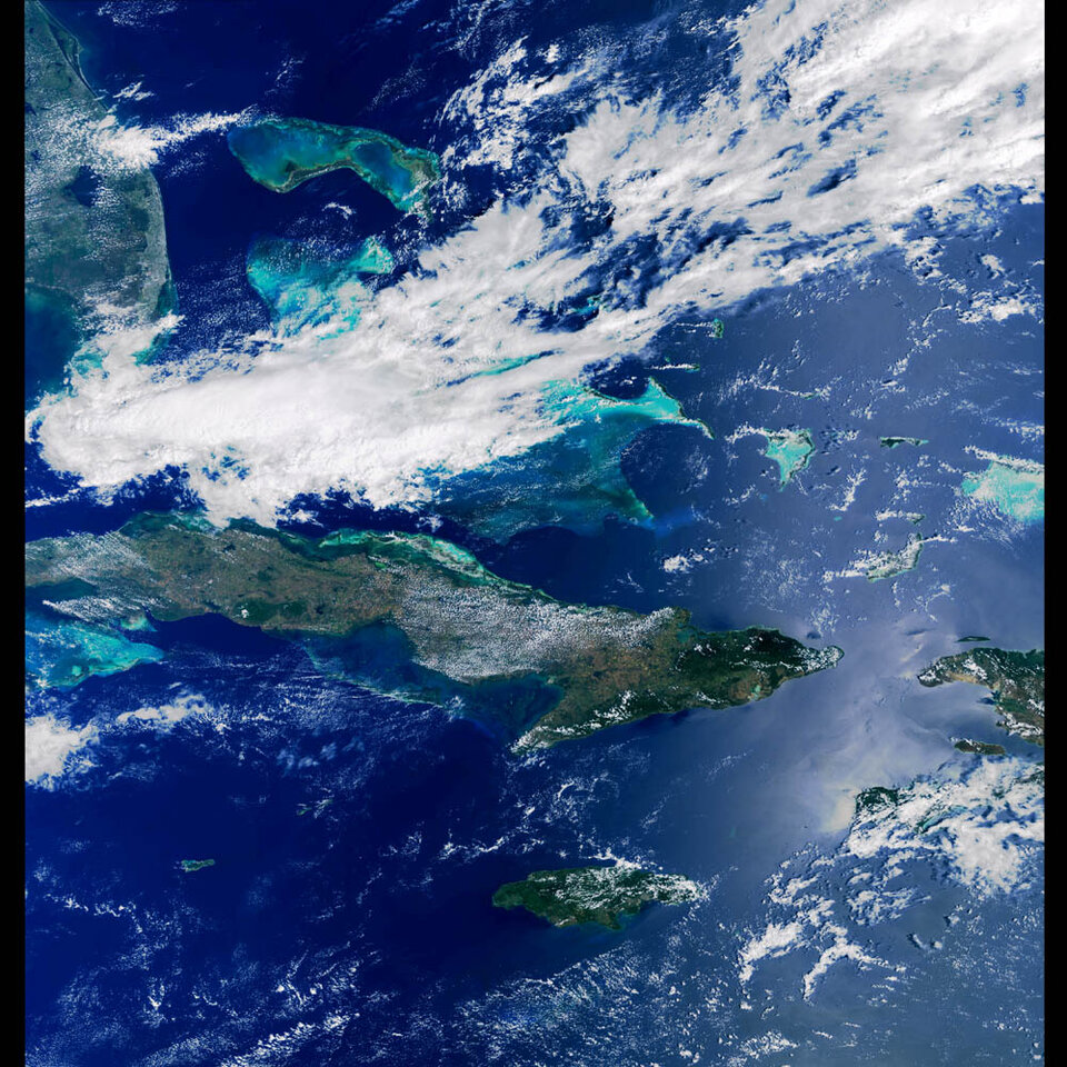
ESA space-based sensors continually gather data on the 71% of our planet covered by oceans. For more than a decade ESA satellites have been measuring sea surface temperature (SST) down to a third of a degree to a spatial resolution of one square kilometre.
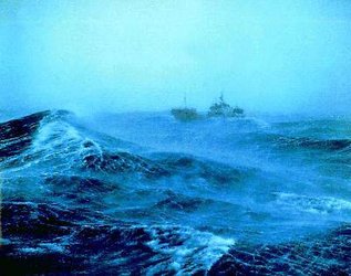
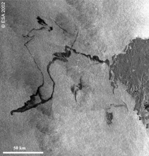
Synthetic Aperture Radar (SAR) instruments flown aboard ERS and Envisat can track icebergs and oil slicks as well as differentiate between calm and stormy waters.
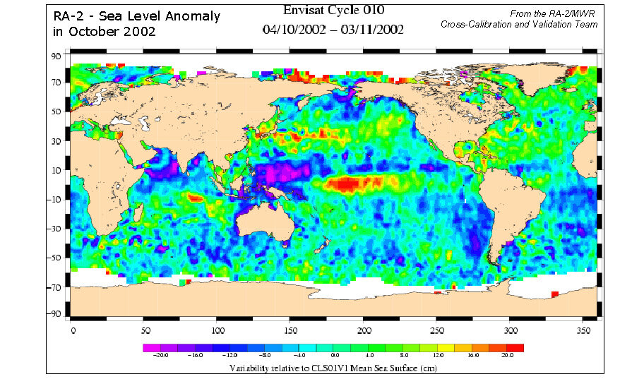
The spacecraft also carry Radar Altimeters that can map ocean height to an accuracy of a few centimetres, enabling them to 'see' ocean currents that stand below or above the surroundings waters, as well as measuring overall wave heights.
In addition, the data these instruments return enable researchers to measure very gradual deviations from average ocean height that correspond to contours on the sea floor bottom, representing a means to map them.
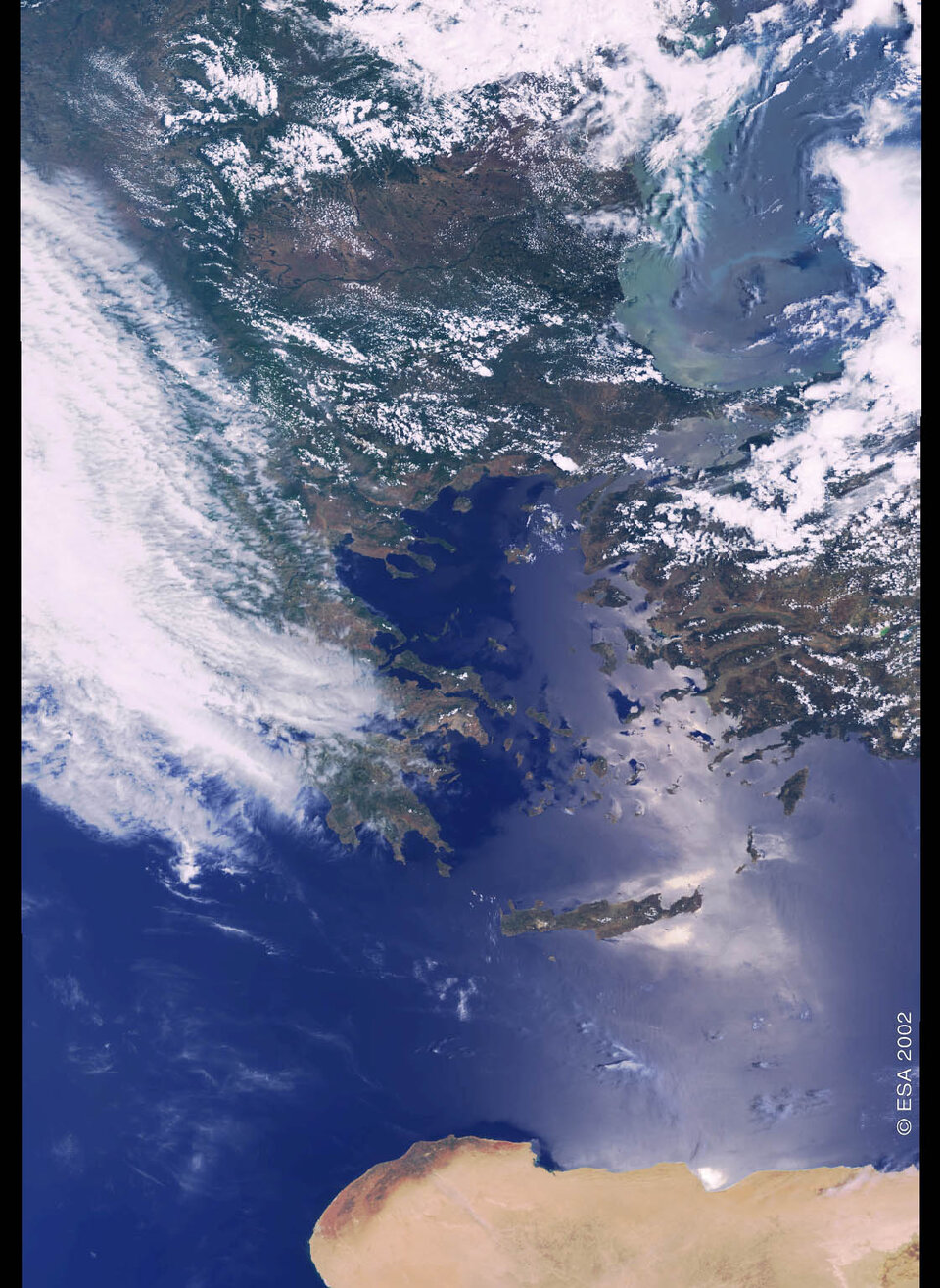
And ESA's Medium Resolution Imaging Spectrometer (MERIS) instrument aboard Envisat is specifically designed to measure ocean colour, enabling it to monitor phytoplankton distribution, water sediment and pollution levels along coastal zones and the open ocean.
This continuous return of data also makes possible a range of marine forecasting services, many of which are being developed by ESA under the umbrella of the Global Monitoring for Environment and Security (GMES) joint initiative with the European Union, with the aim of increasing Europe's capability to gather environmental information.