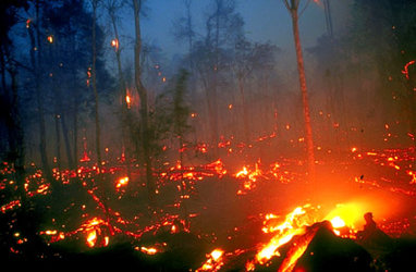
Airborne campaign tests new instrumentation for wildfire detection
Though the idea that spaceborne instruments on polar and geostationary satellites can help in wildfire detection and monitoring is well consolidated in the remote sensing community, it has not yet been fully implemented in fire management practices. A recent ESA airborne campaign called AIRFIRE has been carried out to assess how an optical instruments operating in the visible and infrared regions of the spectrum could help.
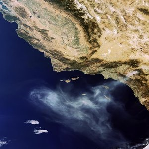
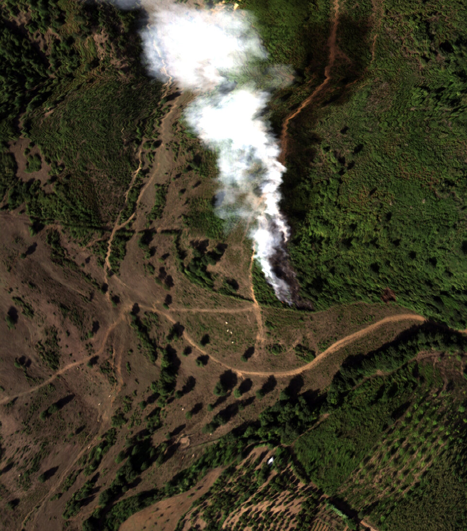
Observations from satellites currently in orbit are made with a ground resolution pixel size that exceeds the majority of wildfires. Therefore, the objective of the campaign was to take high-resolution images of fires from aircraft to act as 'ground truth' data in order to validate present models used for the assessment of products obtained from satellite observations of wildfires. In addition, the measurements acquired during the campaign can be used to assess the performance of GMES (Global Monitoring and Environmental Security) related sensors for wildfire observation and support to fire fighting activities.
The campaign was carried out during August 2006 over the Tuscan and Lazio regions in Italy. The time and place for the campaign was chosen to tie in with the high probability of finding wildfires in an area that the team could quickly reach by light aircraft.
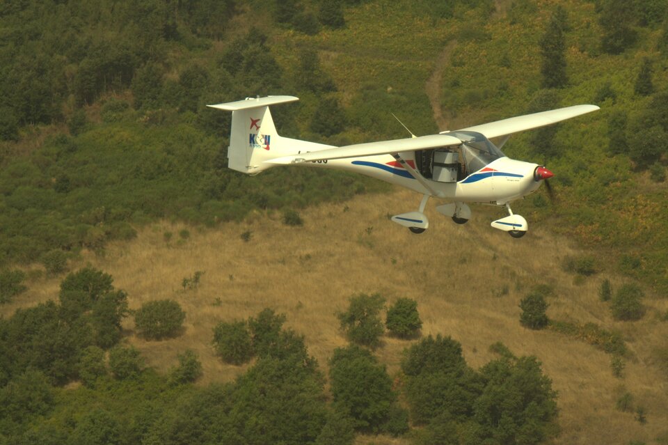
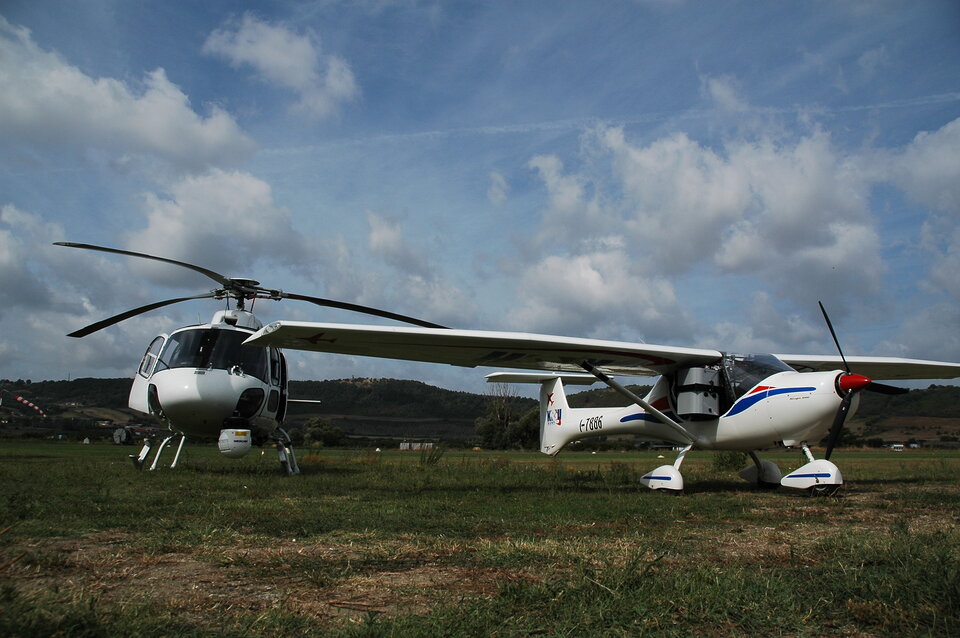
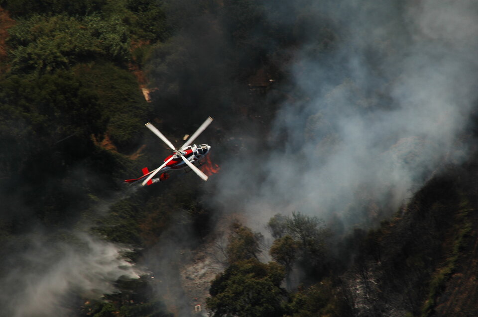
The campaign, which was led by Kell S.r.l. from Italy, involved a light aircraft equipped with a hyperspectral sensor and a helicopter carrying a thermal infrared cameral mounted on a gyro-stabilised platform. A team of three pilots and five specialists operated the aircraft and sensors and succeeded in collecting a half a terabyte of data on a dozen wildfires. Another interesting aspect of the campaign was the use of a light and low cost platform to deploy state of the art airborne instruments paving the way for a new generation of airborne campaigns.
The team carried out the campaign in close cooperation with the Italian authorities responsible for fighting fire from the air. When a wildfire was detected within 100 km from the campaign base, the team was alerted. Their response proved very fast with images of the fire usually taken within 30 minutes of receiving the call. The equipment, sensors, data facilities and aircraft all operated flawlessly taking the campaign to its successful completion.
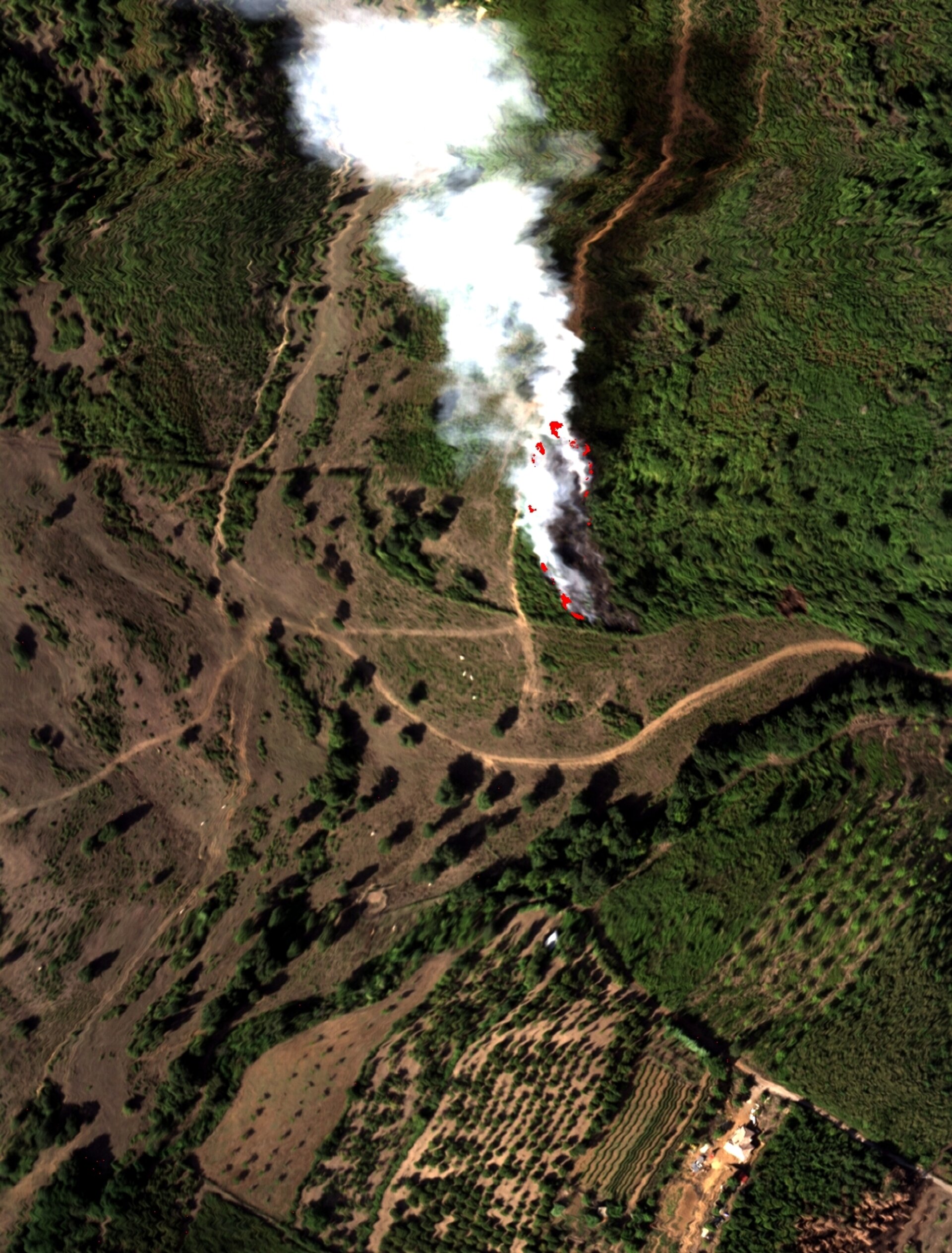
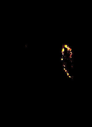
Now that the practical component of this part of the campaign is over, the team of scientists face the complex task of data processing and interpretation. Preliminary results on raw data already show that the SWIR (Shortwave Infrared) bands are very suitable for detecting high temperatures very precisely – in particular burning areas, even when shielded by smoke. Another preliminary result clearly shows the possibility of detecting flames through the potassium spectral emission (potassium is one of the elements released during vegetation burning process).
One of the key tasks of data analysis will be the assessment of the errors of co-located existing space data to build a solid knowledge base that will pave the way to future operational use.
The AIRFIRE campaign was carried out for ESA by Kell S.r.l. (I). The hyperspectral system (756 channels operating in the VIS/NIR and SWIR spectral regions) was developed and is owned by Selex SAS (I). The responsibility for the scientific analysis lies with INGV (I).