Earth observation conference at ILA
ESA will host an Earth observation conference at the ILA Berlin Air Show to present how it is responding to the increasing demand for remote-sensing data as decision-makers are faced with environmental change, natural disasters and civil security issues.
As in past years, ESA, the German Aerospace Center (DLR) and the German Aerospace Industry Association (BDLI) will share a joint pavilion in the Space Conference area, Hall 9. The conference, organised by ESA, DLR and BDLI, will take place there on 9 June at 14:00; although participation is free, confirmation of attendance is required.
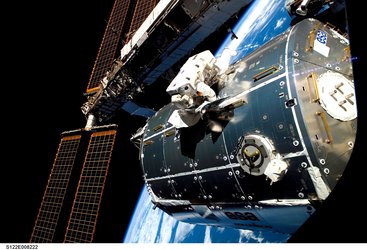
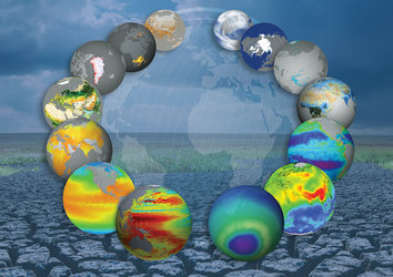
Earth observation data are becoming increasingly important in Europe for climate monitoring and disaster management. ESA and European agencies have responded to these needs by developing the Global Monitoring for Environment and Security (GMES) and the International Charter on Space and Major Disasters initiatives and launching a series of Earth Explorer satellites.
During the conference, top experts from around the world will be on hand to discuss how satellite observations can help in the management of major international disasters and monitor climate change and exploit the new Earth Explorer datasets.
One of the most ambitious space programmes, GMES, is expected to create huge future markets. EU Parliament and Commission members will be on hand to discuss how GMES can benefit society and European citizens.
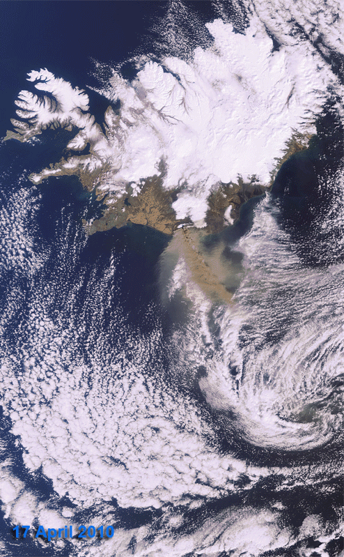
Recent catastrophes around the world highlight the urgent need for satellite data to help with disaster management. The International Charter Space and Major Disasters is a prime example of how worldwide resources are combined for the benefit of disaster victims.
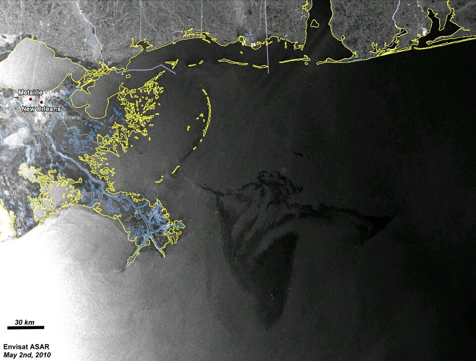
The Charter is an international collaboration between worldwide space agencies to put satellite remote sensing at the service of civil protection agencies and others in response to natural and man-made disasters. Field experts and rescue agencies will explain how the system works and how it can be enhanced in the near future.
New datasets from ESA’s CryoSat mission, launched in April, will also be presented during the conference and assessed in the context of global warming and melting polar ice. Armed with these new data, experts will address how to react politically to the increasingly stable climate change models.
The full programme and application form can be found here.