Measuring forest biomass from space - ESA campaign tests BIOMASS mission
This month has marked the completion of an ESA airborne radar campaign in support of the candidate Earth Explorer BIOMASS mission. As the BIOMASS mission is currently undergoes assessment, the two-month campaign carried out over the boreal forests of southern Sweden is essential to better define the mission concept – the aim of which is to measure global forest biomass.
A key objective of this candidate mission is to improve our understanding of forest dynamics over the huge boreal regions. The spatial distribution of forest biomass and changes in biomass over time, represent important information to improve present assessments and future projections of the terrestrial carbon cycle as they integrate processes that release (e.g. through deforestation) and absorb (e.g. through reforestation) carbon dioxide. The impact that boreal forests have can be seen during their maximum growth phase, which takes place in the northern spring and summer, when global concentrations of atmospheric of carbon dioxide fall and global concentrations of atmospheric oxygen rise.
The main objective of the BIOMASS mission, currently envisaged as a P-band spaceborne Synthetic Aperture Radar (SAR) satellite, will be to provide consistent global estimates of forest biomass, forest disturbance and re-growth. Due to the sensitivity of longer wavelengths to forest biomass combined with the advanced weather-independent capabilities of modern polarimetric and interferometric SAR instruments, such systems are ideally suited for the challenging task of forest biomass mapping.
However, as ESA Mission Scientist Malcolm Davidson admits, "There are open issues surrounding the mission such as a more quantitative assessment of the algorithms used to generated biomass maps, the impact of the time gap between successive acquisitions on such algorithms and the influence of the frequency regulations and constraints on the spaceborne system. The BioSAR campaign, recently carried out in Sweden, was designed to allow us to address these critical issues and lead to a better-defined satellite mission."
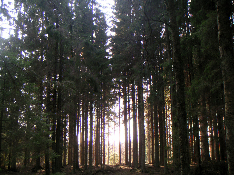
The campaign was conducted from the air by the German Aerospace Centre's (DLR) Microwave and Radar Institute using the E-SAR (Experimental Synthetic Aperture Radar) instrument, along with ground measurements of the essential forest characteristics such as above ground biomass, forest height and ground conditions acquired by the Swedish Defence Research Agency (FOI) and supported by Swedish University of Agricultural Sciences in Umeå (SLU) and Chalmers University.
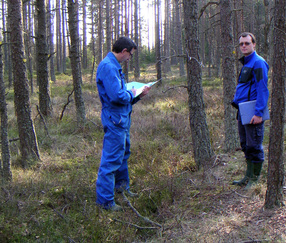
Lars Ulander from FOI commented that, "The fact that ground measurements have been taken for decades at the Remningstorp test sites and the variety offered in terms of forest height, forest density and tree types make this test site a unique location for taking measurements of boreal forest with airborne and satellite SAR systems."
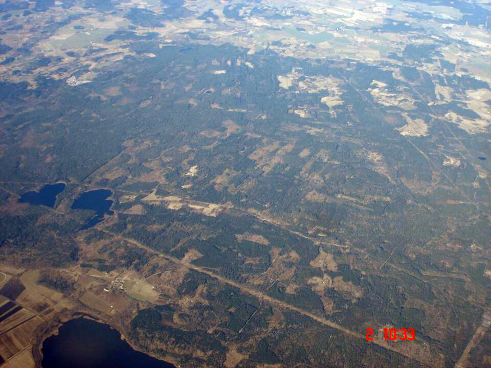
The airborne data were collected over a period of two months to simulate the time-gap between successive acquisitions from the BIOMASS sensor. L- and P-band multi-polarisation and multi-baseline flight configurations where used to investigate optimum algorithms for the retrieval of the precious forest biomass information. The Remningstorp test site was chosen because of the easy accessibility and its boreal forest characteristics.

Since the site already serves as a calibration test site for the Japanese ALOS satellite, which carries an L-band SAR sensor, it offers some unique technical facilities to support the airborne acquisitions, as Ralf Horn the E-SAR System Mission Manager was keen to underline, "Thanks to the efforts of FOI, several huge 5-metre high corner reflectors for SAR data calibration have been installed in the site. Not only are such corner reflectors impressive to see in the field, more importantly they will provide strong reference signals in the airborne P-band radar images and will contribute to better calibration of the radar data, and thus higher quality data."

Beyond the immediate needs of the BIOMASS mission concept, the interest in the results of the campaign is expected to be enormous as a complete remote-sensing datasets and simultaneously acquired ground data are very rare. The BioSAR campaign data will be available to the wider scientific community via ESA following the end of the activity.
Irena Hajnsek, the Project Leader at DLR commented that, "We urgently need to better understand how we can quantify forest biomass from space. This unique dataset will help the community of SAR scientists in this important work and lead to new methods for biomass and related carbon estimates from space."