Value of satellites recognised for conserving wetlands
Wetlands contribute to our lives in remarkable ways by providing food and water, controlling floods, protecting against storms and supporting biodiversity, yet they are experiencing loss and degradation on a massive scale.
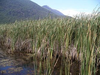
Wetlands are areas that are covered with water for long enough periods to support plants that thrive in wet soils, so they are not all wet year-round. The areas include marshes, swamps, bogs and wet meadows.
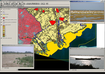
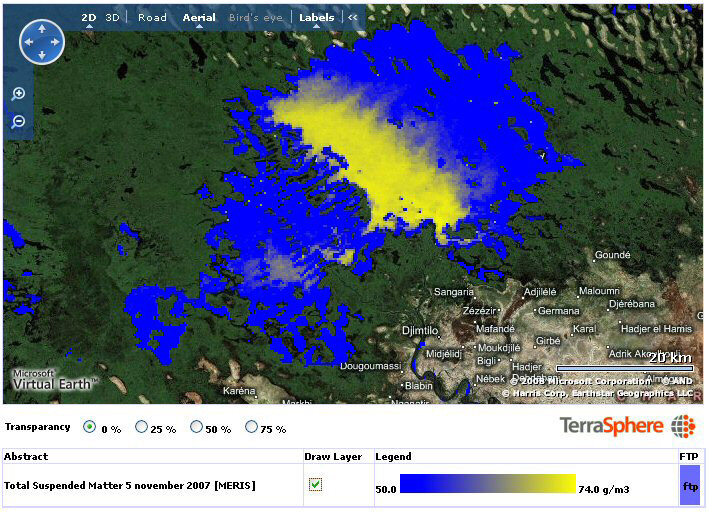
Countering their loss requires baseline information on wetland resources and effective monitoring programmes, but because they are often made up of complex and impenetrable terrain monitoring them is very difficult.
In this context ESA carried out the GlobWetland project from 2003 to 2008 in order to demonstrate how employing satellite data can support the inventorying, monitoring and assessing of wetland ecosystems. The project was carried out in collaboration with the Ramsar Convention – an international treaty for the conservation and sustainable use of wetlands.
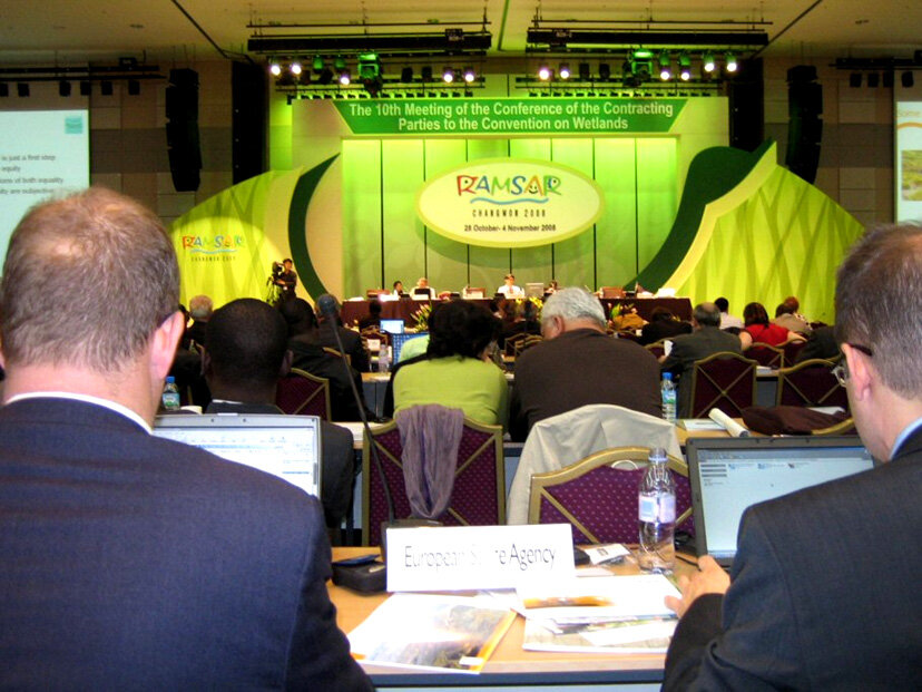
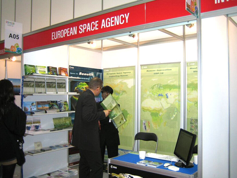
ESA recently presented the results and findings of GlobWetland with a side event at the main policy-making forum of the Ramsar Convention on Wetlands, the Tenth Meeting of the Conference of the Contracting Parties (COP 10).
The COP 10, held in Changwon, Republic of Korea, from 28 October to 4 November 2008, addressed the importance of further developing and intensifying internationally coordinated actions for the conservation of wetlands. More than two thousand wetland specialists from around the world attended the Conference entitled 'Healthy Wetlands, Healthy People'.
During the COP 10, Ramsar adopted 33 resolutions, which includes the Strategic Plan that specifies measures to implement the international treaty for wetlands conservation from 2009 to 2014, and the 'Changwon Declaration on human well-being and wetlands'.
At its side event, ESA announced it will initiate a follow-on GlobWetland project, planned for 2009, and consulted with attendees about how the project could help fulfil the newly adopted Ramsar strategies. The implementation of these will require international, national, and local bodies involved in the implementation of the Convention to rely on suitable geo-information to better understand wetland areas, complete national inventories, perform monitoring activities, carry out assessments and put in practice suitable management plans based on up-to-date, reliable information.
Participants of the side event acknowledged the efforts and resources assigned by ESA in promoting and demonstrating the benefits of Earth Observation (EO) technology for the Ramsar Convention.
Speaking at the side event, Demetra Spala of the Hellenic Ministry of Environment, Planning and Public Works, said that Greece will develop a monitoring protocol using the technology demonstrated in the GlobWetland project.
"We will recommend to the Ramsar Secretariat and Contracting Parties to adopt these methodologies. The benefits are multiple. They would improve our knowledge for more efficient decision making and facilitate the reporting to the Convention," Spala said.
Dr Heather MacKay, Chair of the Ramsar's Scientific and Review Panel (STRP), said: "EO could be a cost-effective and very productive tool for the Convention. The technology is ready and mature enough for uptake on a certain number of areas. The STRP sees huge value for all Parties involved in the implementation of the Convention at all scales from global to regional, national and local scales."
With the follow-on of the GlobWetland project, funded by the Agency’s Data User Element, ESA will strengthen its collaboration with the Ramsar Secretariat and wetland managers to further increase the operational use of EO technologies in support of the Convention and contribute to the set up of a Global Wetland Observing System (GWOS), one of the main objectives of the Ramsar Strategic Plan.
The Ramsar Convention on Wetlands was established in 1971 as an inter-governmental treaty aimed at establishing a framework for the stewardship and preservation of wetlands. Today more than 1822 wetlands have been designated as Wetlands of International Importance, a total area of 168 million hectares. The Convention's 158 national signatories are obliged to report on the state of the wetlands for which they are responsible.