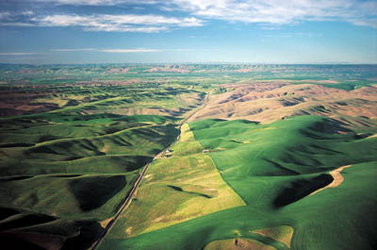
Water vapour and clouds
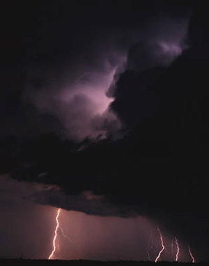
Invisible water vapour - also called humidity - is actually the largest single greenhouse gas. Water vapour also forms an important link between the land and ocean; it is a carrying mechanism that transports energy around the globe and, therefore, a major driver of weather patterns - a fact demonstrated spectacularly by typhoons and hurricanes powered by tropical evaporation.
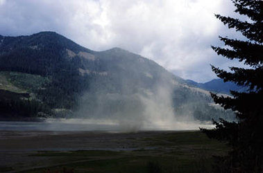
However, water vapour concentration varies strongly in space and time across the Earth, as it evaporates up from warm water surfaces and then falls back down again as precipitation. Space-based monitoring is the only effective way to assess water-vapour levels on a global basis and Envisat is especially well equipped for the task.
MIPAS, SCIAMACHY and GOMOS between them return vertical water vapour concentration profiles between the surface and a 100 km up. MERIS records the total water-vapour column abundance below it, while the MWR gathers data on atmospheric humidity through measuring distortion in microwave signals propagated through the air.
When water vapour condenses in the atmosphere it forms clouds, another crucial but poorly characterised element of the climate system. Sixty per cent of the Earth’s surface is typically covered by clouds at any one time, which variously exert cooling or warming effects depending on location, the time of day, the seasons and the regional weather.
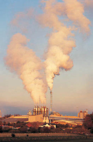
Bright cloud tops block solar energy from reaching the surface by reflecting it straight back to space, while thick cloud bodies absorb and scatter heat energy radiating out from the Earth’s surface. So if total cloud coverage increases - due perhaps to global warming or increased aerosol loading - would that cool or warm the planet overall? We cannot be sure, yet. Clouds represent something of a blind spot in current climate models.
Envisat is making good that gap in knowledge, returning detailed characterisations of cloud types and properties. AATSR’s dual-view radiometer design provides stereoscopic images of cloud tops and interior structure. Data acquired by individual AATSR spectral channels gives information on a cloud’s temperature, thickness, particle size and whether it is composed of ice or water particles. Simultaneously, the MERIS optical and near-infrared sensor records cloud type, optical thickness, top-of-cloud radiance, reflectivity, radiance and height.
These combined observations will improve our knowledge of the role of clouds in global climate and may also improve weather forecasting accuracy in the near-term.