
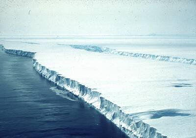
Cryosat's Antarctic Challenges
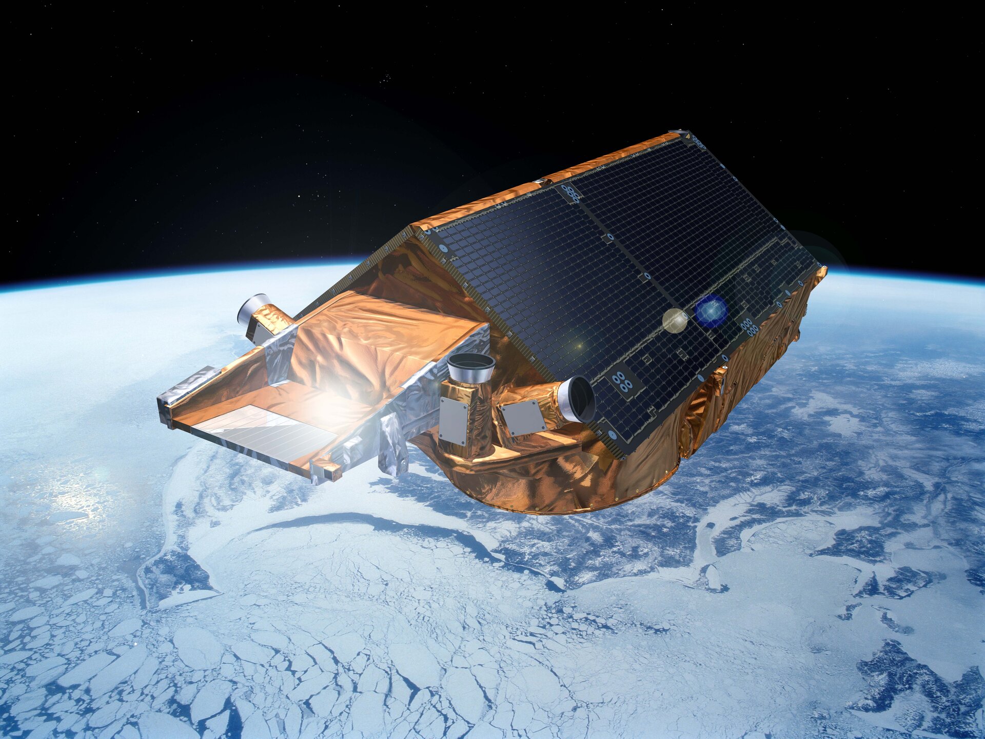
ESA’s CryoSat mission is gathering new information about the ice at both poles. It is helping to measure the extent and thickness of ice, both on land and floating in the oceans. Changes in the depth of ice can tell us more about how Earth is responding to climate change, and the data can contribute to more accurate predictions about what will happen in the future.
The satellite does not operate alone. ESA organises missions to both the Arctic and Antarctic to take measurements from the air and on the ice to compare with the data from CryoSat orbiting above. CryoSat carries an altimeter called SIRAL. It is designed to measure very precisely the elevation of polar ice – even around the edges of ice sheets, which are difficult to observe from space because of their steep slopes. One campaign back on Earth involved taking measurements from the Polar-6 aircraft. It carries the ASIRAS radar, which mimics CryoSat’s SIRAL. Ground-truth measurements are also collected for comparison.
CryoSat’s mission reaching latitudes of 88° north and south on every orbit put particular demands on the design of the satellite. It was impossible to avoid exposing all parts to the full heating power of the Sun, at least some of the time, while at other times half of the satellite would have been in permanent shadow for weeks.
Unlike most satellites, CryoSat does not have any deployable solar panels; in fact the satellite has no moving parts at all, except for some valves in the propulsion system. This enables a very significant cost saving, but does pose some problems for the provision of adequate solar power in CryoSat's unusual orbit. The solar panels are rigidly fixed to the satellite body, forming a 'roof' with a carefully optimised angle, to provide adequate power under all orbital conditions
The other area that received particular attention was the mounting of CryoSat's two main instrument antennas. Any distortion in the support of the antennas would have caused errors to creep into the calculated angle of arrival and so the elevation of the surface. This represented a significant challenge – one that was met by designing the structure to be intrinsically stable and providing auxiliary attitude measurement sensors directly mounted onto this structure.
.
