
Mapping glacial ice on the move
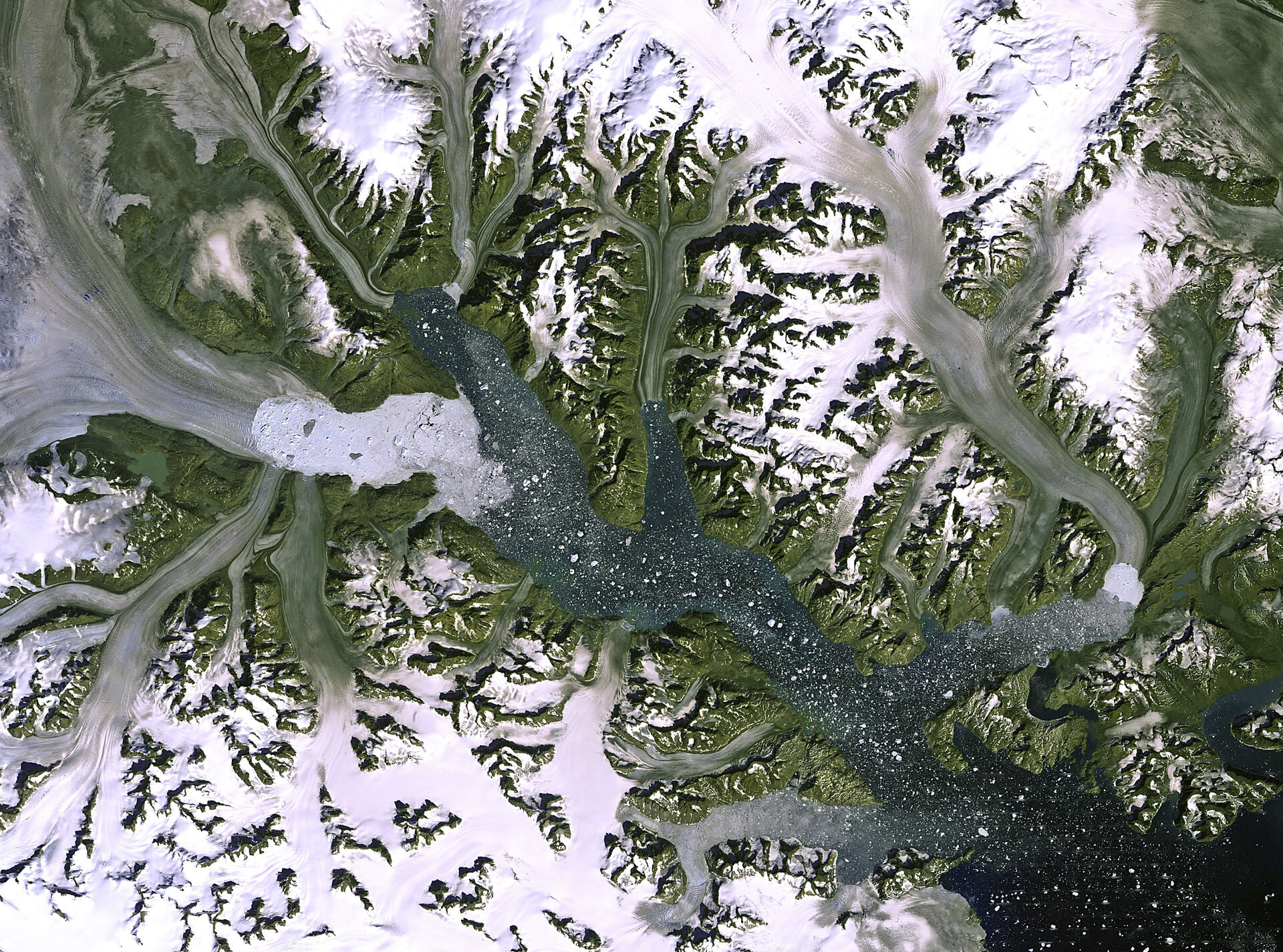
There are an estimated 160,000 glaciers all over the planet. Observations from space, and funding from ESA, are helping to build a global picture of glaciers at the polar ice caps and at altitude around the world. The GlobGlacier project was a three-year endeavour completed in 2010, and since then the Glaciers CCI project under the Climate Change Initiative (CCI) has taken up the challenge. Glaciers are being studied very carefully in relation to climate change, because they are extremely sensitive to changes in temperature.
Glaciers are large stores of freshwater, and their behaviour – particularly recent accelerated melting - can tell us new information about local and global conditions. Efforts to map all of the world's glaciers have been going on since the 1970s, but ESA's projects, run by international consortia, have identified regions where data were absent.
GlobGlacier was a project under the Data User Element and combined remote sensing data with in situ observations from locations all over the world. Archived data from the US Geological Survey Landsat satellite was particularly important for identifying significant areas, while information about the topography of the landscape was provided by the Advanced Spaceborne Thermal Emission and Reflection Radiometer (ASTER) aboard NASA's Terra satellite.
GlobGlacier contributed to the Global Land Ice Measurements from Space (GLIMS) project that grew out of the ASTER science team. GLIMS wants to characterise glaciers by surface area, surface velocity, geometry, and snow line elevation. The GLIMS website combines different datasets, including space-based elements.
The Glaciers CCI is collaborating closely with GLIMS to avoid any duplication of work. One of the key products of the Glaciers CCI is for determining glacial area. This can be done with automated methods, but requires human intervention for certain corrections and omissions. One of the challenging areas for determining glacial area is on the fringes of the Greenland ice sheet. The Glaciers CCI has developed a classification system for indicating how closely linked to the ice sheet the different glaciers are – ice sheets being defined as areas of ice cover extending to more than 50,000 square kilometres - to help show the difference between changes to the ice sheet and changes to the glaciers over time. This system has already contributed to published science results.
