
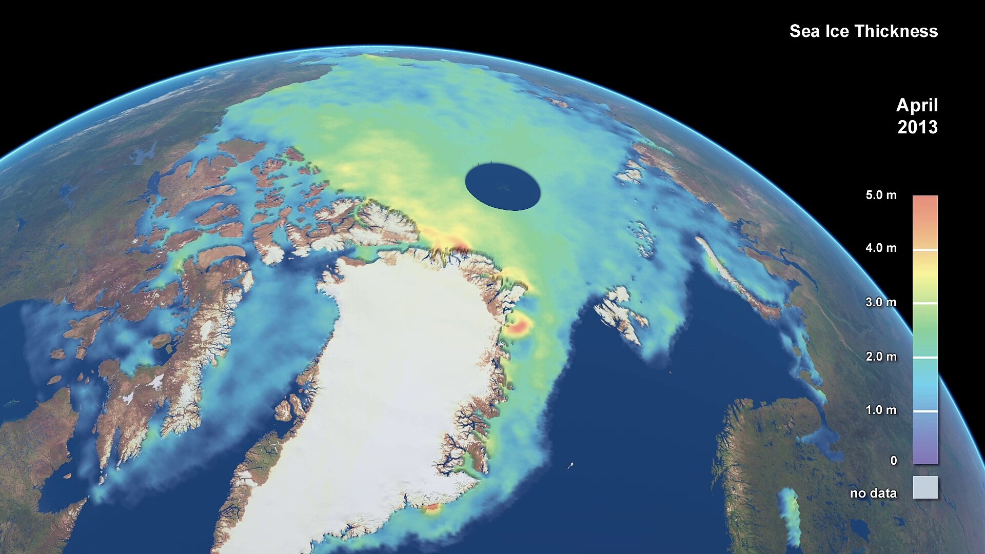
Watching ice at sea
Sea ice extends over millions of square kilometres during the Arctic and Antarctic winters. CryoSat has produced new more accurate maps of sea ice thickness, and the movement of sea ice is also important. The SMOS (Soil Moisture and Ocean Salinity) satellite has also produced valuable information about sea ice, and its role in the water cycle.
Where the sea ice is, and where it melts, influences all the currents of the oceans, making the poles warmer and the tropics cooler than they would otherwise be. The GlobICE project was developed by University College London under ESA’s Data User Element to track the movements of sea ice and in support of the World Climate Research Programme.
The project used data from Envisat’s Advanced Synthetic Aperture Radar (ASAR) to calculate the movements of different sections of sea ice. In each case, a pair of images was selected containing the likely start and end point of the motion of a number of tracking points, and the displacement vector of each tracking point was computed by correlating regions in the two images. GlobICE also used low resolution (62.5km) SSM/I Quikscat data to seed the high resolution (500m) correlation search. GlobICE produced records of sea ice motion on a nominal three-day timescale and 5km grid, across the entire Arctic Ocean basin.

GlobICE products could be validated with in-situ data from Arctic buoys. These buoys drift amongst the sea ice and transmit hourly or daily GPS locations. A number of Arctic buoy campaigns were performed during the main period of GlobICE data (2007-2010). These include the SEDNA and IABP programs. The limited number of buoys that were coincident with the GlobICE data could be used for the validation.
Storms can change the appearance of sea ice by fragmenting floes or rafting them together, so common features may be hard to find if the time gap between observations is too great. Storm frequency in the Arctic Ocean puts a time limit on useful repeat observations of about six days, with an optimal target of three days.
GlobICE processed all Envisat ASAR-WS imagery available over the Arctic for the winter months of 2004 to 2011. In addition to generating these products, the project provided quantitative calibration and validation of the products through comparison with both in situ and independent Earth observation data sets.
Sea ice information can be used for a wide range of research and practical applications. Apart from climate change research, sea ice can influence numerical weather prediction, oceanography and shipping routes.
