From satellites to the sea: VDES offers global link for ships
There are yawning gaps in our interconnected world: unable or unwilling to take up satellite communications, many smaller ships find themselves isolated on the high seas. ESA is part of an ambitious effort to upgrade an existing VHF system to provide wide-bandwidth two-way communications to all mariners.
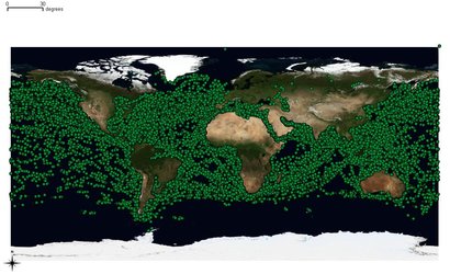
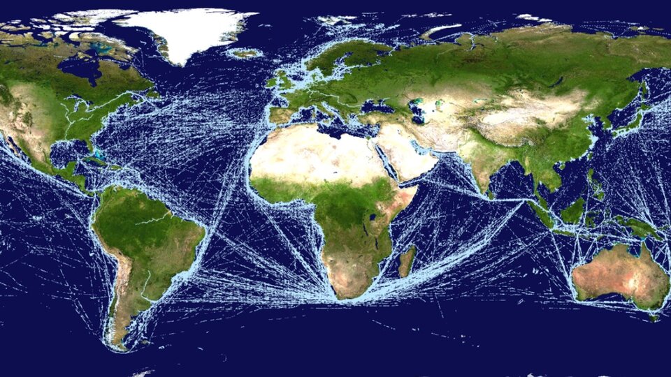
Google your nearest port and you will find a live map depicting ship movements. Such maps are based on the VHF-based Automatic Identification System (AIS): all commercial vessels and larger passenger ships above 300 tonnes are mandated to carry AIS transponders that continuously broadcast their identification and navigation data.
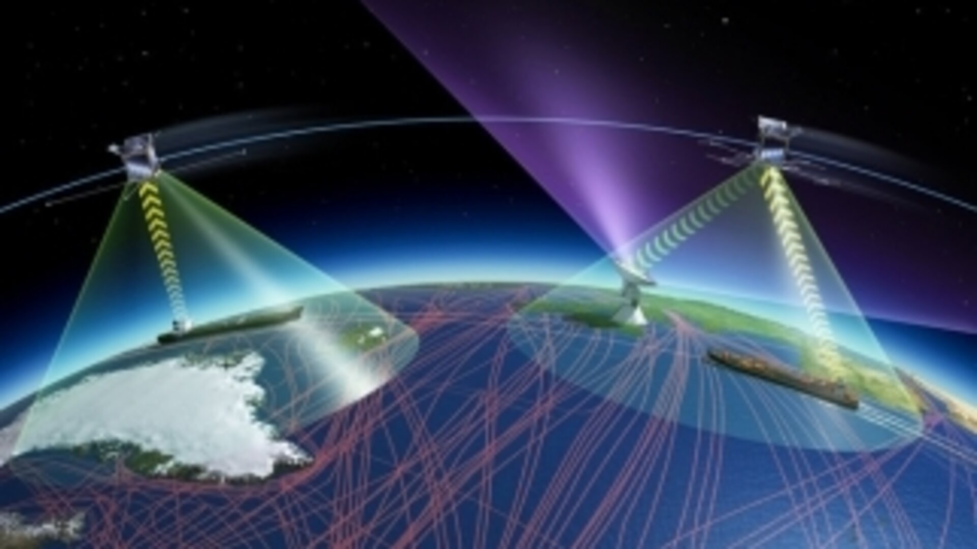
As well as serving as the maritime equivalent of air traffic control, AIS can also be used to send messages ship-to-ship and ship-to-shore. But it has a fundamental limitation: VHF radio signals are limited to line-of-sight horizontal range, in practice about 9 km for the smallest boats, extending up to 100 km for high-mounted antennas on the largest ships.
“Once vessels leave sight of port, or other ships, they were on their own,” explains communication system engineer Nader Alagha. “At least that was the case until 2010, when ESA demonstrated the detection and decoding of AIS signals from orbit, now being followed up by commercial companies through a system called ‘SAT-AIS’ – extending AIS coverage to deep sea vessels.
“So while AIS was not intended to operate with satellites, this achievement opened up the prospect of designing a next-generation maritime communications service specifically designed to integrate terrestrial infrastructure with satellites, to deliver two-way communication across the planet, to provide an important complement to both terrestrial and satellite-based AIS.
“The name of this successor system is the VHF Data Exchange System, or VDES for short. ESA is supporting Member State industrial partners who are contributing to working groups at the International Maritime Organisation and the International Association of Marine Aids to Navigation and Lighthouse Authorities to develop it and prove its feasibility, ahead of its proposal to the world radio conference of the International Telecommunication Union in 2019.”
VDES would have the advantage of working with existing VHF infrastructure, continuing to perform the key automatic notifications function of AIS on current frequencies, while shifting messaging and other data transmission to additional frequency bands.
The system would enhance vessels’ situational awareness, allowing mariners to downlink updated charts of ice and other hazards, to transmit information such as ships’ manifests to shore, or to pass augmented navigation signals to the Arctic: the north polar region beyond the reach of Europe’s EGNOS European Geostationary Navigation Overlay Service – whose satnav-sharpening signals are transmitted via geostationary satellites – around the curve of Earth.
Automated machine-to-machine monitoring of equipment, maintenance planning or local meteorology reports would also be facilitated, extending the ‘Internet of Things’ to the high seas.
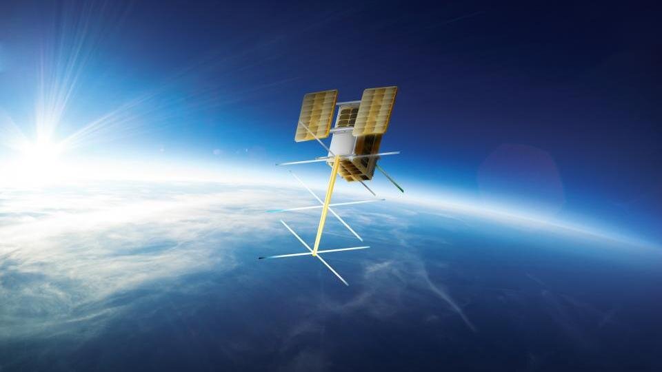
“ESA, together with industrial partners, is currently testing the downlink segment of VDES, using Norway’s Norsat-2 satellite,” adds Nader.
“A Norwegian Coastal Authorities vessel operating in the vicinity of Svalbard is receiving and recording the signals. Follow-up analysis will show message error rates, including how transmission is affected by variations in the ionosphere, the electrically-active outer layer of Earth’s atmosphere.”
This Norway-based test campaign began in July, supported by the Norwegian Space Center, Space Norway and the Norwegian Coastal Authority. It will be discussed at a workshop on VDES on 16 January, hosted at ESA’s technical centre in the Netherlands.