
Satellite-control software helps the oil and gas industry
A space spin-off company has developed software that uses conventional satnav signals to obtain accurate positioning with centimetre precision. Based on ESA satellite-control software, it has already attracted customers in the oil and gas industry.
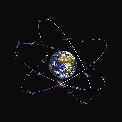
German start-up company PosiTim’s advanced computation system uses satnav signals from GPS and Glonass for accurate realtime positioning to centimetre accuracy. With additional processing, it reaches the millimetre level.
To develop the idea and turn it into a viable business, the company is being reared at ESA’s Business Incubation Centre (BIC) Darmstadt, which is part of ESA’s Technology Transfer Programme.
“We use geodetic receivers and rather than using only the code measurement, as conventional navigation devices do, we use both the code and the phase measurement, where the phase measurement is about 1000 times better. So instead of being at the metre level we can reach the millimetre level,” explains Tim Springer, inventor of the system and PosiTim CEO.
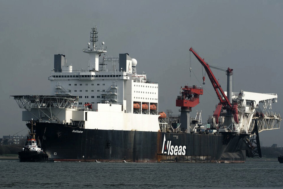
“Today we reach an accuracy of 10–20 cm in realtime, while it takes longer to reach millimetre precision. The system is already being used for the positioning of offshore ships and platforms.
“We plan to improve our algorithm and data processing to reach higher accuracy faster. Currently, we reach 1 mm horizontally and 4 mm vertically in post-processing. We have also demonstrated that realtime accuracies of 5 mm horizontally and 20 mm vertically are feasible.
“One of our most important activities at the BIC in Darmstadt is to reach higher accuracy in real time.”
Software algorithm spin-off from ESA satellite control
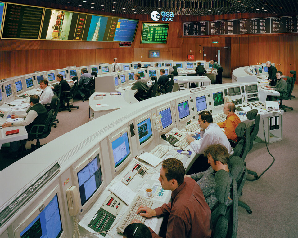
The software now being used by PosiTim originated with ESA’s satellite ground control systems. It is well known that using the highly accurate orbits and clocks of navigation satellites can determine a position very precisely. These have been used by ESA, NASA and several other government agencies and universities since 1992 as part of IGS, the International Global Navigation Satellite System (GNSS) Service.
From being highly specialised scientific systems these have now developed into a commercial niche market, with thousands of GNSS stations providing realtime services for surveyors and monitoring earthquakes and volcanoes.
PosiTim’s system is based on ESA’s NAPEOS GNSS software. NAPEOS provides realtime processing and is used by ESA for satellite control. As it originates from the scientific field, it offers higher precision than commercial packages.
“The NAPEOS software was developed for ESA’s European Space Operations Centre (ESOC) by Spanish company GMV,” says Prof. John Dow, Head of the Navigation Support Office at ESOC.
“Thanks to the modelling upgrades implemented over the past few years under the guidance of Tim Springer, it has become a tool that is showing the way forward in generating products of the highest accuracy from GNSS and other advanced data types, such as those used in many ESA missions in the navigation and Earth observation domains.”

“Our business plan is to commercialise NAPEOS and improve its precision significantly as well as reduce the processing time,” explains Tim Springer. “We plan to offer turnkey solutions with services for installation, configuration and training.”
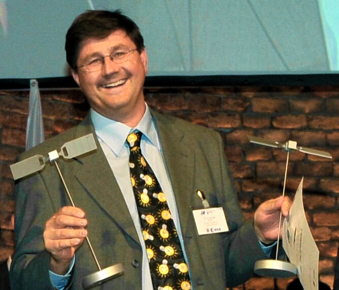
In 2009 Springer won an ESA Special Prize for his work and he was the Hesse regional winner in the European Navigation Satellite Competition.
More on ESA’s Technology Transfer Programme and its ESA Business Incubation Centres can be found on the ESA TTP website.
ESA Business Incubation Centres
ESA’s business incubation is one of the major initiatives of the Technology Transfer Programme Office (TTPO). As part of its endeavour to encourage the transfer and commercialisation of space technologies, four BICs have been set up in the Netherlands, Darmstadt and Oberpfaffenhofen in Germany, and near Rome in Italy.
The centres support selected entrepreneurs with comprehensive commercial and technical assistance to help them to start up businesses that use space technology in non-space industrial, scientific and commercial fields.
ESA’s Technology Transfer Programme Office (TTPO)
The TTPO’s main mission is to facilitate the use of space technology and space systems for non-space applications and to demonstrate the benefit of the European space programme to European citizens.
The office is responsible for defining the overall approach and strategy for the transfer of space technologies, including the incubation of start-up companies and their funding. For more information, please contact:
ESA’s Technology Transfer Programme Office
European Space Agency
Keplerlaan 1
2200 AG, Noordwijk
The Netherlands
Tel: +31 71 565 6208
Email: ttp@esa.int