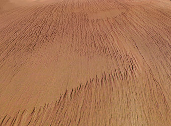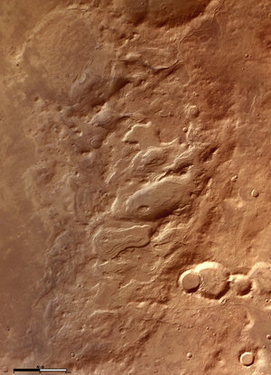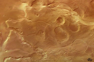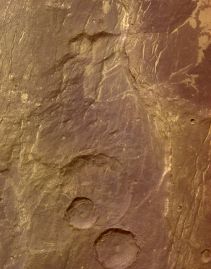
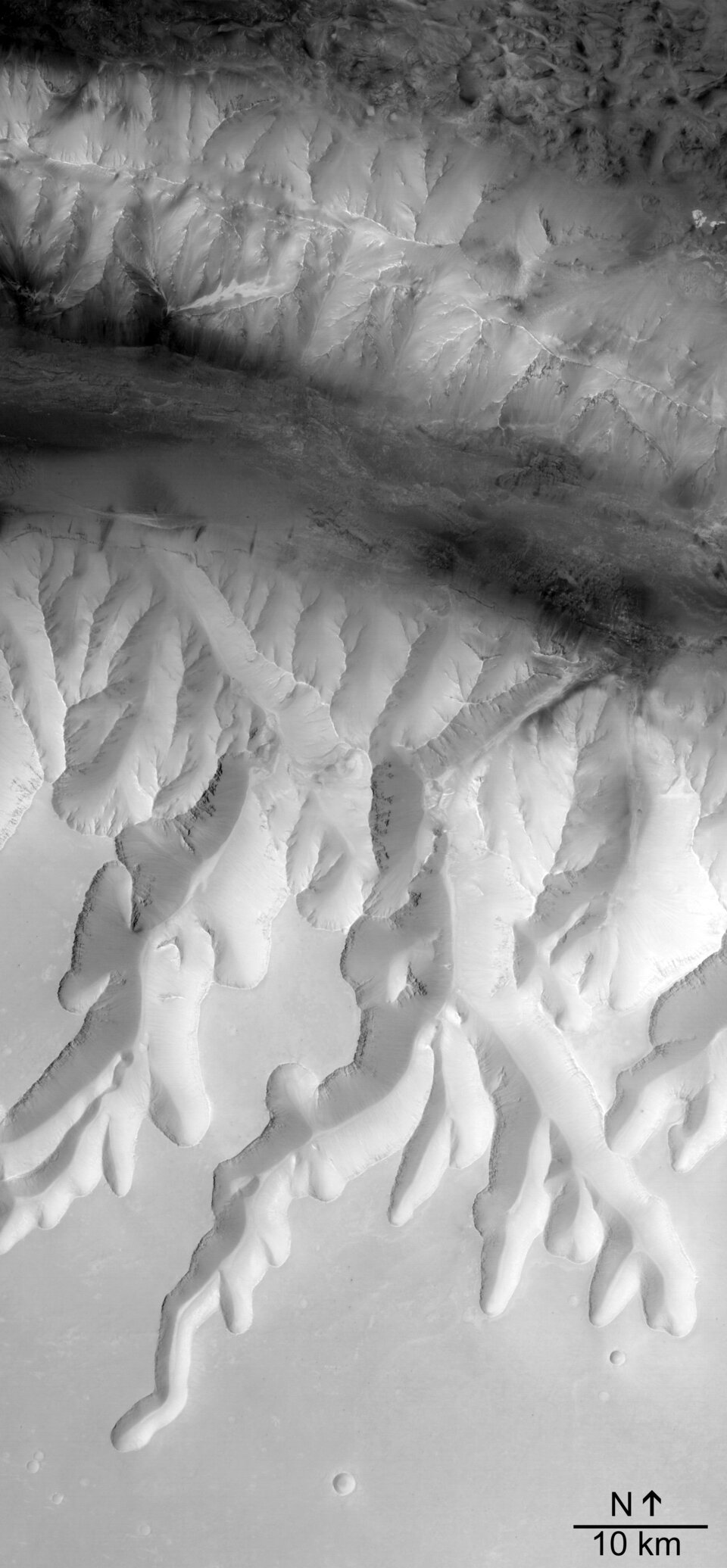
Louros Valles, south of Ius Chasma
These latest images show a system of sapping channels, called Louros Valles (named in 1982 after river in Greece), south of the Ius Chasma canyon which runs east to west on Mars.
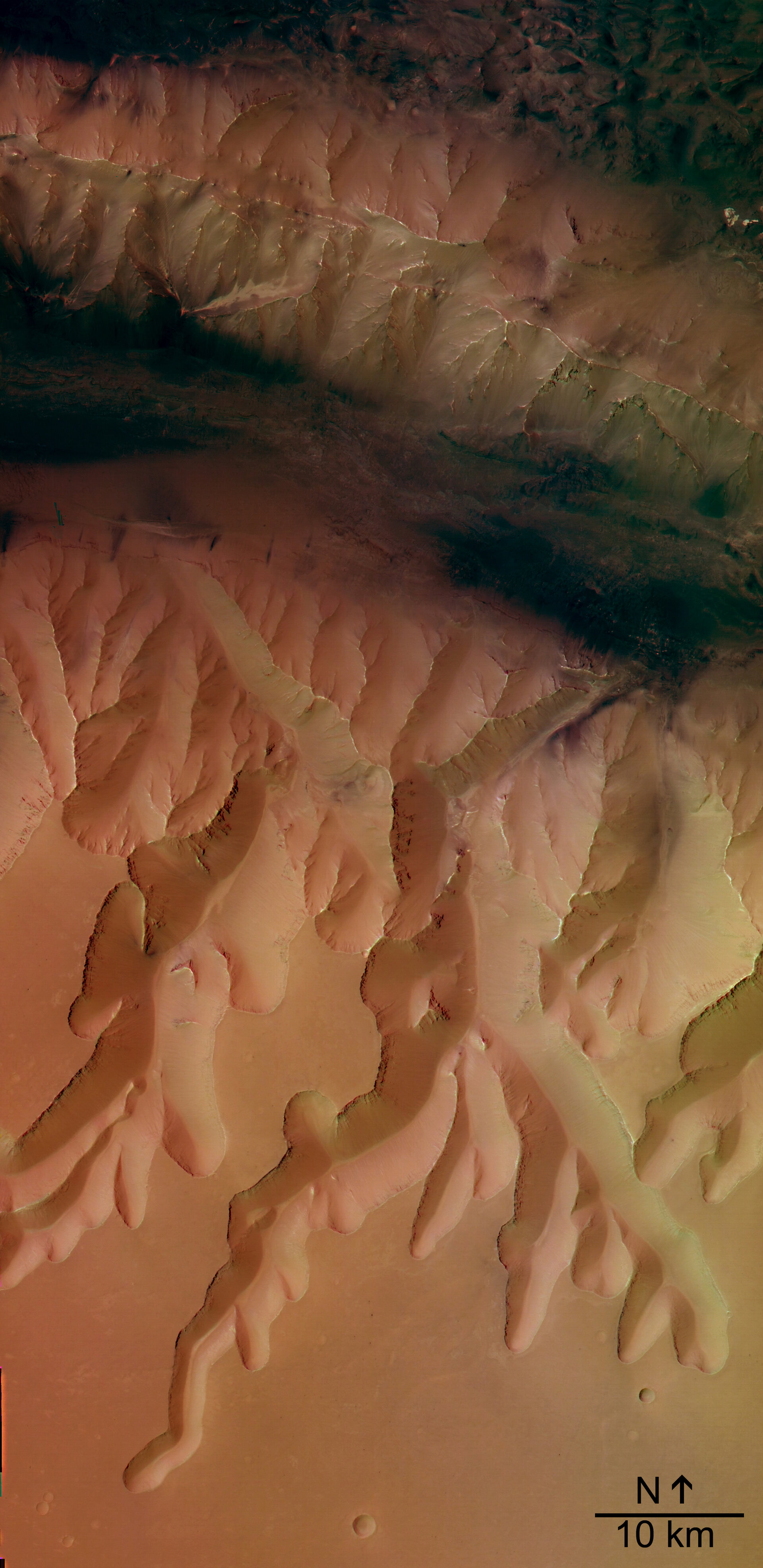
These images were taken by the High Resolution Stereo Camera (HRSC) on board ESA's Mars Express during orbit 97 from an altitude of 269 kilometres. The images have a resolution of about 13 metres per pixel and are centred at 278.8° East and 8.3° South. The colour image has been created from the nadir and three colour channels. North is at the right.
The Ius Chasma belongs to the giant Valles Marineris canyon system on Mars. The Geryon Montes, visible at the right of this image, is a mountain range which divides the Ius Chasma into two parallel trenches. The dark deposits at the bottom of the Ius Chasma are possibly related to water and wind erosion.
'Sapping' is erosion by water that emerges from the ground as a spring or seeps from between layers of rock in a wall of a cliff, crater or other type of depression. The channel forms from water and debris running down the slope from the seepage area.
This is known from similar features on Earth, but on Mars it is thought that most of the water had probably either evaporated or frozen by the time it reached the bottom of the slope.
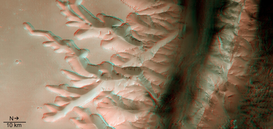
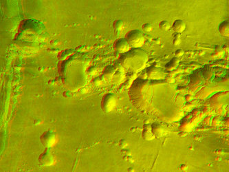
The 3D image has been created from the nadir (vertical view) channel and one stereo channel of the camera. North is again on the right. This image requires stereoscopic glasses to view.
For more information on Mars Express HRSC images, you might like to read our updated 'Frequently Asked Questions' list.