Satellites guide you to right places
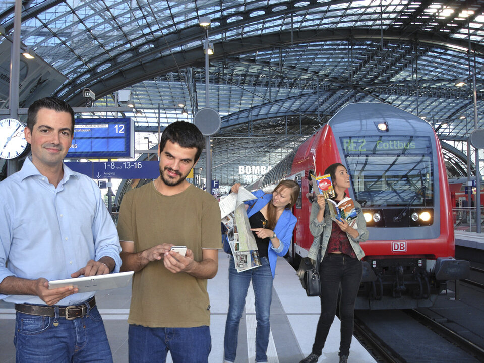
Visiting a new city and want to find something interesting to do? Just turn on a new smartphone satnav app from an ESA start-up company for your own personalised city tour.
Already covering 11 major European cities, the Farol City Guides app is an easy solution for people with a few hours to spare. In 2012, it was selected by the Portuguese city Porto as the official guide.
When preparing your personalised city tour, this intelligent app considers time available, location and what you would like to visit, adapting it in real time to your profile and surroundings.
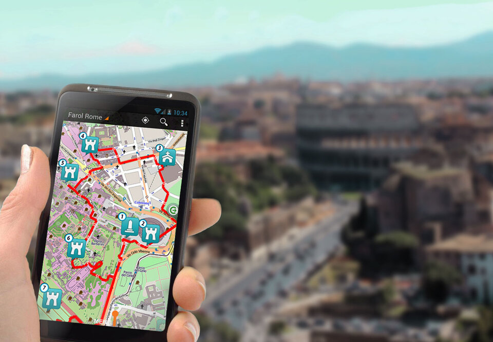
Most importantly, it works totally offline with all site-specific tourist information downloaded beforehand, avoiding expensive roaming costs.
The app quickly and easily provides the most of what a city can offer within a short stay. The idea came in 2009 when Bruno Fernandes was searching for information on what to visit in Rome on a weekend break.
“The overwhelming quantity of tourist information available on what to visit in the few days I was going to be in Rome was the trigger to start Farol,” says Bruno, who then founded the German company LatitudeN to develop the app.
“This is a common problem facing today’s travellers. Currently available travel apps offer only standard and dispersed information. There is also an enormous amount of information to search through on the Internet.
“Often, it takes too much time to find exactly what you are interested in, and especially if you just have half a day during a short visit.”
Backed by ESA business incubation
“As an entrepreneur, Bruno came to us to get support to turn his idea into a business,” explains Frank Zimmermann, Managing Director for cesah GmbH Centrum für Satellitennavigation Hessen, the company contracted to run ESA Business Incubation Centre Darmstadt, part of ESA’s Technology Transfer Programme.
“We helped him to mature his idea, provided an initial financial support, office space and expertise to get his company soundly started.”
With the support of the ESA centre, the idea was then developed into a complete product.
The key is satellite navigation

Farol City Guides optimise the time spent in a city, working through the most relevant sightseeing options for your preferences, and learning simultaneously from your present selections and previous choices.
“It is our mission to create a simple and smart way of feeling and exploring unknown environments, bridging the gap between the information available and the real travellers’ demands and expectations,” emphasises Bruno, adding that tourism, leisure and smart mobility are the core markets for the company.
The key is the availability of highly accurate satellite positioning signals. Using these, Farol City Guides estimate the times for the pedestrian to move around the locations to visit, optimising which routes to walk and showing them on the apps’ navigation map.
Integrating efficient and powerful artificial intelligence software for routing and profile estimation turn the smartphone app into a user-friendly easy-to-use ‘travel buddy’.
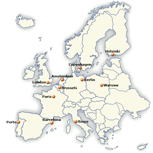
From Porto in the West to Helsinki in the East

Farol City Guides are already available for several important European city destinations, such as Paris, London, Berlin, Rome and Amsterdam.
Having established a strategic partnership with a leading European publisher of digital tourist content in 2011, they will soon cover the top 25 tourist destination cities in Europe. The app is currently available for Android. An iPhone version is to be available mid-September.
Bruno emphasises, “We are continuously researching and developing techniques to improve the positioning accuracy of Farol technology. The integration of Galileo signals will soon bring extra value to our product.”
As part of the company’s research and development strategy, LatitudeN collaborates with universities, research institutions and other small companies to stay at the forefront of intelligent use of satellite navigation for pedestrians, both for outdoor and indoor activities.
With its Farol City Guides, the company won the KIS4SAT award for knowledge-intensive small and medium companies in the Downstream Satellite Navigation sector in 2011.
A year later, Farol was selected by Eurisys as one of the 30 best-practice examples of collaboration on the satnav sector between city municipalities and small and medium companies, with the Farol Porto app being selected as the official city guide by the Portuguese municipality.
ESA has now supported more than 200 start-ups companies and entrepreneurs like LatitudeN, to realise their ideas for space technology and space-provided services to develop European businesses, through the Technology Transfer Programme’s eight incubation centres in six countries.
“Being supported by ESA BIC Darmstadt was a great help to get our system developed, and to get our business going. There we got access to industry contacts, technical expertise from ESA and were backed by the ESA image,” says Bruno.
Completing the incubation period with an operational system already covering many European cities, the company managed to raise funding from investors in April.
“The funding has made it possible for us to accelerate the further development of Farol,” adds Bruno.
“The next step is to cover the top 25 cities visited in Europe. This we expect to complete in 2013, after that we plan look beyond Europe, initially to cover major US cities.”