
Success Story: etamax - reports flooding in real-time
The G-WaLe system by etamax, developed in cooperation with DHI Wasser & Umwelt, offers improved prediction of flooding using Galileo. Holger Sdunnus, CEO of etamax, was the European Satellite Navigation Competition finalist for the region of Hesse in 2006.
Flooding is a worldwide problem that accounts for loss of life and tremendous economic, ecological, and social devastation. With climate change, the frequency of such extreme events is likely to rise.
During flooding events there is still a lack of highly dense and accurate real-time data on water levels in well-developed areas such as Europe and particularly in developing countries.
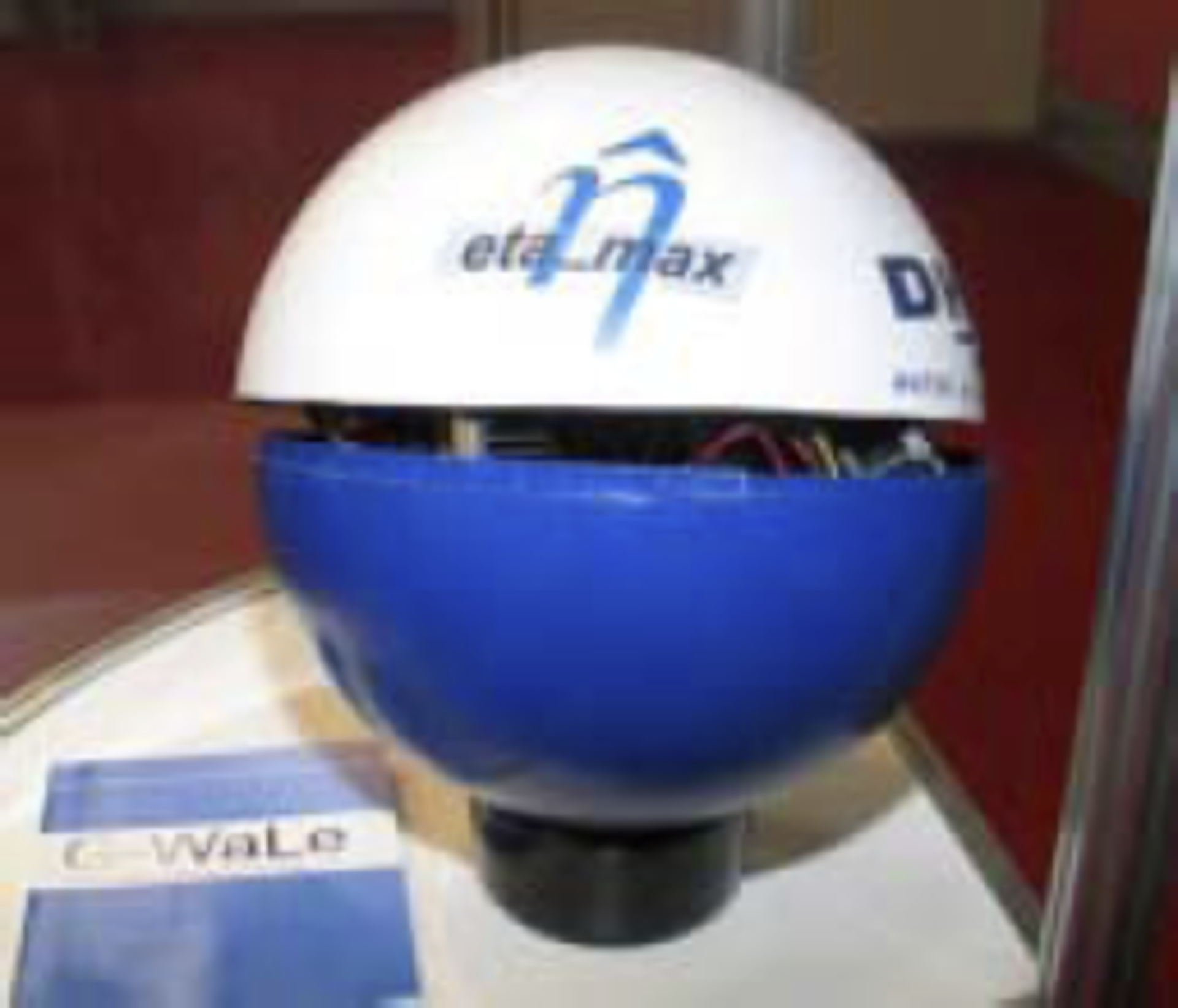
A set of G-WaLe ’floaters’ can be anchored in the river to provide real-time positioning measurements, which can then be correlated with a fixed reference station to a user data centre. The system can be easily dispatched by ground or air transport to an endangered area and can use satellite navigation services and data forwarding via GSM or satellite communication.

The project is currently underway at the Centrum für Satellitennavigation Hessen (cesah), a business incubation centre supported by ESA and located next to ESA’s Space Operations Centre ESOC in Darmstadt, Germany.
The G-WaLe system, which is in the proof of concept phase, has already successfully demonstrated the functions of the data chain system and measurements with GPS/EGNOS in a test environment. In-situ demonstrations are now about to start and the team is confident of implementing a proof-of-concept prototype by the end of 2008. The extension of the concept to offshore applications is currently under analysis.
