Iris for aviation
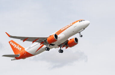
Iris is making aircraft flights greener and more efficient using a new satellite-based communication system, developed in partnership with satellite communications provider Inmarsat.
Currently, most aircraft are tracked by radar when over land and in coastal areas, and pilots communicate with air traffic control by voice. This technology is becoming outdated and there is an upcoming need for a technology revolution.
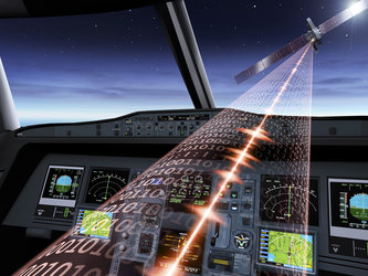
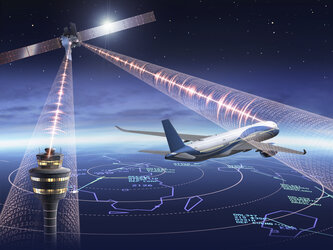
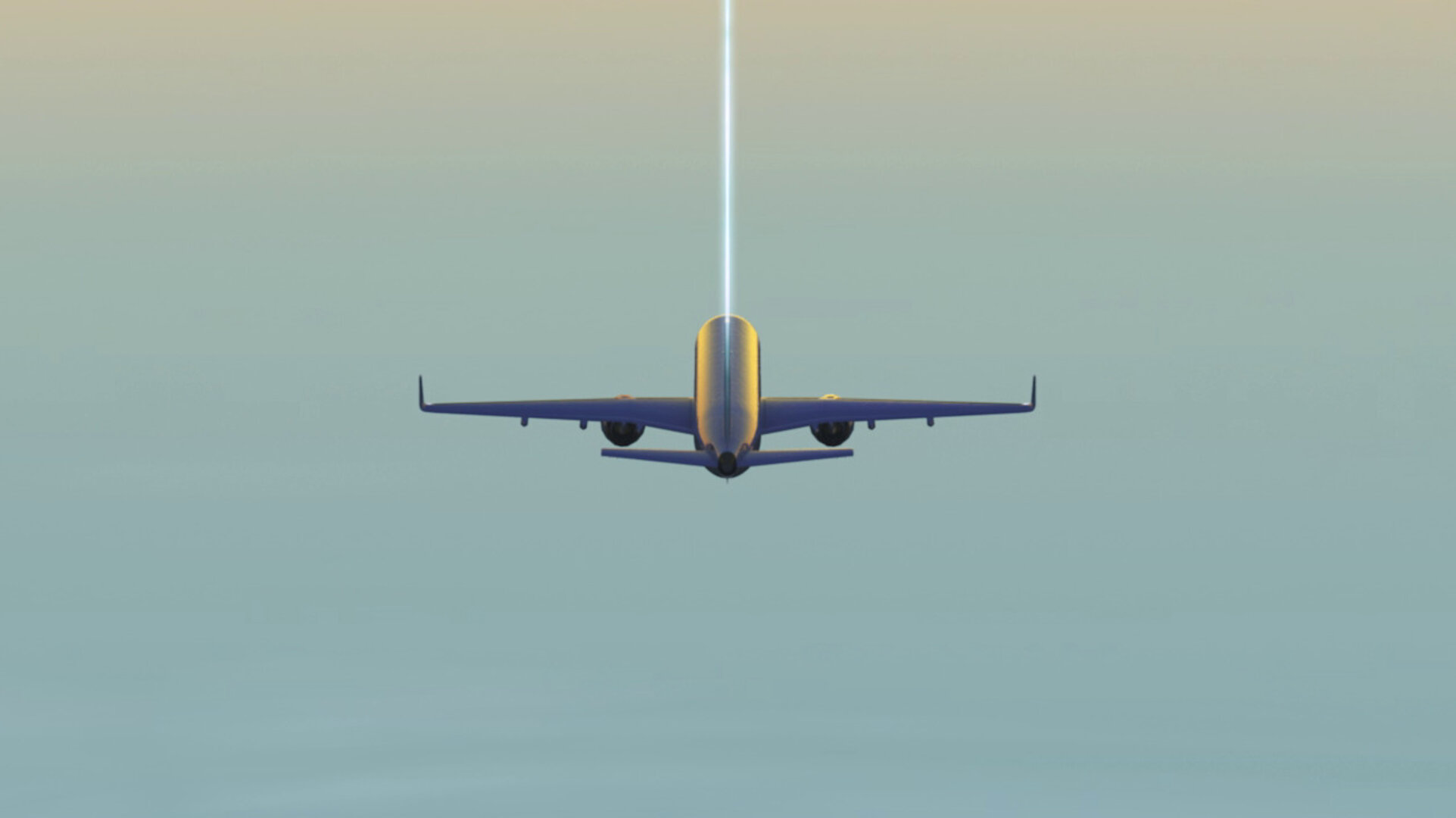
Introducing digitalisation, by fitting aircraft with Iris satellite data communication technology, enables air traffic controllers to manage the skies more efficiently using a high bandwidth satellite datalink between the aircraft and the ground.
Flight plans can be continually updated during the flight to maintain an optimal trajectory towards the destination. This allows air traffic controllers to schedule landings well in advance, maximising airspace and airport capacity, while minimising the fuel burned and its environmental impact.
Iris is a key contributor to the modernisation of air traffic management and will contribute to the target to achieve climate neutral aviation by 2050, which is a European 'Green Deal' goal.
As the world recovers from the coronavirus pandemic and the skies become more and more congested, air traffic controllers can use data communications to identify the most efficient way to manage the traffic and the flight paths, reducing incidences where pilots are instructed to circle above an airport. As a result, passengers will face fewer delays.
In addition, satellites can maintain a constant link with the aircraft, whether it is flying over land or sea. At present it is not always possible to adjust flight paths in response to adverse weather when an aircraft is flying over the ocean, and wide buffers must be maintained between aircraft, which can also result in delays and inefficient routes.
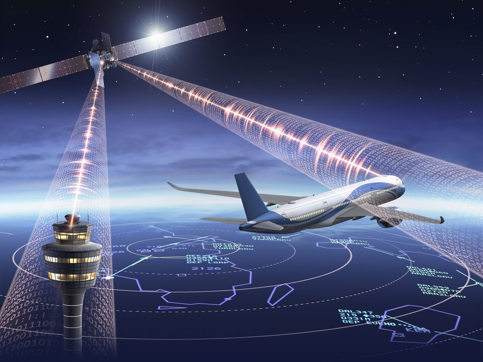
Satellite communication systems such as Iris are among the essential enablers supporting next-generation air traffic management systems in Europe, in line with the Single European Sky Air Traffic Management Research (SESAR) programme, under the leadership of the European Commission.
To deliver the Iris datalink service, ESA is working with Inmarsat and a consortium of air navigation service providers, avionics manufacturers and ground segment providers, in full coordination and cooperation with the SESAR programme for its validation.
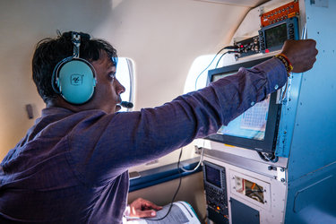
The first trial flights took place in 2018 and Iris is due to become operational on commercial flights across Europe at the start of 2024. It is also now ready to be assessed and expanded for use in other global regions such as Asia and the Americas.
The next phase of the project, Iris Global, will further develop the system, which could even be used to safely coordinate the flights of drones delivering medical supplies between hospitals or aid to remote communities.
By 2028, Iris will be well placed to enable flight optimisation across the globe and the datalink will become the primary means of communications between pilots and air traffic controllers, making flights greener and more efficient.