
|
ERS 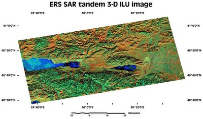 ERS's best known sensor, the Synthetic Aperture Radar (SAR) images the surface and its data can be used for mapping. 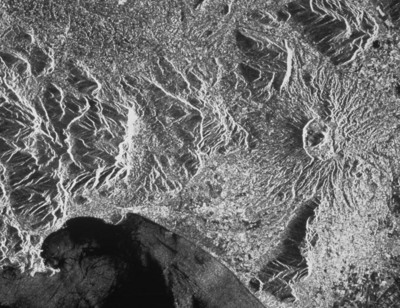 The image shows the Gaeta Bay on the west coast of Italy. The volcano of Roccamonfina is seen to the right. Due to the oblique illumination of the radar beam the morphology of the landscape is very much enhanced. The different tones of grey in the sea surface are due to local differences in the wind regime roughening the water in some places more than in others, typical of low wind speed weather conditions. |