
|
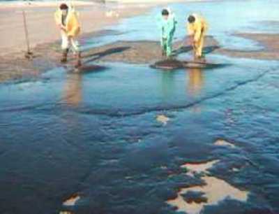
Aiuto! Si avvicina alla costa una chiazza di petrolio enorme! 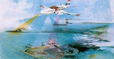 Fast delivery SAR products are proving to be of great value in the optimisation of air-borne surveillance resources, due to the large area they can image at any one time. Experiments show that in general slicks larger than 0.05 km2 can be spotted by both aircraft and spaceborne SAR with the same reliability. 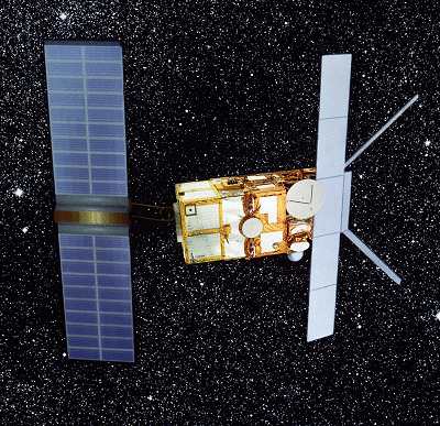 Like its predecessor ERS-1 (launched in July 1991 by Ariane 4, the ERS-2 satellite (launched on 21 April 1995 also by Ariane 4) monitors the ground day and night under all weather conditions thanks to its powerful sharp-eyed, cloud-piercing radars. ERS-2 also carries an instrument to help monitor the ozone layer. 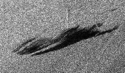 In a radar image, the ocean is not blue but black and white, and may also appear to have a lot of strange features. As a general rule, the brighter the sea surface, the rougher the sea (because wind speed is higher). But oil on the water dampens the rough surface and it becomes smooth again, and dark, as is shown in the image. 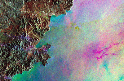 This coloured radar image of the ocean is composed of 3 images taken on 3 different days. In order to distinguish the information coming from each of these days, each image was given a different colour:
 |