SPOT
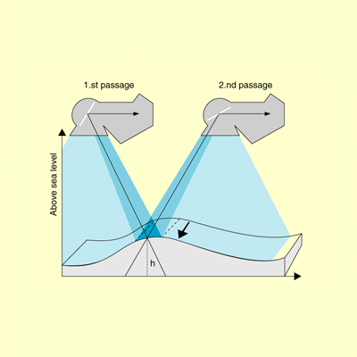
Stereoscopic sensing by SPOT is used in elevation calculations.
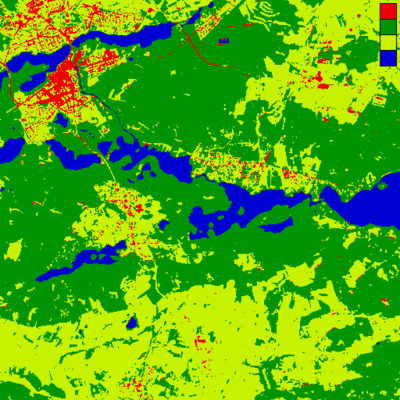
As SPOT has two visual and one near infrared channel it is ideally suited for vegetation mapping of small local areas.