
|
Waargenomen voorwerpen 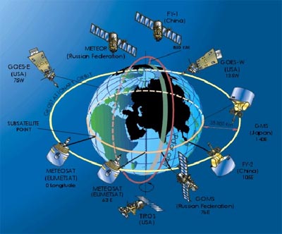 Meteorological satellite network: as at March 2002 the WMO community can rely on data from four polar orbiting and five geostationary satellites. Image: WMO 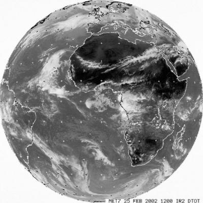 On the upper left image, the satellite is placed on an orbit relatively far from the Earth (± 36 000 km). This is why it is possible to see the "whole" planet. 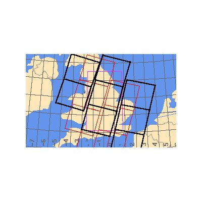 On this figure, the satellite orbit is much closer to the Earth (± 800 km). Each square (black and red) represents one image. When several images are joined to each other to form a bigger image, scientists talk about a 'mosaic' being created. 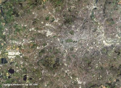 West London TM image. 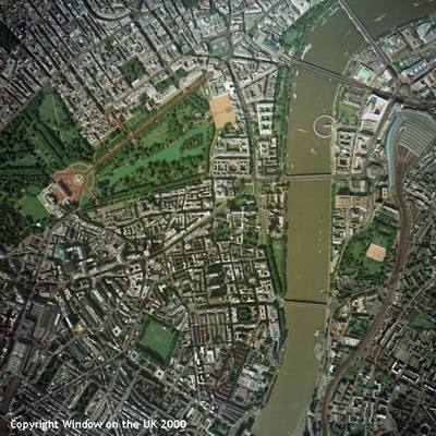 West London aerial map. 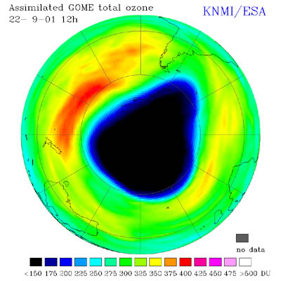 Ozone hole over the South Pole during September 2001 taken by GOME. Image: KNMI, The Netherlands |