| |
Foehn
|
| • | Vento di Foehn (http://www.esa.int/SPECIALS/Eduspace_Weather_IT/SEMM0Q3VU1G_0.html) |
|
| • | Ambiente di sfondo (http://www.esa.int/SPECIALS/Eduspace_Weather_IT/SEMG1Q3VU1G_0.html) |
|
Esercizi
|
| • | Lavori (http://www.esa.int/SPECIALS/Eduspace_Weather_IT/SEMM2Q3VU1G_0.html) |
|
| • | Foto dall’aereo (http://www.esa.int/SPECIALS/Eduspace_Weather_IT/SEMO3Q3VU1G_0.html) |
|
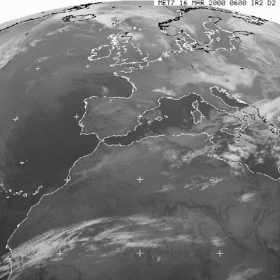
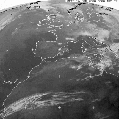
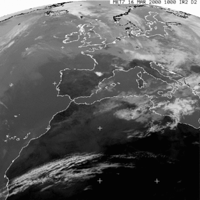
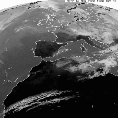
| • | Immagini NOAA (http://www.esa.int/SPECIALS/Eduspace_Weather_IT/SEM06Q3VU1G_0.html) |
|
| • | Video delle formazioni di nubi (http://www.esa.int/SPECIALS/Eduspace_Weather_IT/SEMS7Q3VU1G_0.html) |
|
| • | Cartine di superficie (http://www.esa.int/SPECIALS/Eduspace_Weather_IT/SEMN9Q3VU1G_0.html) |
|
| • | Corrente a getto (Jet Stream) (http://www.esa.int/SPECIALS/Eduspace_Weather_IT/SEMNAQ3VU1G_0.html) |
|
| • | Intervista con il co-pilota (http://www.esa.int/SPECIALS/Eduspace_Weather_IT/SEMICQ3VU1G_0.html) |
|
| • | Simulazione della situazione Foehn (http://www.esa.int/SPECIALS/Eduspace_Weather_IT/SEMZEQ3VU1G_0.html) |
|
| • | Trovare altri esempi (http://www.esa.int/SPECIALS/Eduspace_Weather_IT/SEMKGQ3VU1G_0.html) |
|
Links
|
| • | Satellite images from Sarepta (http://www.sarepta.org/index.php) |
|
| • | METEOSAT images from EUMETSAT (http://oiswww.eumetsat.org/IPPS/html/MSG/IMAGERY/IR039/BW/index.htm) |
|
| • | Surface maps (http://www.wetterzentrale.de/) |
|
| • | Internet Weather source (http://weather.noaa.gov/weather/ccworld.html) |
|
| • | NOAA (http://www.noaa.gov/) |
|
| • | European weather charts (http://www.meteo.uni-koeln.de/meteo.php?show=En_We_We) |
|
| • | Jet Stream (http://meteorology.lyndonstate.edu/data/web/upperair/jet/globjet.gif) |
|
| • | Forecast Charts for the Jet Stream (http://www.ecmwf.int/products/forecasts/d/charts) |
|
Videos
|
| • | Cloud video (http://esamultimedia.esa.int/multimedia/eduspace/FohnFilm.avi) |
|
| • | Lakes of Albani and Nemi video (http://esamultimedia.esa.int/multimedia/eduspace/Nemi.avi) |
|
| • | Plains of Po river valley and foothills of the Alps video (http://esamultimedia.esa.int/multimedia/eduspace/Alperne.avi) |
|
| • | Cloud cover south of Hanover, Germany video (http://esamultimedia.esa.int/multimedia/eduspace/Hannover.avi) |
|
| • | Development of weather systems animation (http://esamultimedia.esa.int/multimedia/eduspace/500Hpa.avi) |
|
| • | Interview with co-pilot (http://esamultimedia.esa.int/multimedia/eduspace/Fohn_26.avi) |
|
| • | Mathematical simulation of foehn
situation, 15-16 March 2000 (http://esamultimedia.esa.int/multimedia/eduspace/foehn_simul_000316_grid1.avi) |
|
Eduspace - Download
|
| • | LEOWorks 3 (http://esamultimedia.esa.int/multimedia/LEOWorks3.exe) |
|