-
StoryScience & Exploration
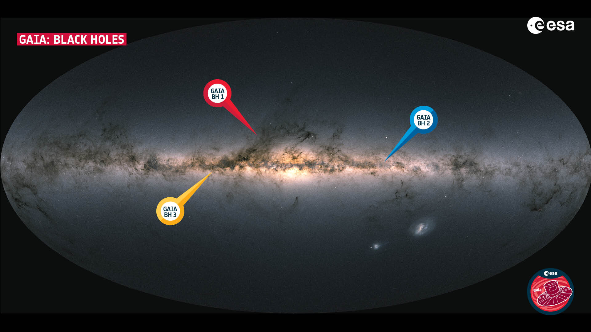
Sleeping giant surprises Gaia scientists

-
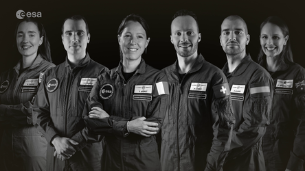
StoryScience & Exploration
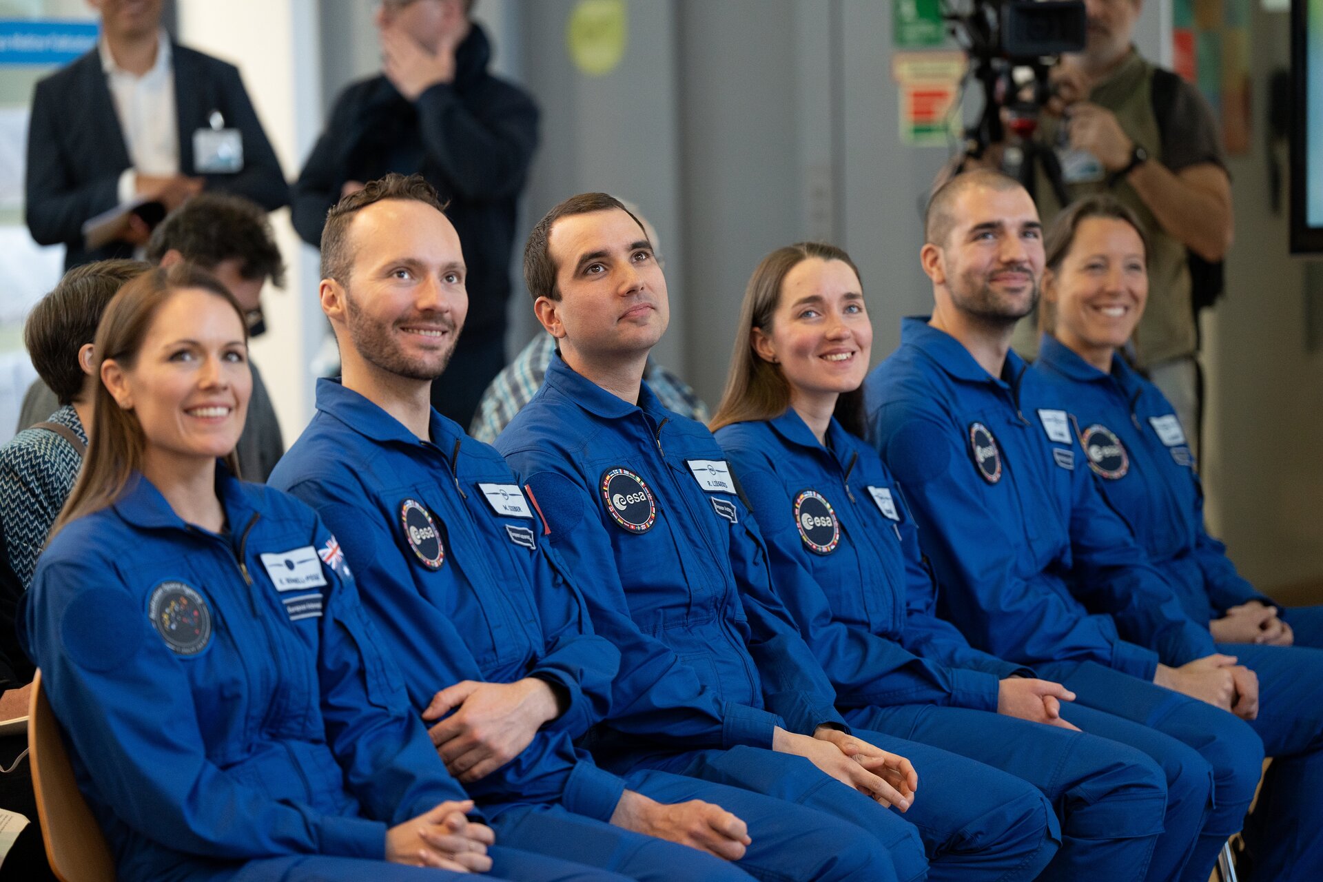
ESA astronaut graduation: launching into the future
-
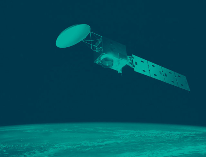
StoryScience & Exploration
Juice’s first year in space: “it’s real now”

-
StoryAgency
Discover ESA Live: a gateway to ESA’s universe for schools

ESA Programmes
ESA and You
In the spotlight


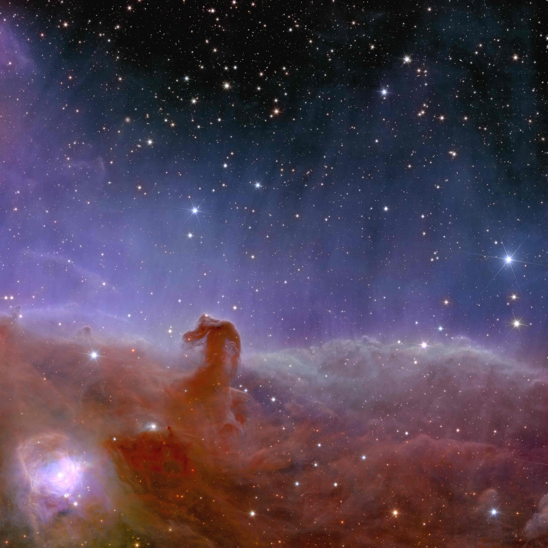
Image
Science & Exploration
Euclid’s view of the Horsehead Nebula
Recommended


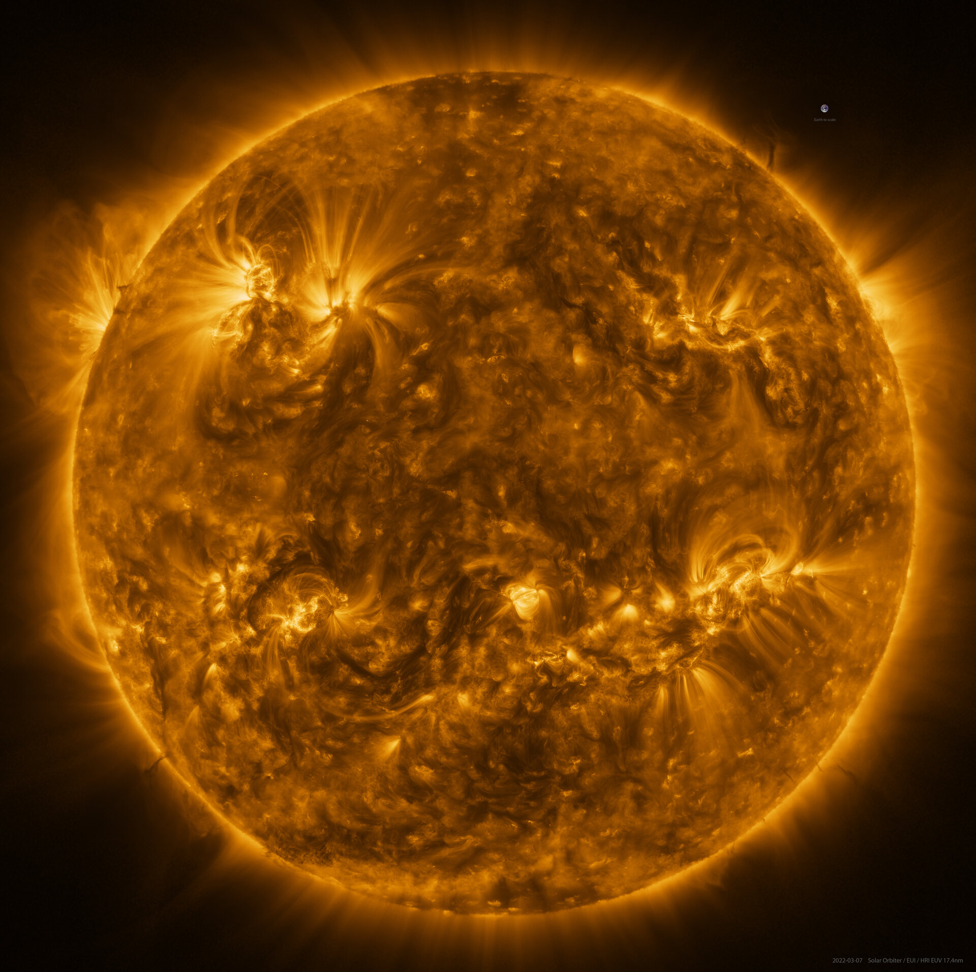
Image
Science & Exploration
The Sun in high resolution