GIOVE-A laser ranging campaign successful
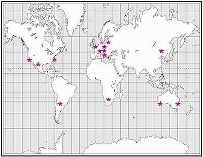
Fourteen laser ranging stations participated in a campaign to track ESA’s GIOVE-A satellite during the spring and summer of 2006, providing invaluable data for the characterisation of the satellite’s on-board clock. The campaign was coordinated by the International Laser Ranging Service (ILRS) and the GIOVE Processing Centre at ESA-ESTEC.
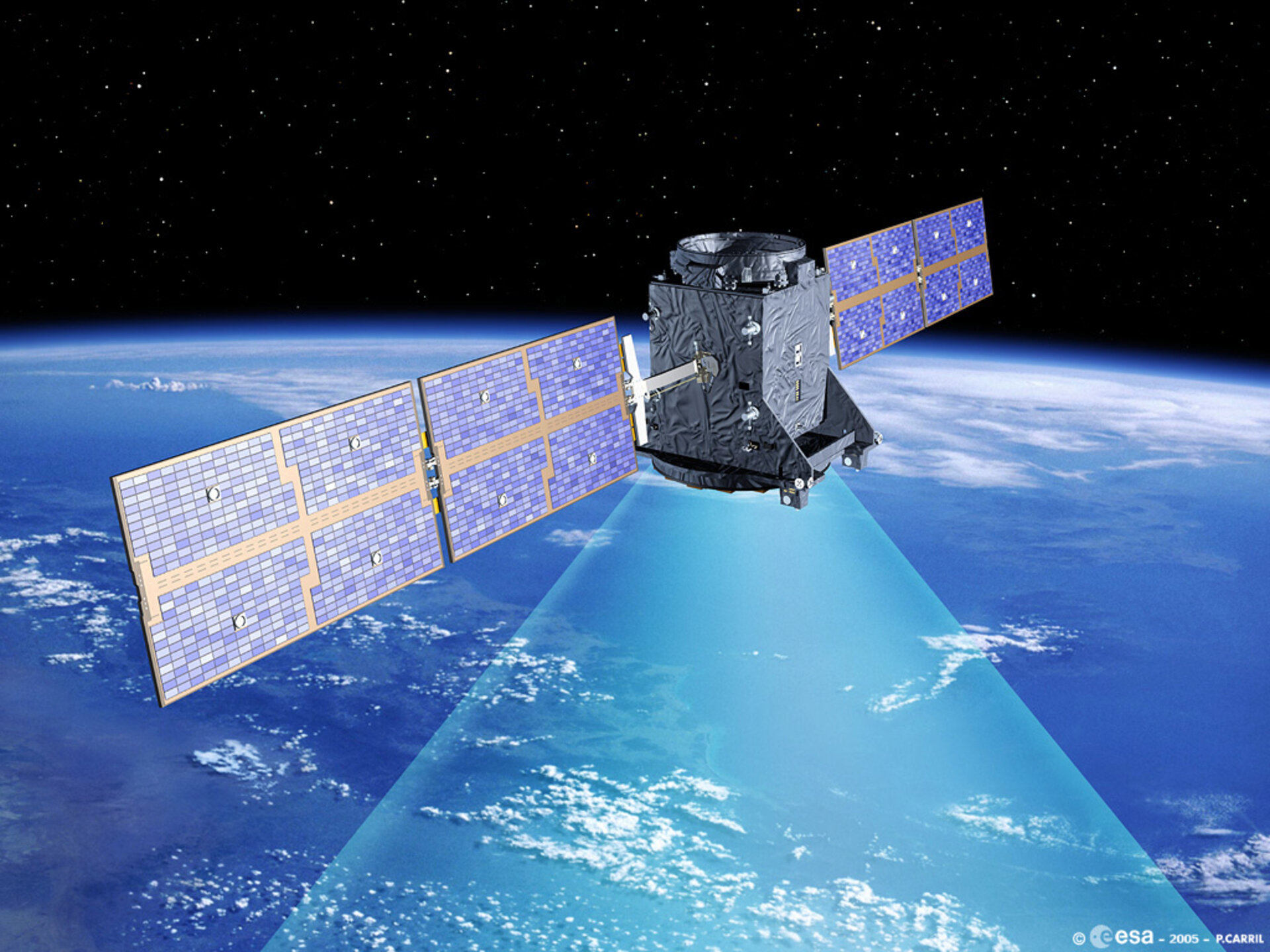
GIOVE-A, developed by Surrey Satellite Technology Ltd (UK), was launched from Baikonur Cosmodrome on 28 December 2005 and placed into a medium Earth orbit with an altitude of 23 260 km. Carrying a payload consisting of rubidium clocks, signal generation units and a phase array of individual L-band antenna elements, GIOVE-A started broadcasting Galileo signals on 12 January, securing the frequencies allocated by the International Telecommunications Union for the Galileo system.
The performance characterisation of the on-board clocks is significantly enhanced by the use of Satellite Laser Ranging (SLR), a high precision technique for orbit determination that is independent of the navigation signal generation. The technique is based on a global network of stations that measure the round flight time of ultra short laser pulses to satellites equipped with Laser Retro Reflectors (LRR). Laser ranging provides instantaneous range measurements of millimetre-level precision which can be used to derive accurate orbit data.
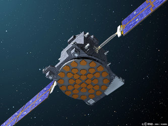
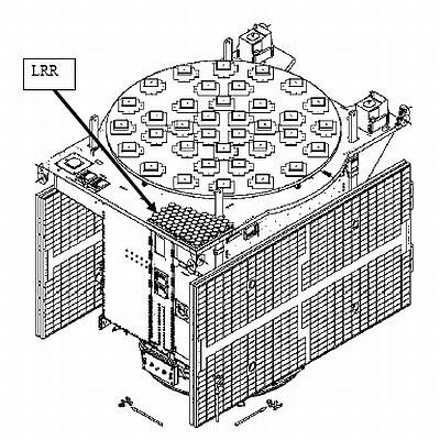
GIOVE-A is equipped with a LRR having 76 corner cubes, manufactured by IPIE of Russia, which provides a return energy 40% higher than GPS reflectors. The use of SLR data allows a more robust orbit determination, and thus a more accurate clock characterisation. In addition, certain satellite properties relevant to navigation, such as the offset between the centre of mass and the centre of the navigational phase centre, can be verified and calibrated.
The International Laser Ranging Service (ILRS) has agreed to support the GIOVE-A mission by providing SLR data during several tracking campaigns coordinated with the GIOVE Processing Centre at ESA-ESTEC.
The first of these tracking campaigns took place between 22 May and 24 July 2006, with the participation of 14 SLR stations, distributed globally. In addition to confirming the good health of the LRR on GIOVE-A after launch, the SLR data has been essential for a health check and a preliminary performance characterisation of the on-board rubidium clocks.
|
||||||||||||||||||||||||||||||||
With GIOVE-A, ESA is validating the critical new technologies needed for the Galileo system and preparing for the next phase of In-Orbit Validation (IOV). For this next step, four satellites will be launched. On completion of IOV, the four satellites will become the initial components of the operational Galileo constellation.
Galileo is a joint initiative of the European Commission and the European Space Agency. It is the first satellite positioning and navigation system specifically designed for civilian purposes and will offer state-of-the-art services with outstanding performance and guaranteed accuracy, integrity, continuity and availability.