Campaign reveals how forest change can be monitored from space
A further campaign to support the development of the candidate Earth Explorer BIOMASS mission recently took place in Sweden. The campaign set out to demonstrate how the mission would be able to monitor changes in forest biomass over time.
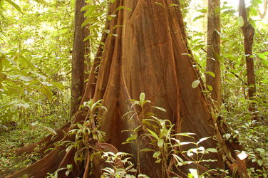
The BioSAR 2010 campaign is the third of its kind, building on two similar experiments to show how spaceborne radar could map stocks of boreal forest. Another campaign was also carried out in French Guiana in 2009 to demonstrate the value of the candidate mission in measuring tropical forest.
The main objective of the BIOMASS mission is to provide consistent global estimates of forest biomass, its distribution and changes over time. The mission is expected to greatly improve our knowledge of carbon stored in forests, and better quantify carbon fluxes to and from the atmosphere and land. To reach this goal, the mission, if selected for implementation, would exploit the longest radar wavelength available to Earth observation – P-Band – and its unique sensitivity to forest biomass.
The BIOMASS mission is currently undergoing feasibility study along with two other candidate missions vying to be ESA's seventh Earth Explorer mission: CoReH2O, which aims to measure fresh water stored in snow for a better understanding of the water cycle, and PREMIER, which aims to quantify the processes controlling atmospheric composition in the mid- to upper-troposphere and lower stratosphere.
In support of the development of these mission concepts several field campaigns are carried out to test and demonstrate how the mission would work in space. This is done by taking measurements with instruments similar to those proposed for the satellite but installed on aircraft, in conjunction with taking a host of ground-truth measurements.

The recent BioSAR campaign builds on data collected in the earlier experiments to measure boreal forest, further addressing the scientific and technical goals of the BIOMASS mission. In particular, the campaign focused on the ability of the mission to detect and map temporal and spatial changes such as tree growth, which is an intrinsic element of the mission concept.
The campaign was carried out on behalf of ESA by a team of researchers from the Swedish Defence Research Agency (FOI) and the French Office National d'Ėtudes et de Recherches Aérospatiale (ONERA). It took place over the Remningstorp forest test site in southern Sweden and involved the same airborne radar system that was used for the TropiSAR campaign in French Guiana: the Sethi synthetic aperture radar (SAR) owned by ONERA.
Olivier Ruault du Plesssis, from ONERA said, "Sethi was already in Sweden so this was an excellent opportunity to provide scientific data in support of BIOMASS mission. We only planned one data acquisition flight, but the objectives of the campaign, the analysis of topography, the long-term coherence and the change detection were ambitious and challenging for the pilots and engineers."
Installed in two wing-pods on a Falcon-20 aircraft, the Sethi radar collected fully polarimetric P- and L-band SAR data in eight flight tracks over the forest. Importantly, two of the tracks were the same as taken during the 2007 campaign and will be used for assessing how these data can be used to determine forest change.
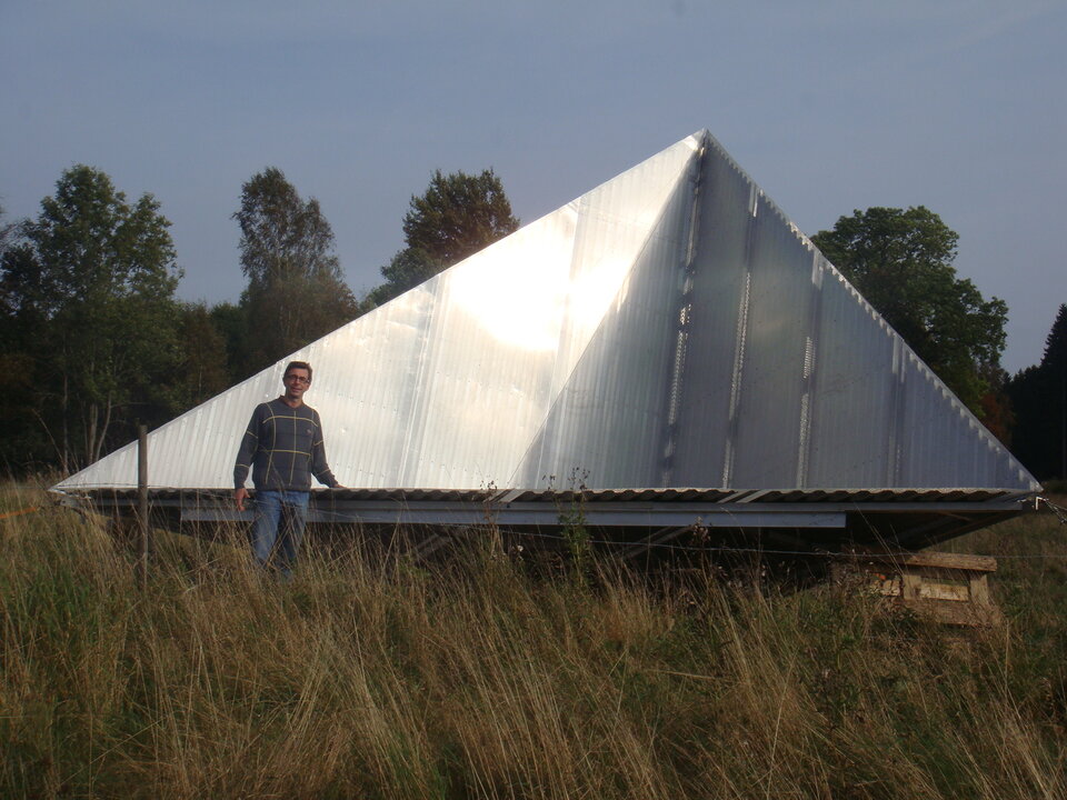
Two huge five-metre corner reflectors, each weighing around 700 kg, were erected at the site to calibrate and assess the quality of data collected by the Sethi.
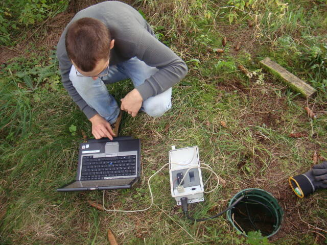
In parallel, scientists on the ground recorded forest characteristics, such as above ground biomass, forest height and ground conditions. Data acquired by a laser scanner on a helicopter that have been collected periodically will also be used to estimate tree height and guide the analysis of the radar data.
Due to the harsh northern climate, boreal forests grow very slowly compared to forests in temperate and tropical regions. Since the last data were acquired only three years ago, it is not expected that the forests will have changed significantly. However, the data will be precise enough to detect the small changes that have occurred during this period.
"This campaign is the first using P-band to evaluate the capability of BIOMASS to measure changes over time in forest biomass, such as growth, thinning and degradation – which is intimately linked to our understanding of global climate change," said Lars Ulander, from FOI.
The data are currently being analysed with results expected mid-2011.