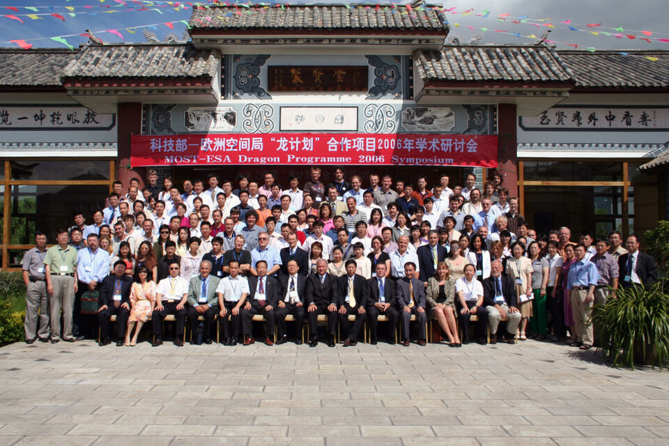
Dragon Symposium highlights success of projects
Nearly 200 scientists are gathered in Lijiang city in the Yunnan Province of the People’s Republic of China to attend the third annual five-day Dragon Symposium.
Opening the symposium, Dr. Liao Xiaohan, Vice Director of the Department of High Technology and Industrialization, Ministry of Science and Technology (MOST) of China, highlighted the success of the Dragon Programme and the scientific results achieved so far, after two years of fruitful cooperation.
The Dragon Programme – a joint undertaking between ESA, MOST and the National Remote Sensing Centre of China (NRSCC) – is a wide-ranging research initiative designed to encourage increased exploitation of ESA Earth Observation (EO) satellite data within China.
In his address, ESA’s Dr. Stephen Briggs, Head of Department of EO Science, Applications and Future Technologies, also welcomed the success of the Dragon Programme and spoke of the progress in EO at ESA since last year’s Dragon Symposium in Greece.
The Lijiang Symposium, held from 10-14 July, brings together the joint Sino-European teams assigned to work together after more than two years of activity to report on the progress and results of each project to date.
Presentations will include details of research being done into the use of ESA’s Envisat and ERS satellite sensors for the building up of land, ocean and atmosphere observations for thematic mapping of key environmental phenomena in China. Supporting in-situ data measurements required to validate the satellite results will be detailed and reports will be presented on joint field missions undertaken by the project teams in 2005.

There are currently 16 Dragon projects including agricultural and forest monitoring, water resource assessment, atmospheric chemistry, terrain measurement, desertification, the ocean environment and climate change. The joint Sino-European teams are led by Chinese and European lead investigators. Since September 2004, 13 of the projects are supported by young European scientists who are receiving training in land, ocean and atmospheric applications in China.
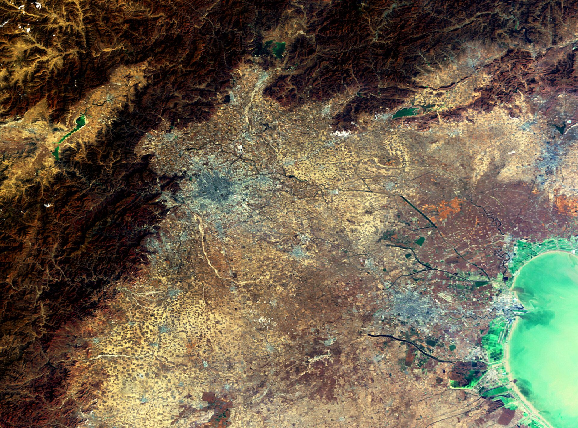
Earth-observing satellites are particularly useful for tackling and monitoring environmental phenomena in China, the third largest country in the world, because of the country’s sheer size and various types of terrain, which range from Himalayan peaks to tropical lowlands. Within the programme, ESA is supplying satellite data mainly from Envisat and ERS on the selected study areas across China and the adjacent seas.
Forest Monitoring
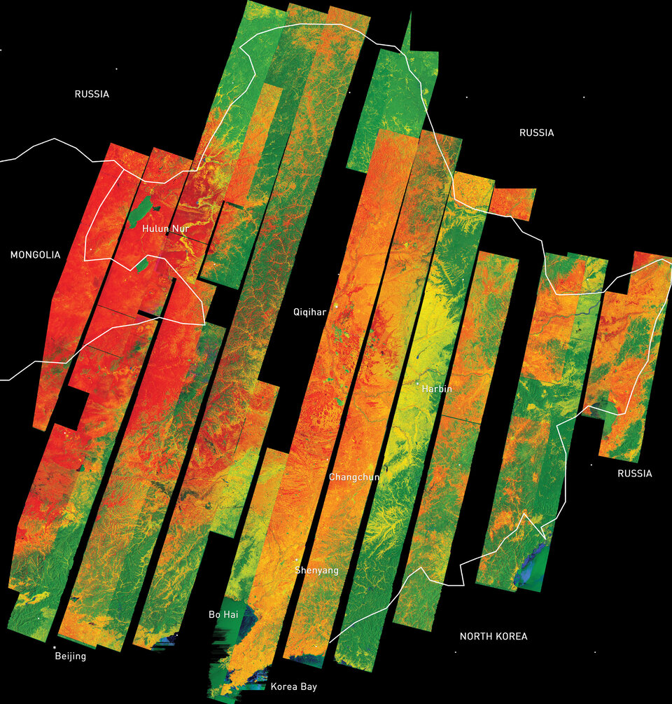
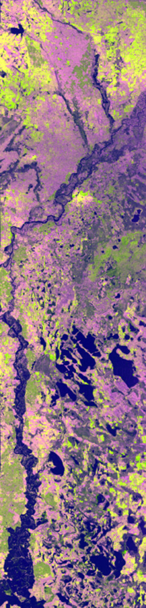
Forests, which cover one seventh of China’s land, have undergone dramatic changes in the last several decades due to forest fires, massive logging and insect infestation. The need to monitor the forests is increasing, especially since the introduction of new laws against deforestation. The Forest Dragon project was developed to generate forest and biomass maps for the main forested regions of China.
To date, the generation of a wall-to-wall forest biomass map of Northeast China has been created based on multi-temporal ERS-1 and -2 tandem data and recently acquired Envisat Advanced Synthetic Aperture Radar (ASAR) data. Synthetic Aperture Radar (SAR) data such as that provided by Envisat's ASAR instrument can enable more accurate woodland monitoring using SAR Interferometry – or InSAR for short.
InSAR involves combining two or more radar images of the same spot in such a way that very precise measurements can be made of ground motion taking place between acquisitions. When repeat pass acquisitions are combined in this way, forested areas can become de-coherent, providing a distinctive signature that enables forested areas to be classified from non-forested areas.
Air Quality Monitoring

China’s spectacular economic growth during the last decade has brought many benefits along with some challenges. Global atmospheric mapping of nitrogen dioxide (NO2) pollution performed by ERS-2’s Global Monitoring Ozone Experiment (GOME) instrument and Envisat's Scanning Imaging Absorption Spectrometer for Atmospheric Chartography (SCIAMACHY) instrument revealed a high level of NO2 hanging above Beijing and northeast China.
As part of the Dragon Programme, Chinese and European researchers are using results returned from GOME and SCIAMACHY to monitor Chinese air quality. Forecasting of air pollution is important to warn and inform the general public. By using data assimilation in combination with meteorological forecast fields researchers are able to forecast air pollution levels.
Flood Monitoring
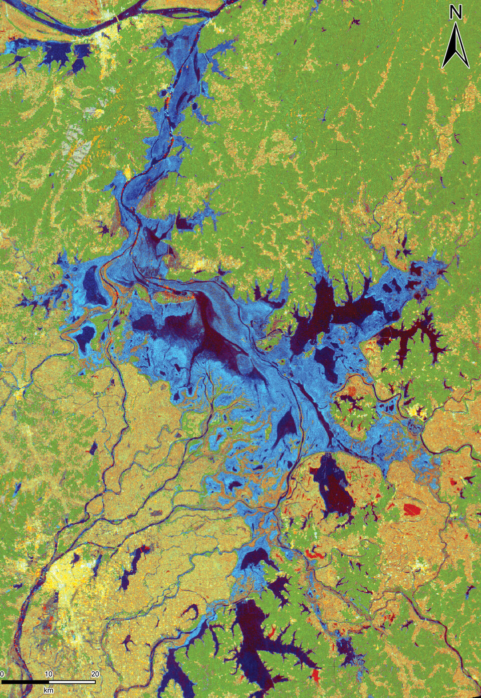
Flooding is the world's most costly type of natural disaster. In China, flooding has cost billions of Euros, caused many fatalities and displaced millions of people. The flooding that occurred in 2005 of the Xijiang, Hanjiang and Weihe Rivers killed 1 247 people, left 331 missing and caused 14 billion Euros worth of damage.
One of the biggest problems is obtaining a clear picture of the overall extent of the flood. Wide area satellite images can show an entire flood within a single picture, with radar instruments of the type flown on ESA's ERS and Envisat spacecraft especially well suited for differentiating between flooded and dry land. A sequence of satellite images can show if the flood is growing or diminishing over time and highlight further areas coming under threat of inundation.
Within the Dragon Programme, a short notice acquisition and delivery procedure exists, enabling Chinese partners to request ASAR acquisitions ahead of the satellite overpass. The processed images are available to download from ESA servers within eight hours after acquisition.
By simply comparing before and after images of the flooded region, a rapid and authoritative damage assessment estimate can be made, factoring in different land cover types to quantify the cost of the flood. Chinese authorities are able to use the maps to identify floodwater extent and coordinate mitigation efforts.
Training

In addition to pairing lead and young scientists together, the Dragon programme organises training programmes. In 2004, ESA allocated resources for the training of young scientists working on the Dragon projects.
Several advanced training courses have been held in China since 2004. For instance, in October 2004, an advanced training course in ocean remote sensing was held at the Ocean University of China, Qingdao. In October 2005, a six-day training course in land remote sensing was held at Capital Normal University in Beijing. Another advanced course in atmospheric remote sensing is being held at Peking University from 16-21 October 2006.