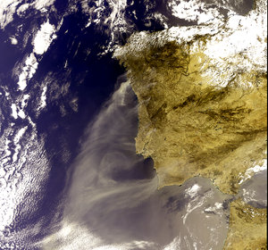
Envisat sees smoke from Europe's worst peacetime fire
London is completely blanketed by the black plume of smoke from Europe's worst peacetime fire in this Envisat image, taken within five hours of the blaze beginning.
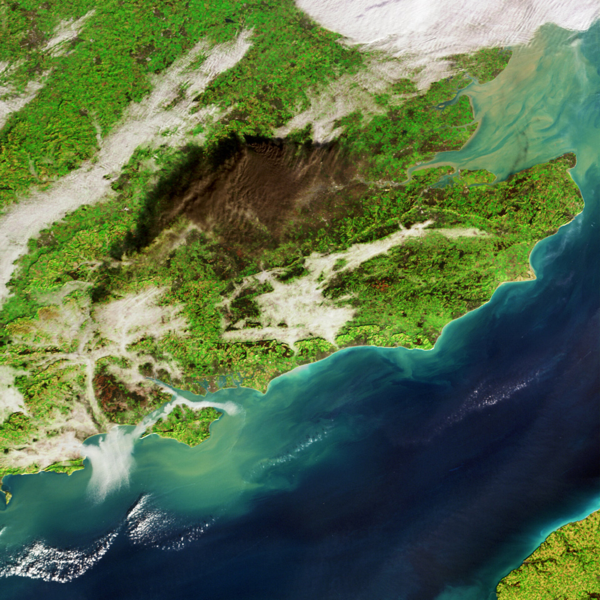
This image was acquired at 10:45 GMT on Sunday morning by the Medium Resolution Imaging Spectrometer (MERIS), one of ten instruments aboard Envisat, Europe's largest satellite for environmental monitoring. This Full Resolution mode image has a spatial resolution of 300 metres, and shows the cloud spread across a span of around 140 km.

The pall of smoke comes from a fire at Buncefield oil depot on the outskirts of Hemel Hempstead. Buncefield is the fifth largest fuel storage depot in the UK, distributing millions of tonnes of petrol and other oil products per year, including aviation fuel to nearby Luton and Heathrow Airports.
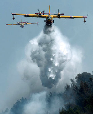
Buncefield is located at the topmost part of the cloud, with light winds blowing the smoke south-west and south-east to cover a large part of Southern England. On Monday morning firefighters began laying down 250 000 litres of foam to control the blaze, which has been reported to be the largest industrial fire in Europe since 1945.

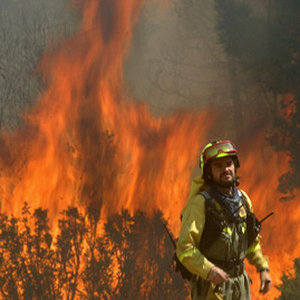
The fire began with a series of explosions taking place on Sunday morning at around 06:00 GMT. Nobody was killed in the explosion but 42 people have been injured, and more than 2000 people have been evacuated from the vicinity of the depot.

All but seven out of 26 storage tanks at the depot are currently burning – each tank contains more than 13 million litres of fuel. Health experts have warned susceptible people to avoid breathing in the acrid black smoke.
The heat of the fire has driven smoke particles high into the sky, with aircraft reporting pollution reaching above 2750 metres, and the cloud stretching from East Anglia to Salisbury Plain.