ESA satellites focusing on the Arctic
The Arctic is undergoing rapid transformation due to climate change, pollution and human activity. ESA’s ERS and Envisat satellites have been providing satellite data of the region for the last 17 years. These long term data sets in combination with ESA’s future missions will be key in implementing the newly adopted European Commission policy called 'The European Union and the Arctic Region'.
The policy highlights new opportunities in the region such as the opening up of long-sought transportation routes due to receding ice. However, it focuses on the need to carry out these activities in a sustainable manner.
In situ research is difficult to carry out in Polar Regions because of the remoteness and harshness of the area. From their unique positions in space, Earth-observing satellites provide effective means of continuously monitoring these regions.
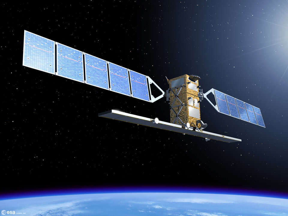
The Advanced Synthetic Aperture Radar (ASAR) sensor aboard Envisat is especially suitable for monitoring the Arctic because it can acquire images through clouds and darkness – conditions often found there. ESA is devoting about half of its radar instrument resources to polar area acquisitions.

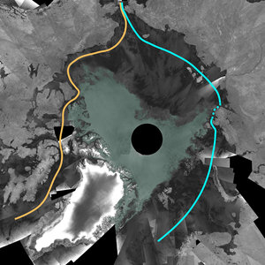
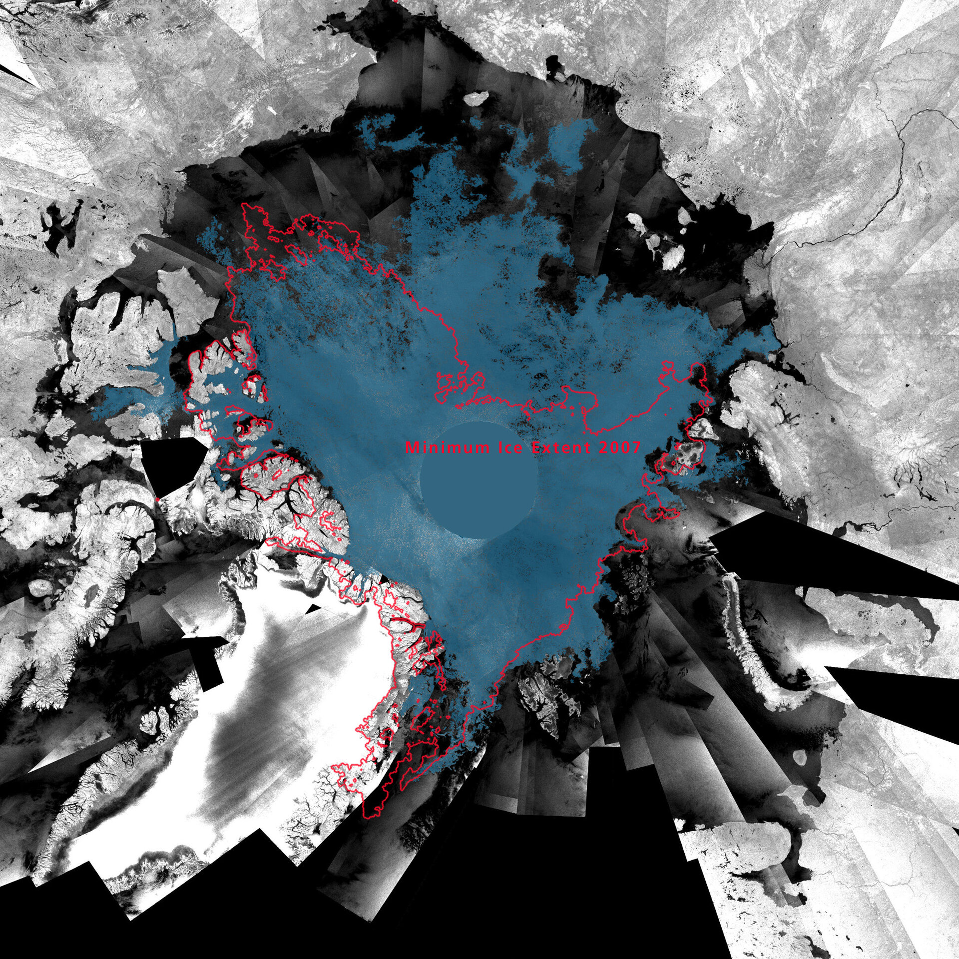
In 2007, ASAR data showed that the Arctic area covered by sea ice had shrunk to its lowest level since satellites began monitoring the area nearly 30 years ago. In 2008, ASAR data revealed that the Northern Sea Route, also known as the Northeast Passage, and the Northwest Passage were both open simultaneously for the first time since satellite measurements began.
Using another instrument aboard Envisat, the radar altimeter, scientists measured sea ice thickness over the Arctic from 2002 to 2008. Based on these data, they found that sea ice thickness in large parts of the Arctic had declined by as much as 19% in 2007 compared to the previous five winters.
The Arctic is experiencing an increase in shipping, primarily for oil and gas development and tourism, with further increases expected due to diminishing ice extent.
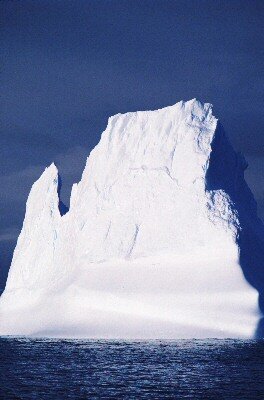
The ice loss leads to an increasing number of icebergs in the area. Safe and efficient navigation through these ice-infested waters requires accurate, up-to-date sea ice information. Iceberg detection services are currently being provided by national ice centres, mainly using European and Canadian radar sensors.
The Polar View initiative, established by European and Canadian organisations under the Global Monitoring for Environment and Security (GMES) programme, cooperates with European Ice Services to improve ice monitoring and forecasting.
Ulf Gullne, a Polar View user responsible for ice-breaking services in Sweden, said: "It is vital for the safety of winter navigation to know where the ice is and where it is going to be. The use of satellite images has also reduced our ice-breakers' fuel consumption by half."
The EC policy calls for the continuity of monitoring in the area via the Global Monitoring for Environment and Security (GMES) – a joint initiative between ESA and the EC to combine all available space- and ground-based information sources to develop an independent European environmental monitoring capacity from planetary to local scales.
ESA is working to ensure this with its upcoming Sentinel missions, which will make certain that polar observations from space will continue with SAR and radar altimetry.
Data collected over the Arctic since 1991 is part of an ESA Initiative on Climate Change that was being presented to ESA Member States at its Ministerial Conference this week. The proposal aims to ensure delivery of appropriate information on climate variables derived from satellites.