Envisat Symposium 2007 highlights
EO satellite achievements
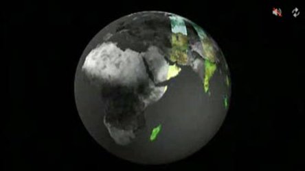
Several hundred scientists from around the world are expected to attend the Envisat Symposium from 23 to 27 April 2007 in Montreux, Switzerland, to present and review results of ongoing research projects using data from ESA’s Envisat, ERS and Third Party Mission satellites.
The main objectives of the symposium include providing a forum for scientific researchers and operational users to meet, present results and compare findings. Earth Observation (EO) services and applications, such as the services developed within the Global Monitoring for Environment and Security Service Element (GSE) and the use of Earth Observation (EO) in support of international environmental conventions, will also be reviewed and assessed.
Oral presentations, posters and demonstrations will focus on the atmosphere, meteorology and climate, oceanography, the cryosphere, land applications and hazards. Some 600 abstracts have already been received by ESA, but based on requests by several scientists the deadline for the submission of additional abstracts has been extended until 1 October 2006.

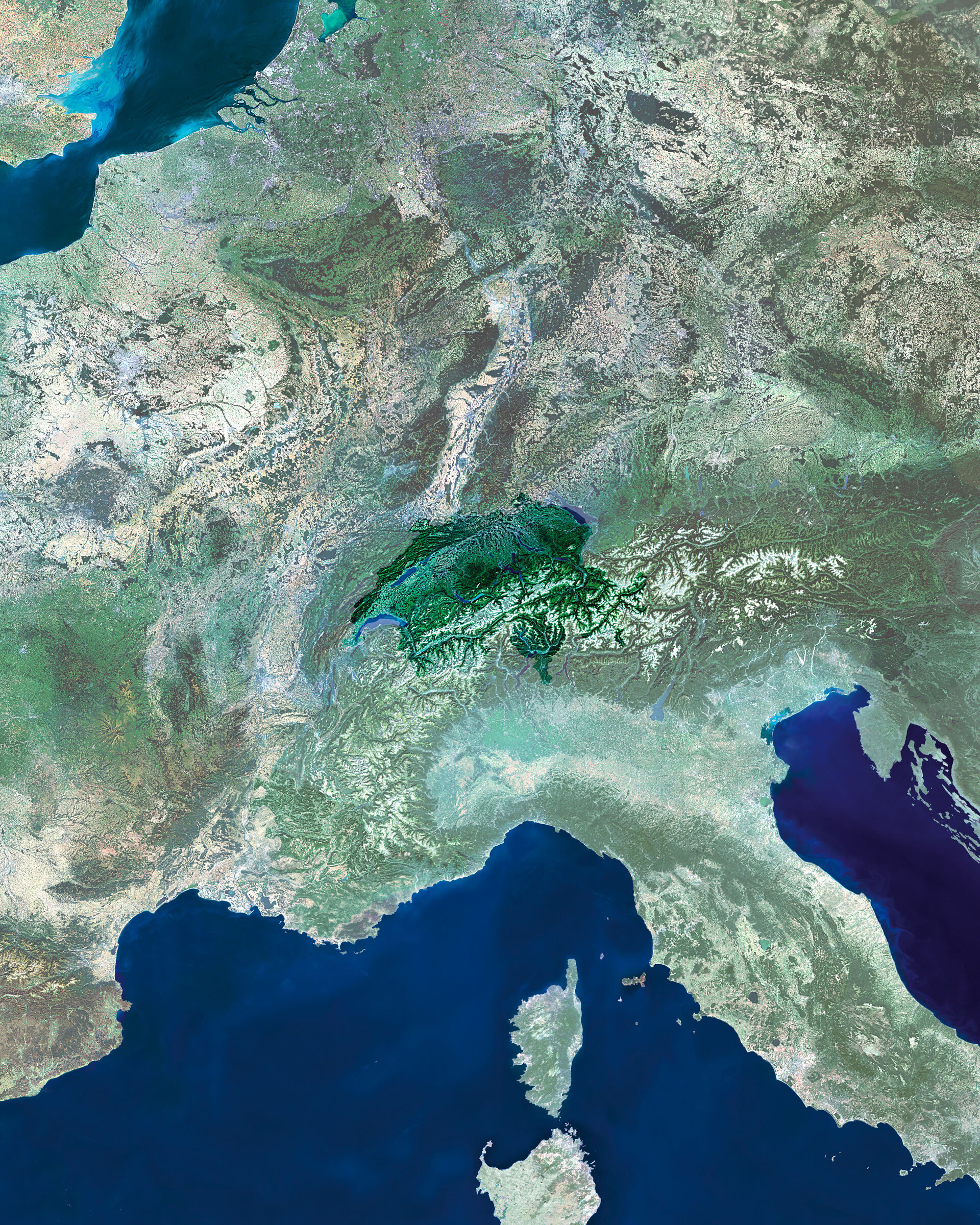
The event marks the first symposium held to review ESA and Third Party Mission satellite results of ongoing research since the last Envisat Symposium held in Salzburg, Austria, in 2004.
Major scientific achievements were highlighted at the 2004 Austrian symposium in the fields of climate change, atmosphere, polar areas, oceanography and tectonics. Researchers explained, for instance, that data acquired by radar altimeter instruments aboard ERS and Envisat showed sea levels had been rising by three millimetres a year since the early 1990s.
Simultaneously, Envisat’s Medium Resolution Imaging Spectrometer (MERIS) instrument had mapped ocean colour, measuring chlorophyll content that enabled scientists to deduce phytoplankton numbers – a vital variable in modelling the extent of climate change.
Also highlighted at the 2004 symposium was the ability of the Synthetic Aperture Radar (SAR) instrument aboard the ERS and Envisat missions to monitor ice sheets, measure the velocity of glaciers and provide historical records of data over the poles.
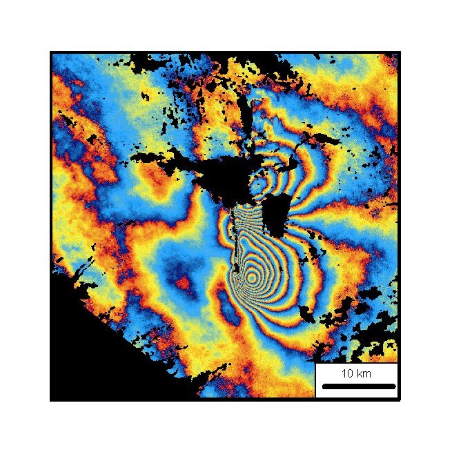
As part of its ‘background mission’, Envisat acquired images of the most seismically active areas of the Earth’s land surface (roughly 15 percent of land). Participants of the 2004 symposium heard how this data proved invaluable in assessing the earthquake in Bam, Iran, in December 2003, which resulted in the deaths of 26 000 people.
By studying radar images of the ground around Bam before and after the quake, scientists were able to construct an interferogram – an image generated by analysing the differences between two radar signals taken over the same area on Earth – and determine the fault was actually in a different place than thought.

Another scientific achievement highlighted in 2004 was the fact that scientists monitored worldwide air pollution with ERS-2’s Global Monitoring Ozone Experiment (GOME) instrument and Envisat's Scanning Imaging Absorption Spectrometer for Atmospheric Chartography (SCIAMACHY) instrument and revealed high levels of nitrogen dioxide (NO2) hanging over industrialised areas of the world.
Also possible in 2004, for the first time ever, was the ability from space to observe pollution generated by tankers over major ship routes.