
Earth from Space: Bumpy borders
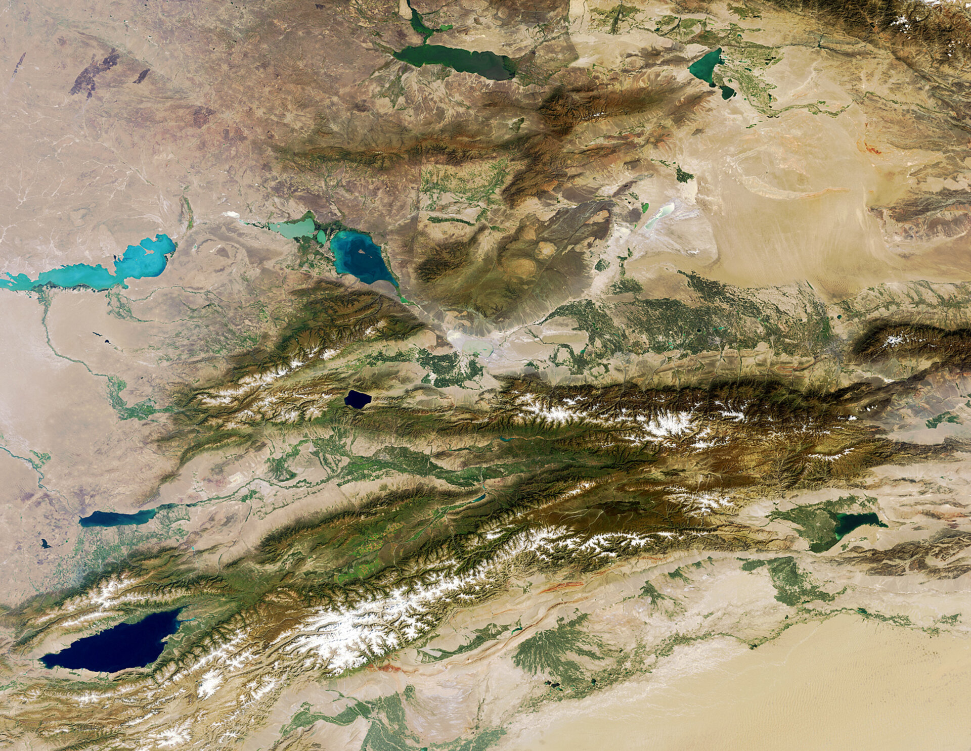
The Tian Shan mountains, stretching across the border region of Kazakhstan, Kyrgyzstan and western China, are pictured in this Envisat image.
As one of the longest mountain ranges in Central Asia, the Tian Shan mountain range is about 2800 km long. They are home to evergreen spruce trees at altitudes of over 2000 m, while the lower slopes have natural forests of wild walnuts and apples.
The large, dark lake that splits the mountain range in eastern Kyrgyzstan (lower-left corner) is the second largest saline lake after the Caspian Sea.
Named Issyk Kul – meaning ‘hot lake’ in the Kyrgyz language because it never freezes over – it covers an area of over 6000 sq km and reaches over 600 m deep.
This was a stopover point on the Silk Road from the Far East to Europe, and some historians say it was the point of origin for the Black Death during the 14th century.
In the upper-right corner are the Dzungarian Basin and its Gurbantunggut Desert in light brown.
This image was acquired on 7 September 2011 by Envisat’s Medium Resolution Imaging Spectrometer.
The Image of the Week is featured on ESA Web-TV, broadcast online every Friday at 10:00 CET.

